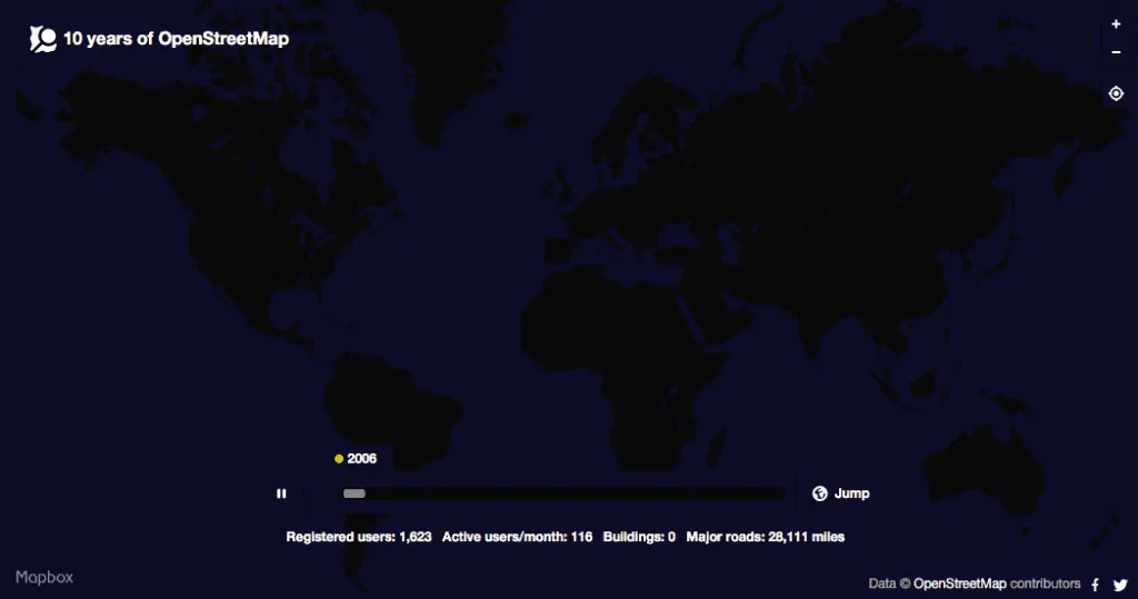
OpenStreetMap Visualization: How much has OSM grown in the last ten years?
OpenStreetMap – the “wikipedia of mapping”, launched in July 2004 is slowly becoming the mainstream map data platform behind many mobile apps and websites. (Related: Why would you use OpenStreetMap if there is Google maps). But then, how much has OSM really grown over the years?
How much has OSM grown over the years?
The coolest way to answer that question – is this geoawesome visualisation of the first 10 years of OSM by Eric Fischer. (Web map – The first ten years of OSM).
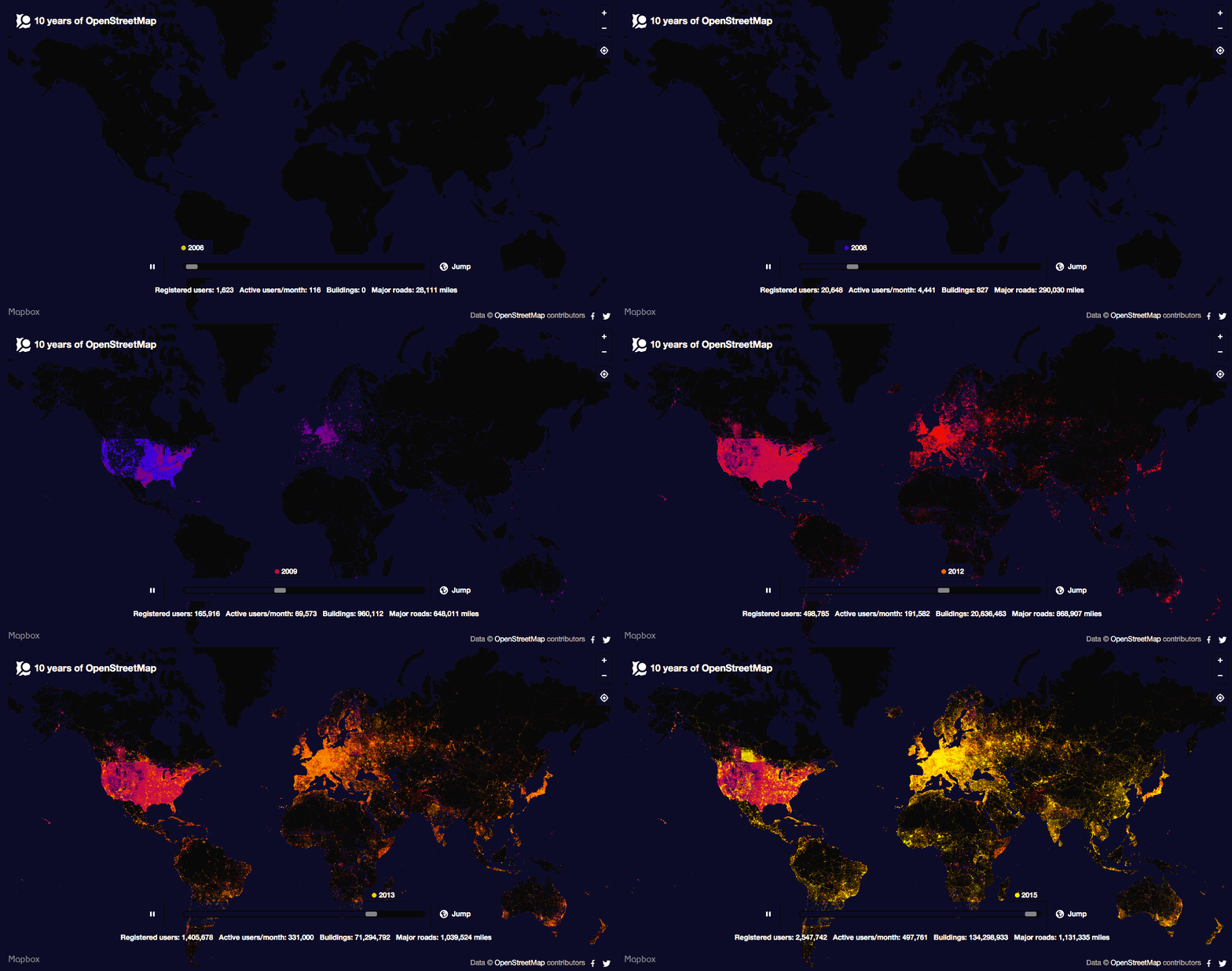
Its really interesting to see how quickly OSM started to expand in Asia and Africa once it became popular compared to North America and Europe. Guess this argument might be valid for most things tech! Not only has OSM exploded over the years, the number of registered users have certainly skyrocketed from its humble beginning in mid 2004.
Eric first published the map back in March 2015, so it might be interesting to see where things stand as of today, considering that there were around 300,000 new registered users of OSM during that period.






 As the number of drones around the world is growing fast, law enforcement agencies started to seriously look at risks related to millions of these devices flying over our heads. The risk might be related to drone crushing in a crowded place, but we can also imagine a scenario where drones are being used for terrorist attack.