NRM: online, interactive and mobile

NRM: online, interactive and mobile
In this fast paced technological world it seems everyone is always connected. Mobile phones, smart phones, tablets, notebooks; where would we be without them? Cradle Coast NRM continues to improve its ‘mobile’ approach to natural resource management with a new GIS Gallery and upgrade to the Top 10 Weed Pocket Guide App.
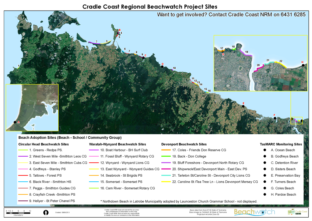
The development of the online GIS (Geographic Information System) Mapping Gallery presents natural resource management information in a simple, visual and interactive format. The integration of GIS Web Maps with text and pictures connects you directly with the landscape, almost as if you are physically there.
GIS enables Cradle Coast NRM to create visually appealing maps whilst also telling a story. You can revisit past NRM projects and investments, learn about what Cradle Coast NRM does in the region, or simply have the acronym NRM explained. This new communication tool increases the relevance of Cradle Coast NRM to local, statewide, national and international audiences.
Potential future developments of this technology could also allow Cradle Coast NRM staff to map on ground works via an online/mobile integrated mapping tool.
The GIS Gallery is available to view now at www.cradlecoastnrm.com/GISGallery. A selection of the web maps and web mapping applications are being ‘mobile optimised’ and will be available through the free, newly updated Cradle Coast NRM Android application.
To find out more about GIS technology contact Project Officer: GIS & NRM, Mark Wisniewski, on 6431 6285 or email mwisniewski@cradlecoast.com


