New Google Earth will be released next week
Google Earth is one the best mapping tools ever. It democratized the mapping industry and made millions of people around the world spatially aware. It has been used by urban planners, archaeologists, and the tourism industry. It made the whole world accessible with a click of a button. Exploring our planet started to be easy like never before.
Although it has been largely cannibalized by Maps, many people including me still use it, especially the Pro version which is also available for free. It’s the fastest way to browse ShapeFiles and KMLs, and The Timelapse feature is simply amazing. Unfortunately, the user interface remembers the past decade, and it feels a bit old-school.
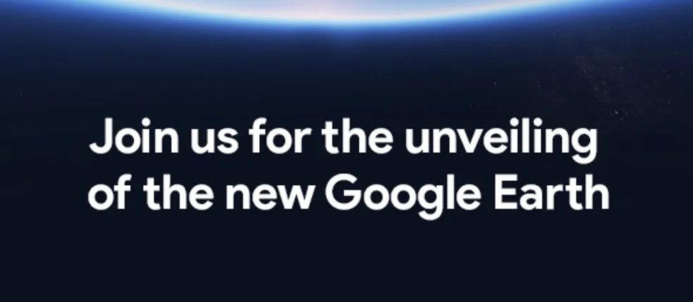
Next week it’s all about to change. Yesterday Google sent out press invites to attend an event, where the company will reveal the “new Google Earth.” The event is planned on April 18th, 8:30 AM ET at New York’s Whitney Museum of Art. We expect to see a new user interface, integration with other Maps services and support for more VR headsets as currently, the app is only available for HTC Vive. The event is also interesting in the context that recently Google made Google Earth Enterprise open source…
The Google Earth predecessor has been initially launched by the company called Keyhole back in 2001 (and interestingly it has been financed by CIA). In 2004 the company has been acquired by Google, and its founders including John Hanke (founder of Pokemon Go), and Brian McClendon have been leading the Google Maps for almost a decade.
I’m really glad to see that the company did not ditch the Earth project, even if it’s not the most profitable one. For me and many other people, it was and still is, a game changer app.


