How to measure distance in Google Maps?
Google Maps has revolutionized the way we navigate and explore the world around us. While its primary function is to provide directions and location information, Google has incorporated various features that make it a versatile tool, even for tasks beyond simple navigation. One such feature allows users to measure distance between two or more points on the map, not just in terms of driving routes, but also in straight lines, regardless of roads or paths. This capability can be immensely useful for a wide range of purposes, from planning routes to assessing the proximity of locations. So, let’s find out together how you can leverage this tool to measure distances effectively.
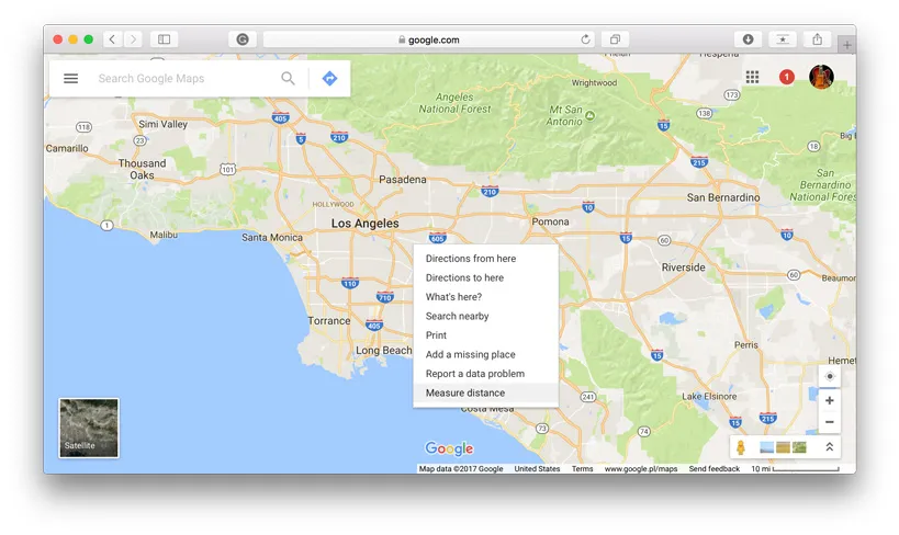
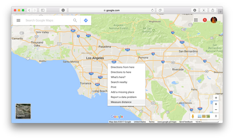
1. Go to your starting point on the map, right-click and choose Measure distance.
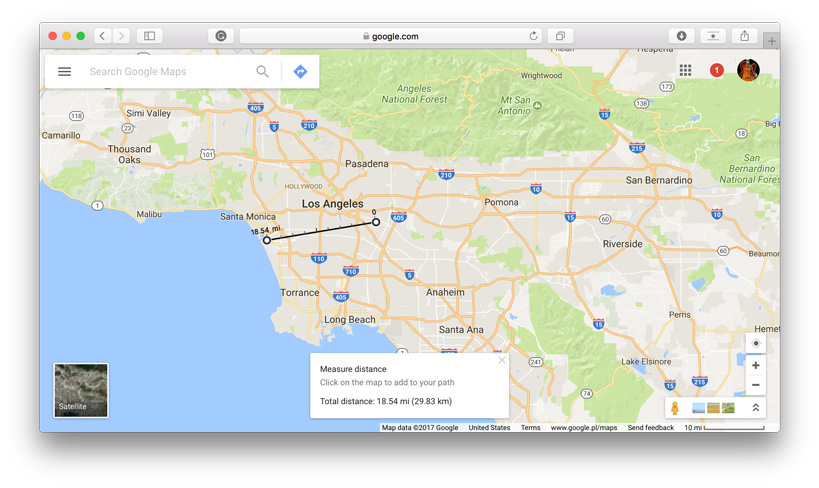
 2. Click anywhere on the map to create a path you want to measure. At the bottom, you’ll find the total in miles (mi) and kilometers (km).
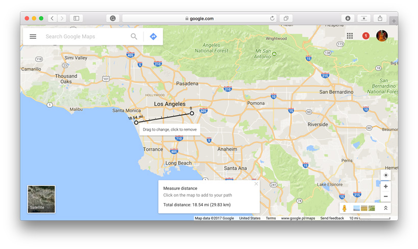
3. You can edit the path by dragging the points.
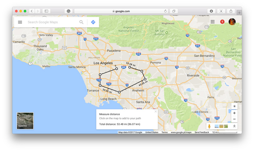
4. Add other points by clicking anywhere on the map. You’ll get the total distance of the path.
It’s that easy and it works also on iOS and Android.
Did you like this post? Read more and subscribe to our monthly newsletter!


