This brilliant new map visualizes travel time, not latitudes and longitudes

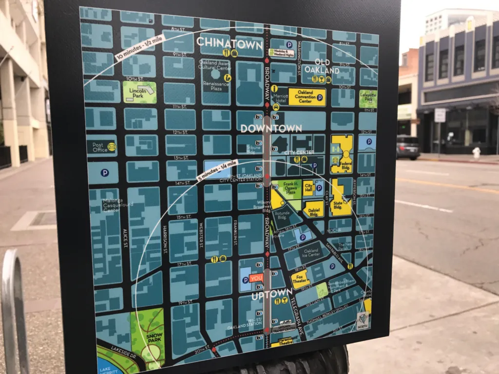
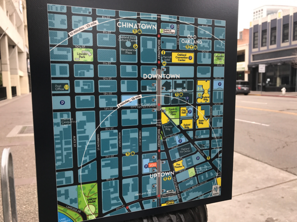
Old pedestrian maps show travel time assuming that people move like flying crows: in a straight line
Most people use maps in their daily lives not to see the exact geographical location of a place, but to figure out how much time it’s going to take to get there. The time element dictates all kinds of decisions we make – should I take the metro or hail a cab to go to work, where should I grab lunch, is a day-trip enough to visit that new touristy spot? The physical space finds itself being translated into units of time, courtesy accurate geocoding and navigation algorithms.
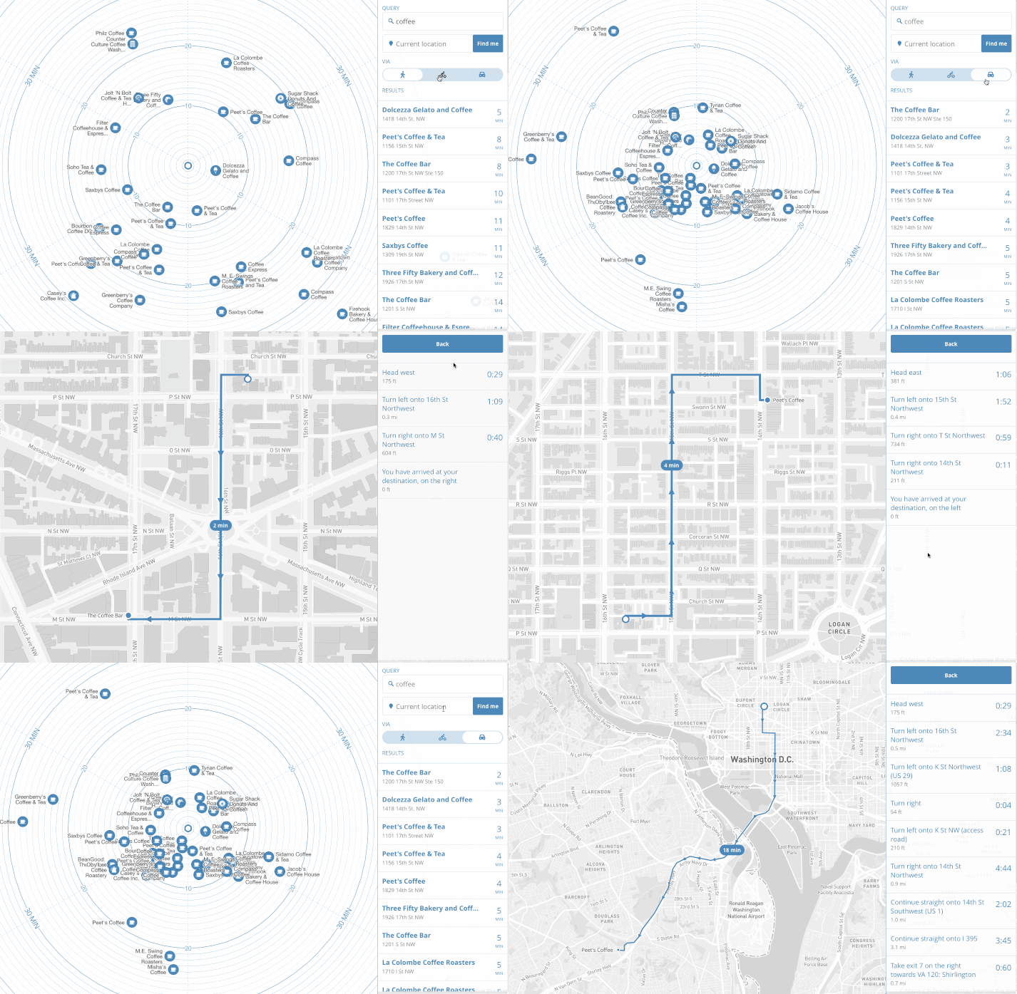
But when the length of the commute is so critical, why must we visualize the places around us in latitudes and longitudes? Why not cut to the chase and visualize our neighborhoods in travel time? For Mapbox’s Peter Liu, this question turned out to be an opportunity to see what a map of time would look like. He took search results from the Foursquare API and came up with the following:

As you can see, the map puts you, the user, at the center. Each place’s direction is preserved relative to where you are at the moment. Concentric circles flow outwards indicating the time it would take you to reach that place, depending upon the mode of transportation you choose: Walking, biking or driving.
“By removing literal geography, we now have a map that more closely reflects the way we think about our environment: a cluster of restaurants ‘five minutes that way’ versus ‘ten minutes the other.’ We can watch our surroundings literally expand and contract with different means of travel,” Liu explains in a blog post.
Unlike popular apps like Google Maps or Waze, which allow you to see the ETA to your destination, the time map is designed to help you in situations where you don’t know what your Point B is. So, if you are looking for a coffee shop in the vicinity, just search for ‘coffee’ and you will see the result arranged by the time it would take you to get there. Once you zero down on one place, you will be able to see the directions in the usual ‘left turn-right turn’ format.
The current version of the map is just a prototype, and Liu is working on adding streets to his concentric circles. But the product is basically plug-and-play, which means it can be integrated into any app or service and programmed to use that app or service’s search functionality to generate results.
Check out the live map here.


