Lyft rides will now be powered by Google Maps

You know how you get into a Lyft and find the driver fidgeting with his phone? The poor chap is usually toggling between the ride-hailing app and a third-party navigation app like Google Maps or Waze, figuring out the turn-by-turn instructions to your drop-off point. Well, these rides are going to become much swifter now – at least if your driver has an Android phone.
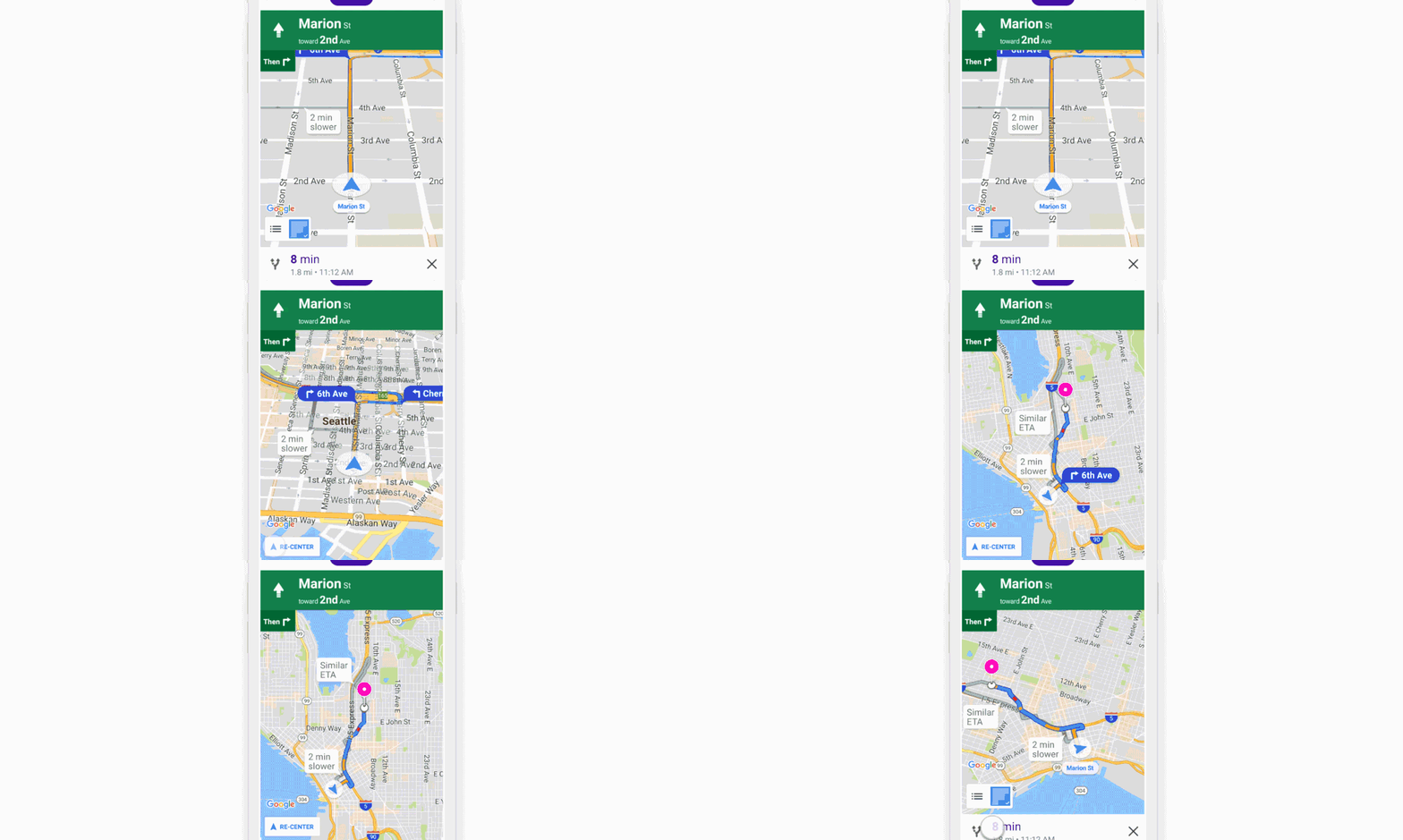
Lyft has just announced that it has embedded Google Maps into its driver app for Android (an iOS launch is expected soon), thus saving everyone from a lot of unnecessary hassle. And while the time saved per trip from this move may not seem like much individually, collective insights into the routes its drivers take will definitely go a long way to help Lyft improve its offerings. This data, as well as the in-app navigation facility, is especially important for providing efficient carpooling services.
The new feature could be made possible only after Lyft separated its driver app from the rider app a few months ago. When both drivers and riders shared a common platform, providing user-specific features was not really possible. So, the drivers had been complaining for a while now about the inconvenience they faced while toggling between different apps. Moreover, Lyft’s rival Uber had redesigned its driver app earlier in the year to accommodate for in-app navigation through Google Maps.
Considering Lyft has been working with Google family’s self-driving car company Waymo for some time, strengthening its association with the company was only natural. Not to mention that Lyft wouldn’t leave any chance to knock the competitive edge off Uber!
But what if a driver prefers Waze (also owned by Google’s parent company Alphabet btw) over Google Maps? They get an option to opt-out of the update, of course. Everybody wins!


