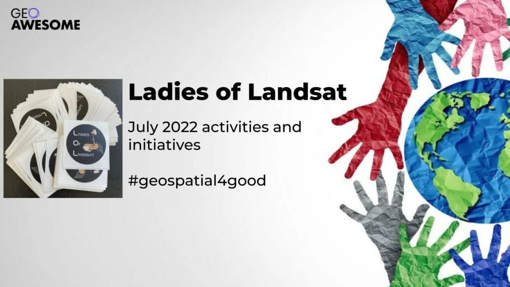

Building a more diverse, inclusive, open and welcoming geospatial industry is all about giving a voice to a more diverse group of geospatial experts and it’s a pleasure to showcase Ladies of Landsat and the all the awesome work they do! Here is the summary of their activities in July 2022.
June 27 – Ladies of Landsat account reached 10,000 followers on Twitter!
?We now have 10,000 followers! THANK YOU!?
This huge milestone motivates us to keep pushing towards an inclusive future in #EO!?️
To celebrate, we're having a sticker raffle! Comment what #LadiesofLandsat means to you by July 1 to enter. We'll pick 10 random winners! #EOChat pic.twitter.com/xn86Mj1rDp
— Ladies of Landsat (@LadiesOfLandsat) June 27, 2022
June 27 – Manuscript Monday feature of Dr. Meha Jain
.@Meha__Jain et al. (2021) quantify the potential impacts of groundwater depletion on India's cropping intensity using a high-resolution winter cropped data product made from #MODIS #EVI. #LoLManuscriptMonday https://t.co/Y8oKl3rNQ9 pic.twitter.com/O08A6eelAe
— Ladies of Landsat (@LadiesOfLandsat) June 27, 2022
July 4 – Our co-director, Dr. Morgan Crowley, gave a guest lecture to the EAGLE MSC study program at University of Wuerzburg about science communication and Ladies of Landsat.
great talk by @morganahcrowley about @LadiesOfLandsat and their important work and history – plus their sisters @SistersofSAR @WomenofWaves @DamesOfDrones – very inspiring for our #EAGLE #earthobservation students pic.twitter.com/TzA4DWhDhw
— EAGLE international Earth Observation MSc (@EAGLE_MSc) July 4, 2022
July 4 – Manuscript Monday feature of Dr. Antara Dasgupta
.@ant_dasgupta et al. (2021) simulate multiple spatiotemporal high-resolution #SAR-based flood extent assimilation scenarios in Australia to identify the best observation design for flood forecasting with the #LISFLOOD-FP model. #LoLManuscriptMonday https://t.co/nUQm3BBvlk pic.twitter.com/EDre1XUQqy
— Ladies of Landsat (@LadiesOfLandsat) July 4, 2022
July 11 – Manuscript Monday feature of Chelene Hanes
.@WildfireScience et al. (2022) create a methodology for mapping organic layer thickness & fuel loads for the boreal forest in Alberta, Canada using in situ plot data, covariate raster data, & a #RandomForest #MachineLearning approach. #LoLManuscriptMonday https://t.co/xZS1bdgzks pic.twitter.com/PMqe1VocLi
— Ladies of Landsat (@LadiesOfLandsat) July 11, 2022
July 18 – Manuscript Monday feature of Yingtong Zhang
.@YingtongZhang et al. (2022) quantify the availability of #Landsat Tier 1 data from 1985-2020 as density metrics measuring cloud-free, snow-free, unsaturated, non-hazy pixels for global time-series analyses of land change monitoring. #LoLManuscriptMonday https://t.co/1FCNxy7ZHY pic.twitter.com/69rE3zgKWl
— Ladies of Landsat (@LadiesOfLandsat) July 18, 2022
July 21 – Our founder and co-director, Dr. Kate Fickas, visited @Interior Assistant Secretary @AsstSecTrujillo in Washington DC and presented together with other Ladies of Landsat about their research to congressional staff on Capitol Hill for the @NASA_Landsat @USGSLandsat 50th Anniversary celebrations. #Landsat50
A true honor to visit @Interior Assistant Secretary @AsstSecTrujillo with @LadiesOfLandsat in Washington DC this week for the beginning of @NASA_Landsat @USGSLandsat 50th Anniversary celebrations #Landsat50 ???
? from the beautiful office of @SecDebHaaland! #WomenInSTEM pic.twitter.com/6gJckegMzs
— Dr. Kate Fickas (@katefickas) July 21, 2022
July 25 – Manuscript Monday feature of Itohan-Osa Abu
.@Itohan_Osa_ et al. (2021) use multi-sensor observations from Sentinel-1 #SAR and Sentinel-2 in a #randomforest algorithm to map and analyze 2019 cocoa plantations relative to protected areas for Côte d'Ivoire & Ghana, West Africa. #LoLManuscriptMonday https://t.co/MDHhSNlc2Q pic.twitter.com/D5rR2g0uhg
— Ladies of Landsat (@LadiesOfLandsat) July 25, 2022
Overview Ladies of Landsat:
It is a supportive and intersectional organization for underrepresented remote sensing scientists. It was founded in 2018 by Dr. Kate Fickas and joined soon after by co-director Dr. Morgan Crowley and lead-organizers Dr. Flávia de Souza Mendes and Dr. Meghan Halabisky. Ladies of Landsat aims to lift up, retain and attract underrepresented scientists to Earth observation sciences through our many outreach activities and networking events!
Manuscript Monday database:
https://github.com/ladiesoflandsat/LOLManuscriptMonday/blob/main/README.md
Did you like the article? Read more and subscribe to our monthly newsletter!


#People


Next article

I remember sitting in a lecture hall, listening to one of my first lectures at the University of Waterloo when I was enrolled in the geomatics program there. At the end of the lecture, the professor decided to show us a video of a government official from Canada using their cartographic skills to help a certain region within an African nation combat an issue they had with land mines.
It was then that I realized I can use my GIS and mapping skills for the greater good and that that’s what I wanted to do no matter how minimal my contribution was.
So the next question I asked myself was, how am I going to do that exactly?!
It’s challenging to find ways to help others when you are trying to balance school work with so many other responsibilities. It can be hard to find the time to volunteer for humanitarian agencies. Also, I found that a lot of humanitarian work is done overseas and it can be difficult (and not to mention quite costly) to travel in between semesters to actually help out on the forefront.
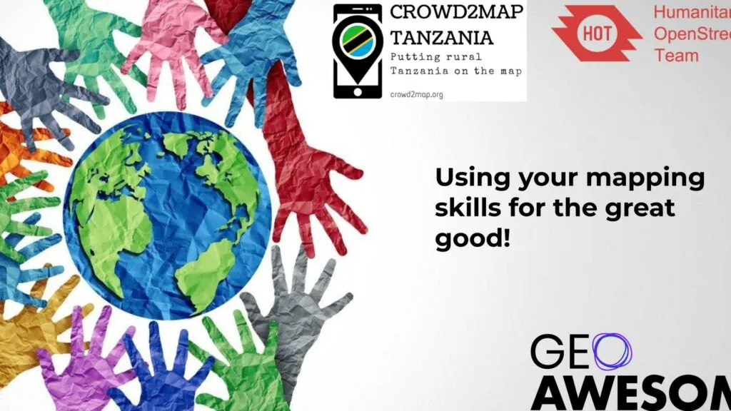
The pandemic changed the way in which we work, volunteer and communicate with one another. It made it more apparent that you can help people deal with crises globally in countries like Afghanistan, Peru and Mozambique from the comfort of your own home. In fact, at the beginning of the pandemic in 2020, Humanitarian OpenStreetMap Team (HOT) started a Data Quality internship program which I took part in (along with other individuals) for approximately 3 months. Note: this was an unpaid opportunity at the time, however it is now a paid position. The program required a group of individuals to participate in training webinars where we learned how to utilize OpenStreetMap (OSM) data quality assurance tools such as OSMCha, JOSM, Overpass Turbo, etc…We also spent a certain amount of hours each week either mapping or validating tasks for certain projects within the Task Manager for HOT. You can find their website for more information and details on how you can get involved (Visit Humanitarian OpenStreetMap Team).
For those of you who are unfamiliar with HOT and their work, the Humanitarian OpenStreetMap Team (HOT) comprises a group of individuals that work in countries across the globe that are dedicated to “humanitarian action and community development through open mapping”. HOT uses a tool called “Tasking Manager” to manage their projects in an effort to split up larger projects into smaller tasks as well as to improve collaboration amongst volunteers. Anyone can volunteer to map/validate tasks so long as they have an OpenStreetMap account since HOT’s Tasking Manager uses OpenStreetMap data. If you want to learn how to map/validate tasks in the Tasking Manager, visit Learn – HOT Tasking Manager for some helpful step-by-step guides and videos on how to do so.
I also learned about a website called Map Roulette during my internship with HOT, where I found quick mapping challenges (ranging from novice to expert level) in an effort to improve OSM data. The goal is to edit/verify whether or not lines, polygons or points of a specific task are in the right location or are digitized correctly.
Prior to enrolling in the HOT Data Quality internship program, I signed up for an online volunteering position through the United Nations volunteering website and was mapping buildings and roads for projects that were run by Tanzania Development Trust.
The Crowd2Map Tanzania project (which was founded by Janet Chapman, chair of Tanzania Development Trust) seeks to put rural Tanzania on the map in an effort to fight female genital mutilation (FGM). If there are better maps with more accurate data out there, then women & girls that are subject to FGM can be located and aided. If you are interested in volunteering for Tanzania Development Trust/Crowd2Map Tanzania, you can access their mapping projects via the HOT Tasking Manager.
It has become easier to use your mapping skills for the greater good from the comfort of your own home without having to spend a huge amount of time, energy and money to do so!
Did you like the article? Read more and subscribe to our monthly newsletter!

