#Business #Ideas

Integration Of Car Sensors And Smartphones For The Better Environment – Project enviroCar Searching For Crowdfunding

enviroCar---GeoawesomenessWe’ve seen over last months several projects that aims to connect car sensors to your smartphone… with BMW M Power App on the top. But project which is being developed by 52°North company and Institute for Geoinformatics in Münster, Germany aims not to challenge your track driving abilities by your awareness of the impact of driving behaviour on the environment.

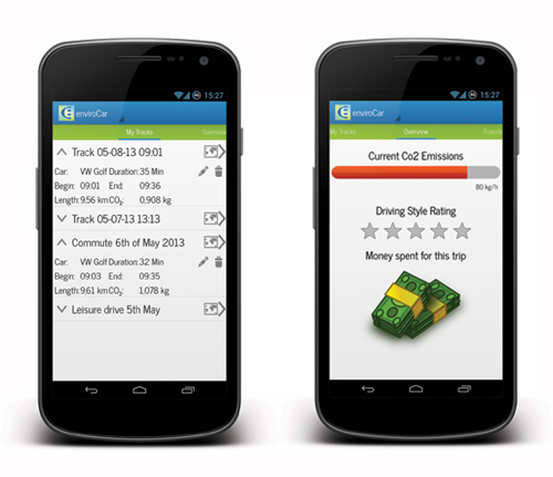
enviroCar” will allow you monitor your real-time car data such as speed, fuel consumption, CO2 levels, and noise emissions. The app will connect to your car sensors via a simple plug-in OBD-II adapter over bluetooth. Than when you have access to Wi-Fi it will transfer the data to your web-based account and share it with the community. You will be also able compare your driving behavior with friends and unlock achievements for efficient driving. The data you will contribute to ‘the community’ will be able to help in identify e.g. traffic issues and pollution hotspots.

If you like the project and you see the potential in the idea please support the project on the crowdfunding platform Indiegogo. They still need to get €3730 euros in less than 2 weeks.

enviroCar---App---Geoawesomeness

Say thanks for this article (0)
The community is supported by:
Become a sponsor
#Business
#Business #Events
SatSummit 2024 Reflections: The evolving landscape of Earth Observation
Avatar for Florian Fichtner
Florian Fichtner 05.22.2024
AWESOME 9
#Business #Featured #GeoDev
Geo Addressing Decoded, Part 3: Diving into the Key Features of Precisely’s Geo Addressing System
Aleks Buczkowski 06.29.2024
AWESOME 4
#Business #Featured
Global Top 100 Geospatial Companies 2025
GeoawesomeTeam 09.23.2024
AWESOME 5
Next article
#Ideas

The Topography Of Tweets – Elevation Map Of All Tweets Since 2009

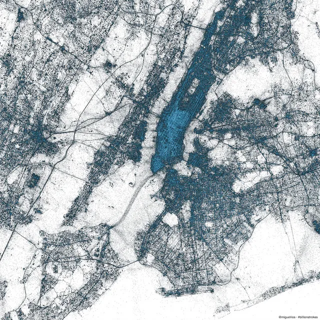
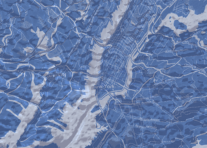
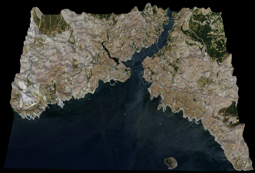
Tweets_New YorkDoes it sound familiar? Correct. Two weeks ago Twitter showed the map showing every geotagged tweet since 2009. This billions of points were enough to map in detail almost every larger city on the planet. It could be considered the XXI century land-use model, mapping roads, cites, rivers, seas etc. But how about tweet density? It is visible in a small-scale but Twitter though about a better way to visualize it – elevation.

Each ‘mountain range’ below is actually the density of geotagged tweets visualized. When you look closely at the New York maps you will see the Brooklyn and the Queensboro bridge but also some activity on the Staten Island ferry.

Potential of such a data? Cross analysis with census data and retail location could bring geomarketing and location intelligence fields into a new level. Where to locate a new store? How to geographically optimize outdoor advertising campaign? This only the part of the equation… such a data needs to be handled smartly and not revealed to the general public… Why? Imagine one more application: where to plan a terrorist attack to cause the highest damage…

New York

new york tweets geoawesomeness

Istanbul

Istanbul Tweets Geoawesomeness

San Francisco

San Francisco Tweets Geoawesomeness

You can play with the visualization of New York, San Francisco and Istanbul here.

Read on
Search