Flying a drone might be tricky. Drivers can always rely on navigation apps and maps but drone pilots can rely only on their experience and smart systems on their flying devices.
Not any more. California-based start-up Hivemapper wants to become a Waze for drone pilots. The company is mapping boundaries and heights of buildings and other obstacles, as well as no-fly zones across the US. Additionally it gathers user-generated data about points of interested, landing spots and incidents.
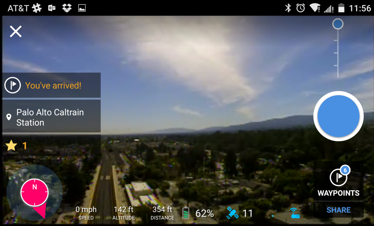
Users can access the data via Android app which for now supports only DJI drones. The app allows you to view real-time images from your DJI Phantom’s camera with overlaid Virtual Reality icons showing things like building distances, points of interests and altitude. It also includes information about no-fly areas and user-reported event data, so that pilots know what areas to avoid. If you don’t have a DJI drone you can still browse the map on Hivemapper website for example to check no-fly zones in your area.

The app is quite fresh as it has been only released to public beta in November but the company claims that their map already includes detailed data on the footprints of 23 million buildings, the height of 10 million buildings, about 15 million points of interest and tens of thousands of no-fly zones in the U.S.
The first comments in Google Play store are quite positive. The next steps for Hivemapper are to support more devices (than just a 3 DJI models) as well as to launch the iPhone app. We haven’t tested the app yet but we support every initiative that makes our skies safer.


