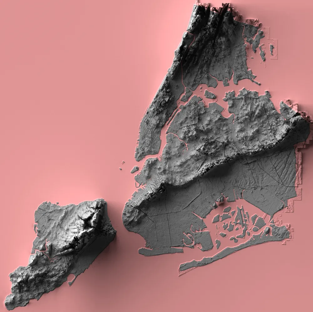
Historic topographic maps in new look-Is 3D doing the magic?
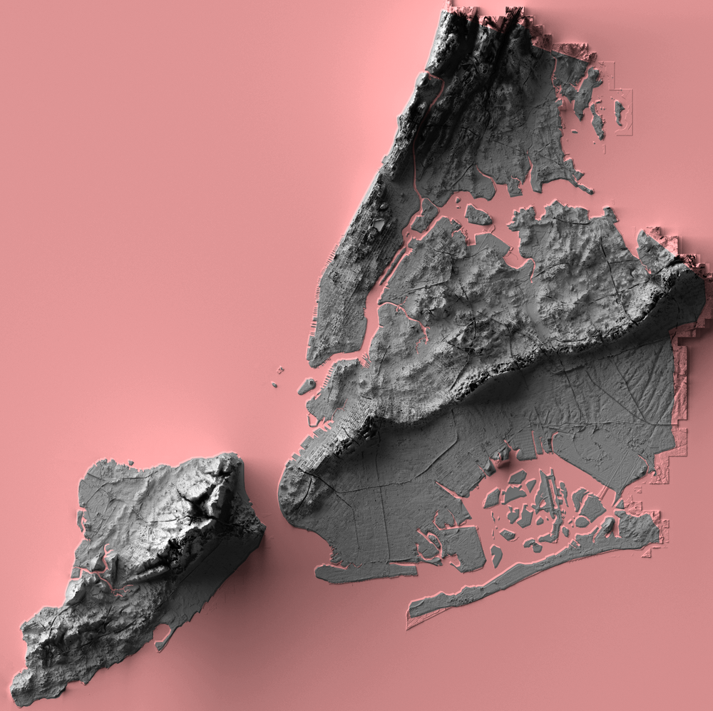
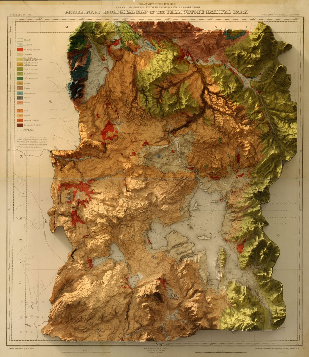
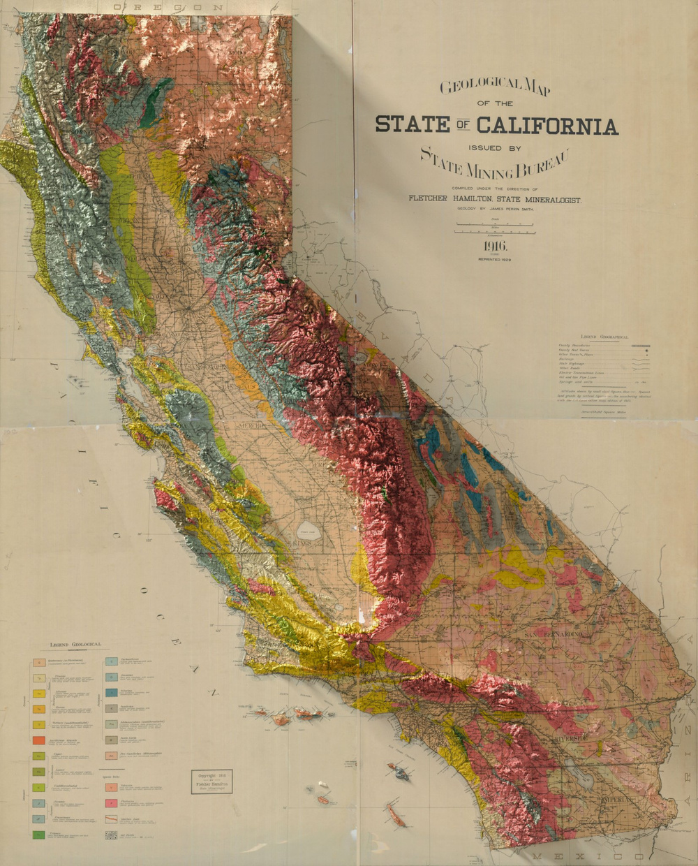
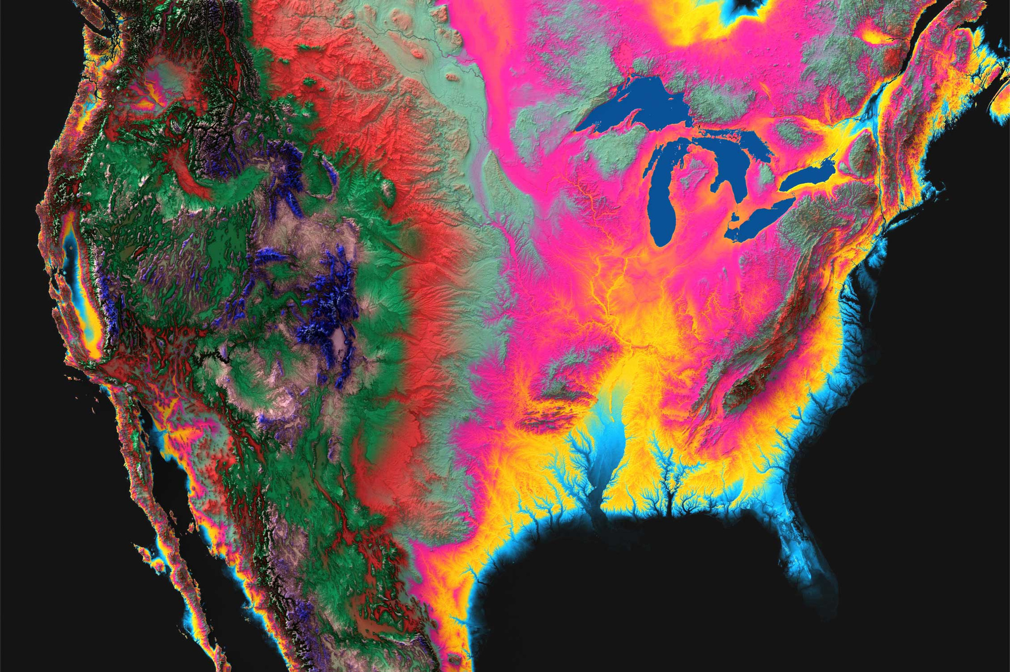
Combining creativity, love for maps and excellent graphic designing skills, a Brooklyn-based graphic designer, Scott Reinhard is giving Historic topographic maps a new look. Putting old geological survey maps with elevation data, the designer is creating hybrid topographical maps which are a visual delight. These maps tell a lot more about the location.
These Historic topographic maps in 3D look, are enabling viewers to see old places in a new light. I was fascinated to witness the shadows that are cast by the topological part of the maps onto the borders. What’s more interesting? These maps are actually 2D! But, in no way you can tell!
Take a look at a few fascinating ones below.
Exotic paper versions
The beautiful 3D Elevation maps that are created by the par excellence graphic designer, mapper, and land visualizer, Scott Reinhard, are available as paper maps on demand. The maps are high-quality chromogenic prints, which combine 3-dimensional data with paper maps to create an image that seems to be popping off the page, just like a 3D object. Innovative! I must say!
If you have a favorite location, why not have a map of it? And, why not have a hybrid topographical map that will almost talk to you! I am definitely considering!


