#Featured #People

What Google Earth and Pokémon Go have in common? John Hanke.

John Hanke Geoawesomeness

Pokémon Go is on everyone’s lips. The game achieved unprecedented success. Nintendo’s shares skyrocketed, recording the biggest rise since 1983. In the US, the number of active users is estimated at 21 million and it is believed that the number of users all around the world may soon exceed 200 million. Incredible!

The father of this success is John Hanke, the founder and the CEO of Niantic, the company that developed Pokémon Go. But for many GeoGeeks his name might sound familiar. John Hanke was one of the founders of Keyhole, the company Google acquired to start Google Earth, and for many years he was in charge of Google Maps.

John Hanke started his career working in foreign affairs for the United States Government in Washington, DC. A few years later, after he received his MBA, Hanke started one of his firsts companies – Keyhole Inc. Founded in 2001, the company was a pioneer in geospatial data visualization. It got funding from investors including Sony, NVIDIA and CIA. After 3 years Keyhole was acquired by Google for $35 million and its Earth Viewer software was a foundation of Google Earth released a few months later. John Hanke became to be the VP of Product Management for Google’s Geodivision but he remained an entrepreneur at heart.
Google Earth Geoawesomeness

Six year later Hanke decided to search for new challenges and he founded a new project called Niantic Labs, which was an internal startup within Google. The purpose of Niantic was always a very clear: the fusion of geolocation, mobile apps and entertainment.

Niantic’s first product, published in 2012, was the Field Trip app, Google’s location-based tour guide. But the first big success was a real-time location-based game called Ingress. The idea behind Ingress was to connect the virtual and physical space, where players from two factions “fight” in the real world to conquer different places. The game is a bit niche but it has millions of fans around the world. One of them was Tsunekazu Ishihara – the CEO of the Pokémon Company.
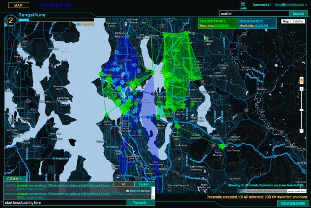
Ingress_Intel_Map_full-screen

Ingrees

In October 2015 Niantic Labs gathered $30 million investment from The Pokémon Company, Nintendo and Google and decided to spun out as an independent entity with the aim to make a new location-based game – Pokémon Go.

You know the rest of the story…

Say thanks for this article (0)
The community is supported by:
Become a sponsor
#Featured
#Business #Featured
Call for nominations: Global Top 100 Geospatial Companies 2025 Edition
Avatar for Muthukumar Kumar
Muthukumar Kumar 10.1.2024
AWESOME 1
#Business #Featured #People
Explore the unexplored with Felt: Meet Sam Hashemi, CEO of the online platform making mapping effortless for everyone
Nikita Marwaha Kraetzig 12.7.2023
AWESOME 2
#Business #Featured
Global Top 100 Geospatial Companies – 2024 Edition
Avatar for Muthukumar Kumar
Muthukumar Kumar 01.31.2024
AWESOME 10
Next article
#Business #Ideas

Verifly app lets you buy short-term drone insurance

Verifly App - Geoawesomeness

How to make sure that you drone flight is safe? You can rely on your skills or on the technology but there is always a risk that something will go wrong. When half a pound piece of plastic and metal falls down from a few hundred feet it can cause an accident. Drone owners are also more and more often accused of invading someone’s privacy. In both cases apart from the damage you may cause you can lose a lot of money.

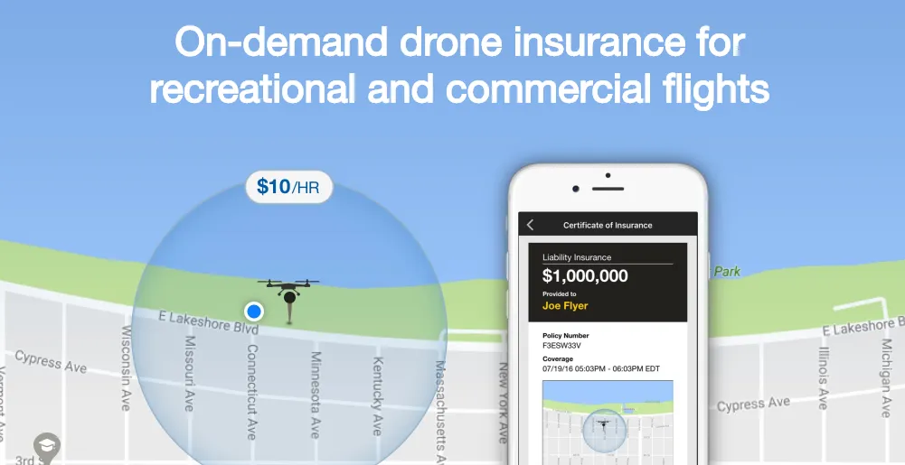
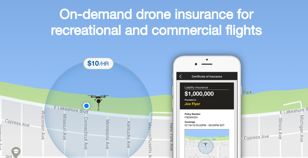
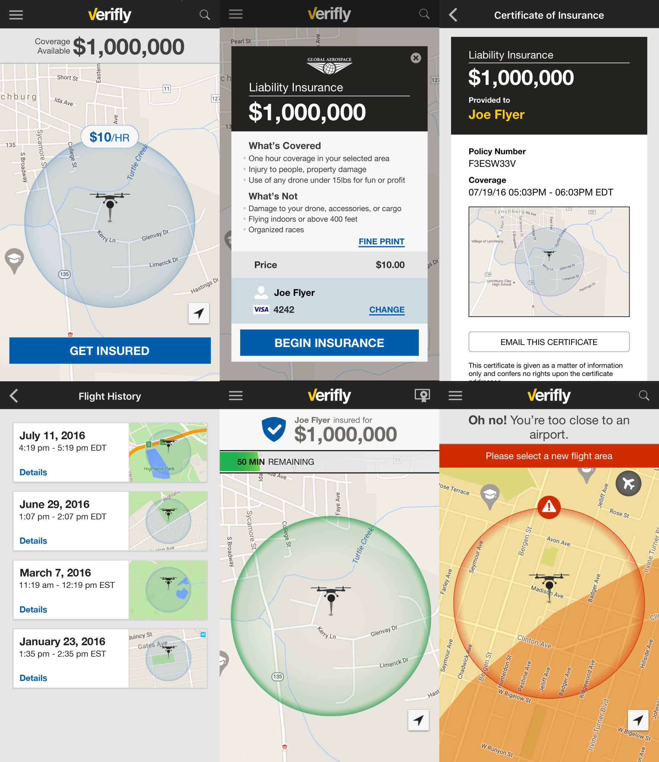
New York-based start-up Verifly decided to offer a solution for exactly that problem – on-demand short-term insurance. For a price starting at$10 users can get up to $1 million in liability coverage, and $10,000 for invasion of privacy coverage, for up to an hour.

The Verifly app draws a quarter-mile circle around user’s location, analyzes information from a various geospatial and weather databases, and shows the user their estimated risk. It then sets a price that depend on what risk factors are in the area like schools, stadiums, neighborhoods and other populated spaces.

VeriFly-app-Geoawesomeness

The Verifly app draws a quarter mile circle around user’s location, analyzes information from a various geospatial and weather databases, and shows the user their estimated risk. It then sets a price that depend on what risk factors are in the area like schools, stadiums, neighborhoods and other populated spaces. Everything can be bought via the app just before your flight.

Sounds awesome and with over half a million drones registered with the FAA since December 2015 it might be a profitable business.

Read on
Search