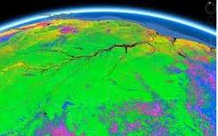
 This must really be a great data mining platform for Geo/Earth scientist, researchers and the general public for awesome geo-scientific queries and analysis. A great platform for change detection, map trends and quantity differences on the earth’s surface.
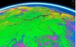
Courtesy of EarthEngine.org , Google Earth Engine brings together the world’s satellite imagery — trillions of scientific measurements dating back almost 40 years — and makes it available online with tools for scientists, independent researchers, and nations to mine this massive warehouse of data to detect changes, map trends and quantify differences on the Earth’s surface. Applications include: detecting deforestation, classifying land cover, estimating forest biomass and carbon, and mapping the world’s roadless areas.
Below are some Google Earth Engine featured gallery, explore and learn more about this awesome product. Also take a look at the product videos Or visit the Data Catalog to explore our archive of satellite imagery. Certain features (such as data download) are restricted to members of our trusted tester program.
We have precomputed a number of interesting datasets using the Earth Engine platform, below. Click on each to learn more and preview the data as a global time-lapse or as a layer in a Google Earth client.

Amazon Deforestation: Timelapse
Drying of the Aral Sea: Timelapse
Seasonal Earth Timelapse
Global Roadless Areas: 1 km buffer
Global Roadless Areas: 10 km buffer
Mexico percent tree cover
Water Mask of Central Africa
NDFI over the Amazon
Landsat 7 L1T Coverage
DRC Forest Cover Loss, 2000 to 2010


