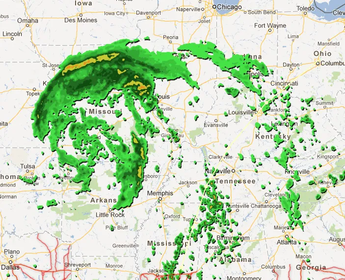
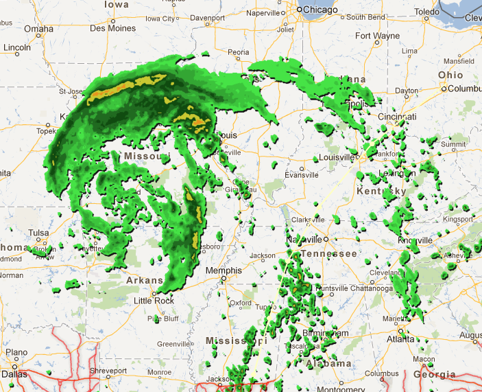
Hurricane Isaac affected the northern Gulf Coast of the United States, including the western Florida Panhandle, Alabama, Mississippi and Louisiana, as a tropical depression. Just before it Google launched great service with predicted moves of the hurricane as part of its Crisis Response project.
“When disaster strikes, people turn to the Internet for information,” explains Google’s Crisis Response project, an offshoot of the of the Google.org philanthropy arm, which aims to aid in times of need.
The team collaborated with the Red Cross, the Florida Division of Emergency Management, and various government and NGO partners to present emergency storm warnings, alerts of earthquakes and more, including active shelters and the forecast path of the storm. It also allows for user-generated content, should people in the area have photos, warnings and advice, or other relevant information.


