#Business

GIS Day Contest – GIS Cloud

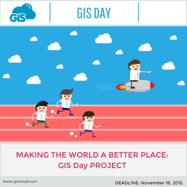
We have prepared a surprise for incoming Geo Awareness week (15. – 21. November): a GIS Day contest!

The idea is to stimulate enthusiasm for geography & GIS by creating an opportunity for anyone who wants to use maps for doing meaningful work in their local community or society in general. We will select the best project idea and help contestants with the project realization.

GIS day contest (Image Copyright: GIS Cloud)

GIS day contest (Image Copyright: GIS Cloud)

What do we offer?

Best project idea will be awarded with:

  • support in conducting the project idea (GIS Cloud apps for free, including storage and full user support)
  • project promotion
  • special surprise for the contestants after the project is finished

Who can apply?

Private citizens or Non-profit organizations. (Students, academic staff, activists, elementary and high school students, senior citizens…)

Examples of project ideas:

Note: You don’t have to worry about detailed project plan. We are rewarding an idea, not the fully elaborated project. GIS Cloud will provide an assistance with project elaboration and technical support for setting up the project.

Deadline for applications: GIS Day – November 18th, 2015 (00:00 in your timezone)
Results: November 20th, 2015

If you have any questions about GIS Day contest, contact us here.

How to apply?

Just fill in the form here.

Say thanks for this article (0)
The community is supported by:
Become a sponsor
#Business
#Business #Ideas
Urban Digital Twins in China: A Smart Gadget or a Decision Support Tool?
Nianhua Liu 03.28.2024
AWESOME 4
#Business #Fun #Ideas #Science
Next Generation Map Navigation: Is It Based on AR Smart Glasses?
Nianhua Liu 07.19.2024
AWESOME 2
#Business #Environment
Major milestone achieved towards building a green supply chain with the Supply Chain Data Partnership’s new global location register
Nikita Marwaha Kraetzig 12.8.2023
AWESOME 1
Next article
#People

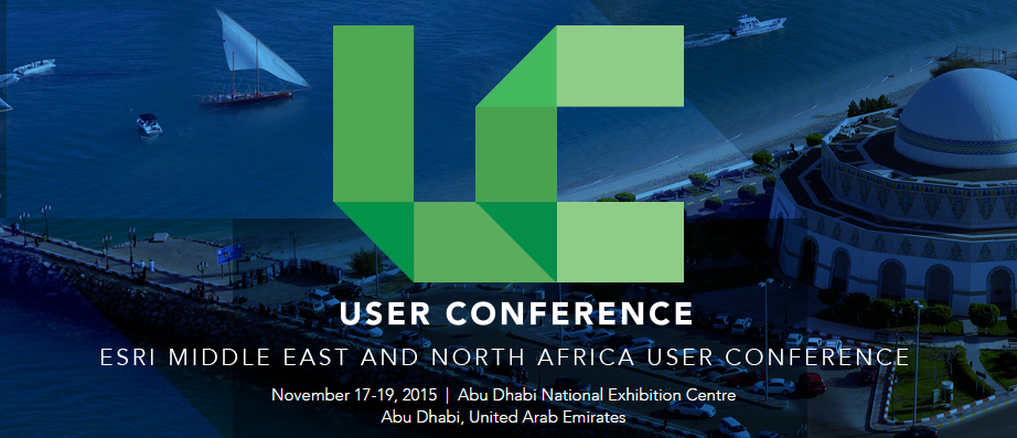
Join Esri User Conference in Abu Dhabi, Nov 17-19

Esri MENAUS conference

GIS celebration is coming to United Arab Emirates. The Esri Middle East and North Africa User Conference (MENAUC) is starting next week in Abu Dhabi. The event will bring the best of the annual Esri User Conference in San Diego to the UAE. If you happen to be around, don’t miss it. Especially as Geoawesomeness readers get 50% off!

The Esri UC will take place from November 17–19, featuring a variety of speakers who will share ideas and best practices for improving our world through maps. Before the Esri UC kicks off, a day of Esri workshops will take place on the November 16. These workshops will focus on the new ArcGIS Pro for professionals and Web AppBuilder environment which enables developers to create apps easier and faster.

The November 17 will begin from a keynote by Jack Dangermond himself. Anyone interested in mapping or GIS should, once in their life, to attend the opening by Jack Dangermond – a man who is solely responsible for how we interact with geographic information today, and how we will use it in the future. Jack commented before the event:

“We have millions of users around the globe who do amazing things with our technology every day. The Middle East and North Africa User Conference is our opportunity to recognize their important work, learn from them, and empower them with even better tools and techniques to continue their mission.”

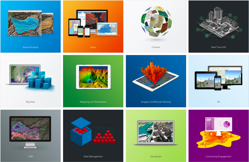
ESRI---Portfolio---Geoawesomeness

After the opening speech a series of great presentations will discuss topics related to business, education, national security, architecture, engineering, construction and 3D mapping among others. The event will particularly emphasize use of geospatial information in a public sector, as the Abu Dhabi eGovernment won the 2015 Esri “Smart Government Award” for its efforts in implementing spatial data infrastructure (SDI) and use of geospatial information across a wide range of government entities in the emirate. You can find the detailed agenda here. The event has also attracted 34 exhibitors who will present their products or services.

This event is targeted to Middle East and North African geospatial communities. Everyone will benefit from attending: new users, GIS analysts and professionals, developers, decision makers and business owners. The event will bring a unique opportunity to connect with Esri product specialists and GIS professionals, both regional and international. Moreover Esri will offer in-depth training and one-on-one sessions with the company’s top engineers.

It’s definitely the geospatial event of the year in the region. Don’t wait. Register today!

Read on
Search