GIS Cloud releases official Partners Program
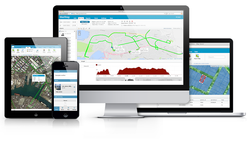
 GIS Cloud is opening 2015 by taking the “Simple GIS” idea even further and announcing the release of its Partners Program. The company is looking for partners worldwide that are ready to resell, integrate and customize GIS Cloud into their local markets and industries.
Register for a free webinar on Wednesday, January 21st, where the Partners Program will be discussed in detail.
BENEFITS OF PARTNERING WITH GIS CLOUD
Apps and maps need to be easy and simple with an emphasis on collaboration and high user experience, so that any role in any organization can get started intuitively – from field workforce to management. It is time to enable everybody in an organization to access and contribute to GIS and the Cloud can provide means to achieve this on a large scale.
- “Simple GIS” wins
- delight your clients with user friendly apps
- get access to one of the best and fastest cloud mapping platforms out there
- scalable and predictable business model – no hidden costs
- deploy to small and large customers in hours not months
- easily integrate with any existing environment (legacy GIS)
- take advantage of the GIS Cloud distribution channel
- direct access to the GIS Cloud core team and help shape the new era of GIS
- public and private (on premise) installations
This is an opportunity to greatly increase your market competitiveness, while GIS Cloud guides you through the process of becoming a partner every step of the way.
If you and your organization are interested in working with GIS Cloud and achieving mutual goals, feel free to contact the company at info@giscloud.com.


