Can Geography and Maps create (false) perceptions? : Cartographers for Social Equality
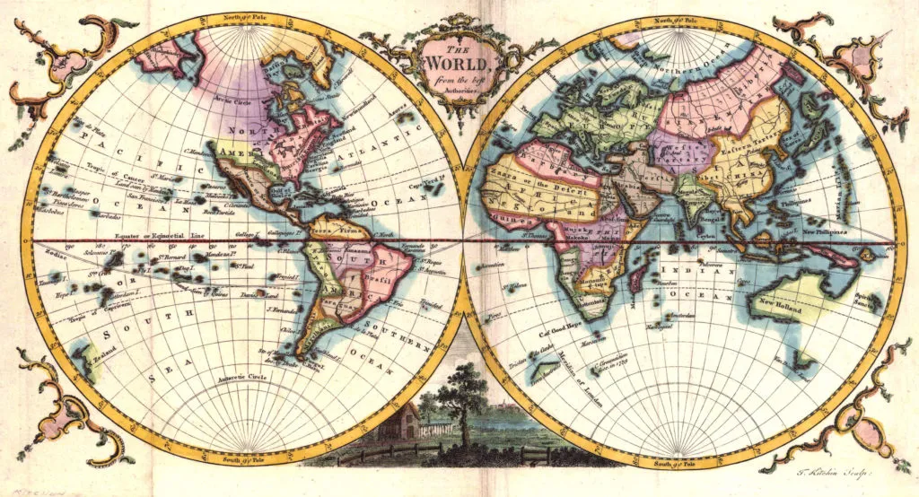
 Maps have been our favourite form of representing information that is geographic in nature. With the boom of mobile technology and internet, the average person uses maps almost everyday.
But can maps be used to mislead and create false perceptions? Maps are a very powerful media that can create perceptions and the unfortunate part happens to be that they can indeed create false perceptions when they are used in an improper manner.
Hmm, sounds possible right? Well ever wondered to what extent maps can create our impression about the world?
Surprise! Surprise! Yup that’s true. For the last 500 years, our impression about the world has been based on one person’s interests and we have not really made much of an attempt to correct the “false” perception.
Can we create perfect map?
Well unfortunately we cannot! Maps happen to be 2 dimensional representations of an almost spherical planet that we call home. It is mathematically impossible to transform from 3-D to 2-D without inducing some sort of errors or the other. I can go on rambling about it for another couple of hours 😉 But its more interesting to read about it from a cartographer than a GPS engineer 🙂 If you are more interested in understanding the different map projections and transformations, have a read. What sort of errors are we talking about in these projections? Well, errors in representing relative areas for one, distances and others. Dean Howell wrote an interesting article elaborating on it. Here’s the link
But Still…
Maps may not be perfect due to their inherent mathematical limitations but it is always possible to ensure that as a cartographer we are using the right projection for the right (information) visualization/representation. It is very important that we educate our audience about how maps can be used to mislead as well.
Maps are like any other form of information. They are misleading if the intention is to do so. Cartographers for Social Equality is a wonderful attempt to ensure that we understand the responsibility of being a cartographer. Remember we have the power to create perceptions! With power comes responsibility!
Source: Upworthy.com


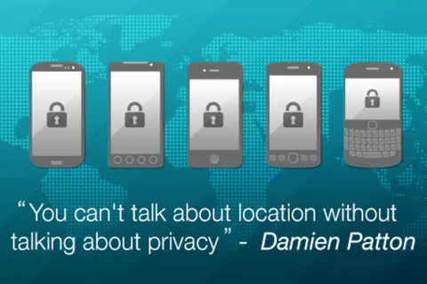
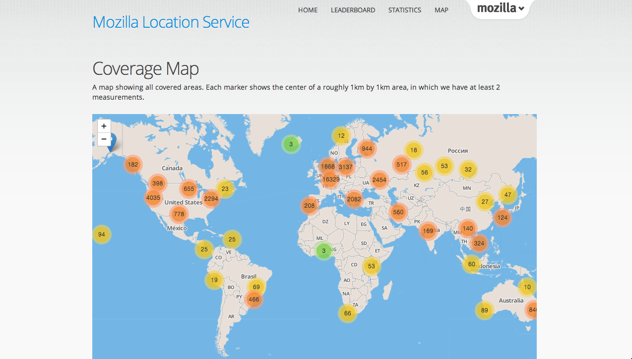 Mozilla location service is an open source, crowd-sourced initiative to provide geolocation lookups based on publicly observable information like Cell phone tower and Wi-Fi access points. Mozilla is collecting data from users who are contributing using the app,