
Welcome to the 9th GeoawesomeQuiz! This week we promise it won’t be easy. Remember to take quizzes from the previous weeks. Have fun!
[mlw_quizmaster quiz=9]


#Fun

Next article

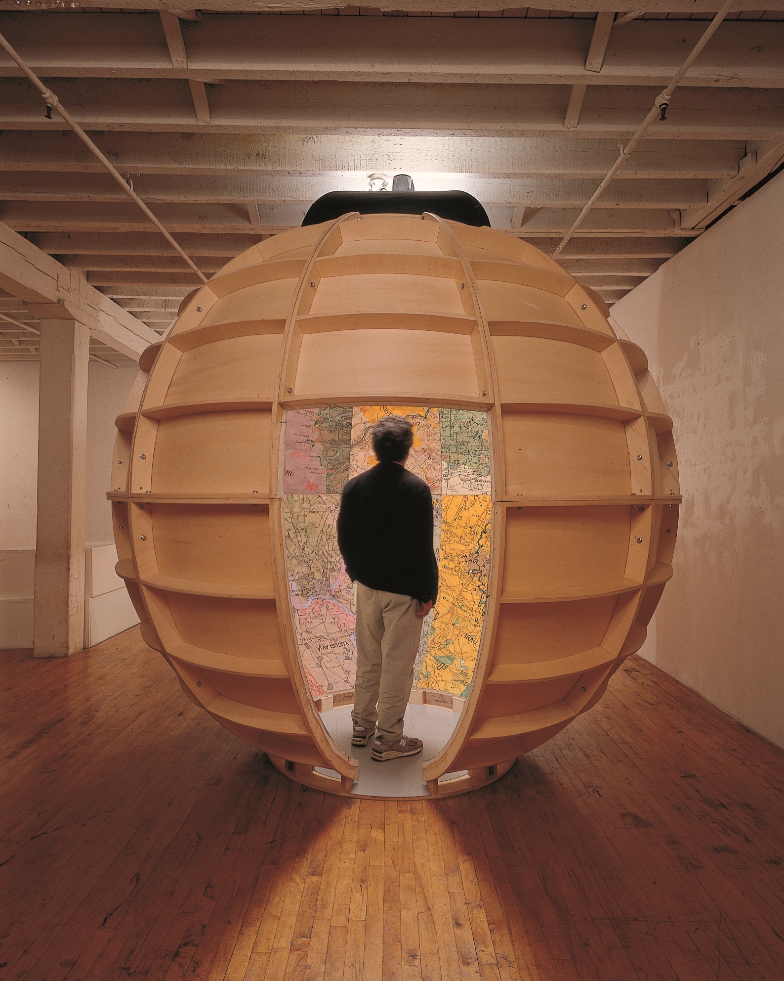 If you happened to be in New York between February 26 and May 3, 2015 there is an event which every GeoGeek has to visit. Mapping Brooklyn exhibition will gather the pieces of contemporary artists working with historic maps, that can represent on the one hand, such practical matters as way finding, property ownership, population shifts, and war strategy, and on other the metaphorical, psychological, and personal aspects of local Brooklyn life.
The exhibition will be collaboratively presented at the galleries of BRIC House and the Brooklyn Historical Society. Both galleries are focusing on a similar theme – the dialogue between the historic and contemporary maps which shows the desire to explore, chart, and analyze local spaces and highlights the innovative ways that contemporary artists use mapping, cartography, and exploration, to reveal data, ideas, and emotions.
Sounds like an event one should visit.

