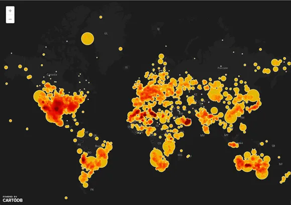
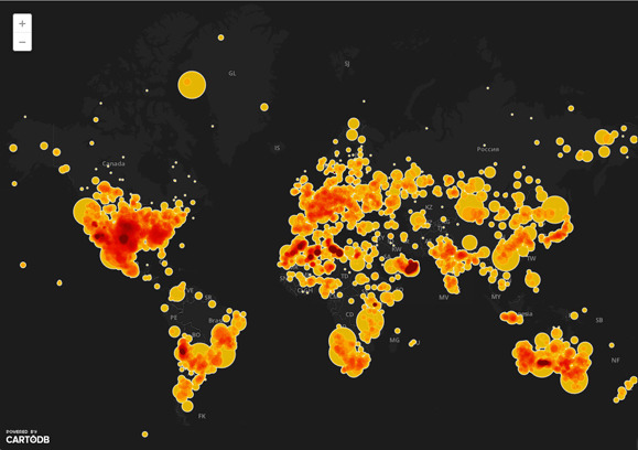
Geo-Tagging has been used in a lot of cool and fun ways in the past. Most of us would have geotagged friends on Facebook and other apps sometime or the other.
Imagine using geotagging to fight corruption in government projects in remote places. Innovative indeed!
The department of Agriculture in Philippines is now geotagging pictures and videos of their projects to help fight corruption. Well think about it – the idea is something very simple, very innovative.
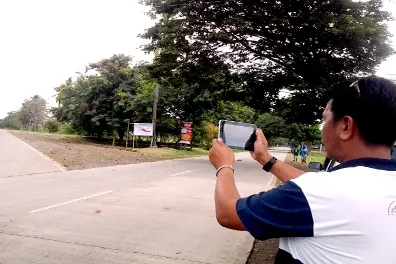
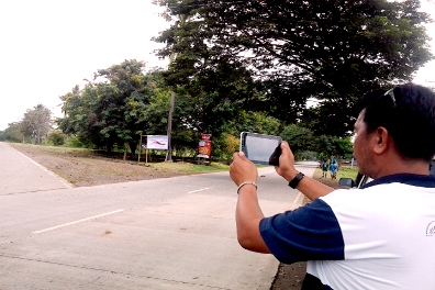
The employees are armed with a GPS-enabled phone with internet connection and the application involves geotagging or attaching location information to pictures and videos and then uploading them to web based applications like Google which offer geotagging services for free.
This way the citizens are more aware of what is going on in their neighborhood and it ensures greater transparency in the execution of government projects.
Now who would have thought that geotagging can help fight corruption and improve project management. Employees from the Department of Agriculture and local government in the Philippines didn’t believe that either. When Engineer Arnel de Mesa, Department of Agriculture first broached the idea, he heard the typically cynical “This too shall pass” comment.
Today, De Mesa is the deputy program director for the Second Mindanao Rural Development Program or MRDP2 being implemented by the Department of Agriculture. Through the involvement of local governments and rural communities, the project has been able to raise the average household income of beneficiaries by 16% from 2007 to 2011. A success that augurs well for the future.
Nowadays, de Mesa’s team is leading efforts to train their co-workers within the agency and outside the department on the use of geo-tagging for project management. Their innovative use of the technology is the first among government agencies in the Philippines, and among the pioneers in the region.
“The beauty of geo-tagging is that one does not have to be an engineer to learn it. Anyone can learn the ropes” – Arnel de Mesa!
Well, I cant agree more with you Engg. Mesa!!
Source: World Bank


