From Digital Footprints to Urban Intelligence: Leveraging Public GPS Traces
In our increasingly connected world, public GPS traces are a powerful tool for understanding human movement and geographical interactions. These digital footprints offer a window into the patterns of mobility that shape our world.
What are Public GPS Traces?
Public GPS traces are anonymized datasets that consist of geographical coordinates collected from devices equipped with GPS technology. These traces represent the movement of individuals or objects over time, providing insights into:
- Urban mobility patterns
- Traffic flow dynamics
- Geographic usage trends
- Popular routes and destinations
The beauty of public GPS traces lies in their collaborative nature.
Many services encourage users to share their GPS data, creating a vast, crowd-sourced repository of movement information that fuels analytical projects and enhances our understanding of human geography.
Harnessing the Power of Collective Data
Examples of Services Using Public GPS Traces
Several platforms have recognized the potential of public GPS and integrated them into their services:
OpenStreetMap (OSM)
OSM is a free, editable map of the world that is a collaborative project and testiment to the power of collaborative mapping. Using OSM, you’re able to:
- Verify existing map information
- Identify and add missing paths of roads
- Enhance the accuracy and detail of global cartography
By allowing users to upload their GPS traces, OSM continually refines its maps, ensuring they reflect the most up-to-date geographical realities.
These traces are crucial for the accuracy and expansion of OSM’s detailed global map.
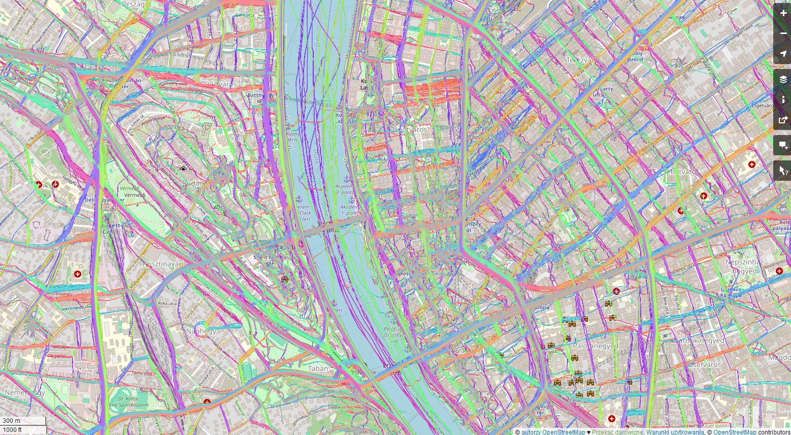
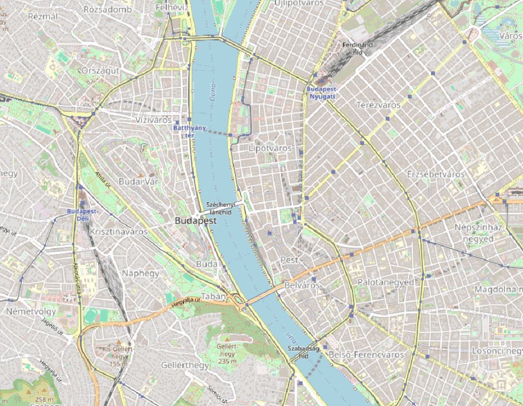
Public GPS traces in Budapest. Source: OpenStreetMap
Strava
Strava, a popular fitness tracking platform, is popular among athletes, particularly runners and cyclists. Through its Strava Metro program, the company aggregates and anonymizes GPS traces from millions of activities to:
- Identify popular cycling and running routes
- Assist in urban infrastructure planning
- Provide insights for public health initiatives
Strava also uses aggregated public GPS data to generate heatmaps showing popular routes, aiding new users in finding recommended paths for their activities.
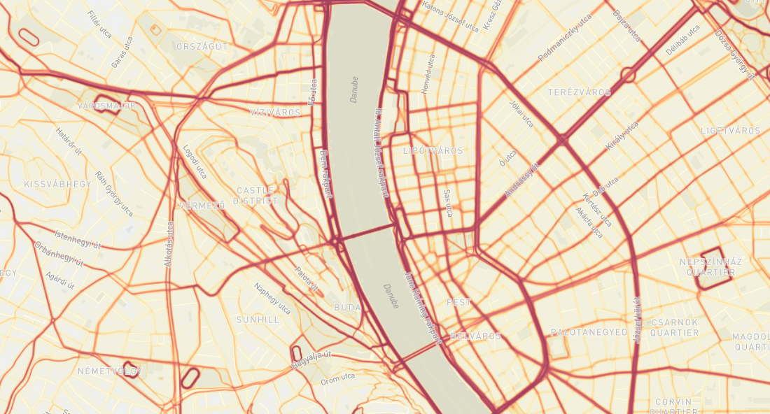
Public GPS traces in Budapest. Source: Strava
These examples illustrate how public GPS traces, when harnessed effectively, can bridge the gap between individual movements and collective urban intelligence, paving the way for smarter, more responsive cities.
Case Study: Detecting Population Density in Cities
A fascinating application of public GPS traces is studying urban population density and movement, particularly in cities like Budapest, Kraków, and Berlin. This case study involves several steps, utilizing GPS data to generate insights into how locals and tourists frequent areas of these cities.
Data Collection
The initial step involved downloading GPS points’ locations from Budapest, Kraków, and Berlin using the API provided by OpenStreetMap. This API allows for the extraction of GPS traces within specified geographical boundaries, making it possible to gather comprehensive data on movements within these cities. The most recent 500,000 points were downloaded to perform trends in visiting places in the mentioned cities. This data, representing both locals and tourists, offered a unique opportunity to analyze real-time urban dynamics.
Data Analysis and Visualization
Using GIS software, the collected data points were first visualized directly. This initial visualization aimed to identify which streets and areas had the highest rates of visitors. However, directly plotting the points on a map proved to be ineffective; the sheer volume of data points made the tool slow and the resulting visuals cluttered and difficult to interpret.
To resolve this, a more refined approach was taken using a Heatmap (Kernel Density Estimation) tool within the GIS software. This method processes the geographical data points to produce a smooth gradient heatmap, indicating areas of high concentration without the clutter of individual data points. This visualization was not only faster but also provided a clearer, more useful representation of traffic and population density.
Key Findings and Implications
The heatmaps revealed several insights:
- High-Traffic Hotspots: Our analysis identified major hotspots, key areas in each city with consistently high foot traffic
- Tourist vs Local Patterns: By comparing data patterns, we can distinguish between areas frequented by tourists and those popular among locals
- Temporal Variations: Through heatmaps, we can see how population density fluctuates throughout the day and week, offering insights into urban rhythms
Case study – Budapest: OSM visualization, GPS points, Heatmap (based on points), Heatmap (Kernel Density Estimation algorithm)
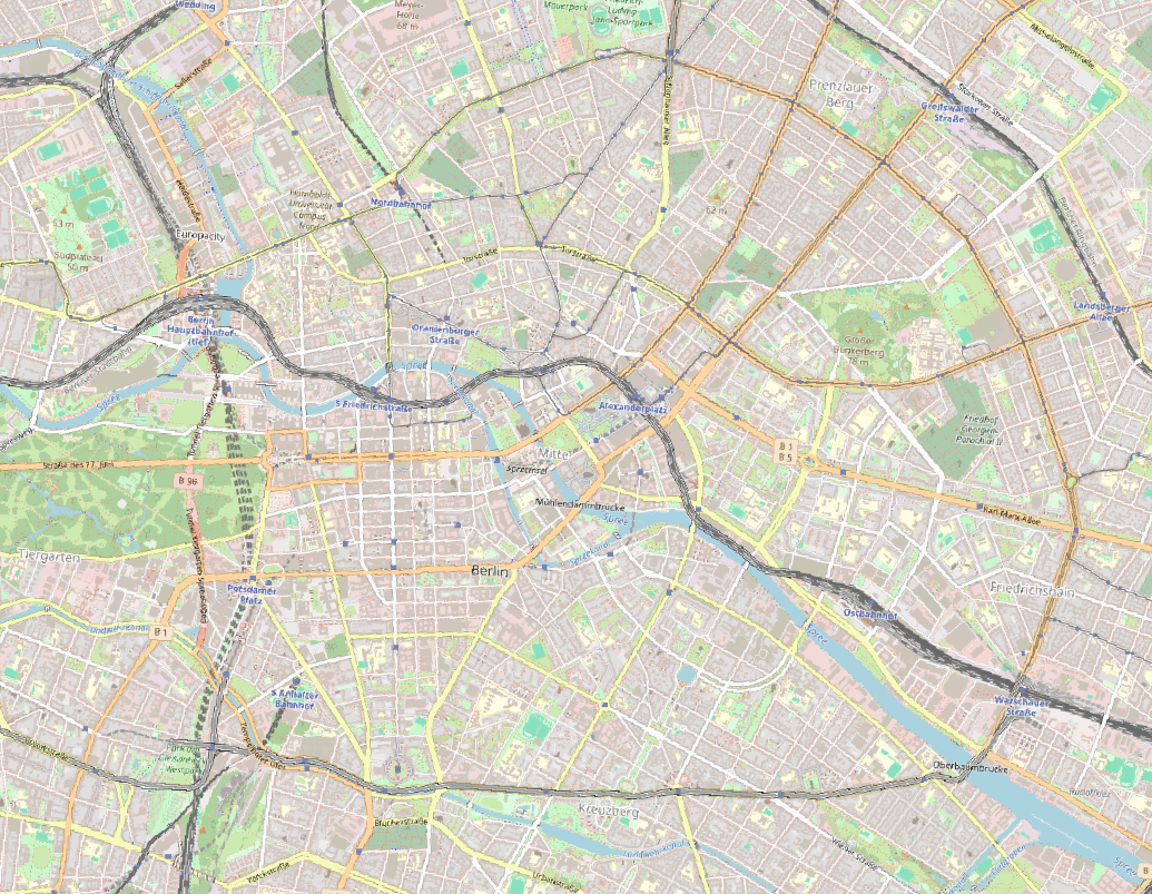
Case study – Berlin: OSM visualization, GPS points, Heatmap (based on points), Heatmap (Kernel Density Estimation algorithm)
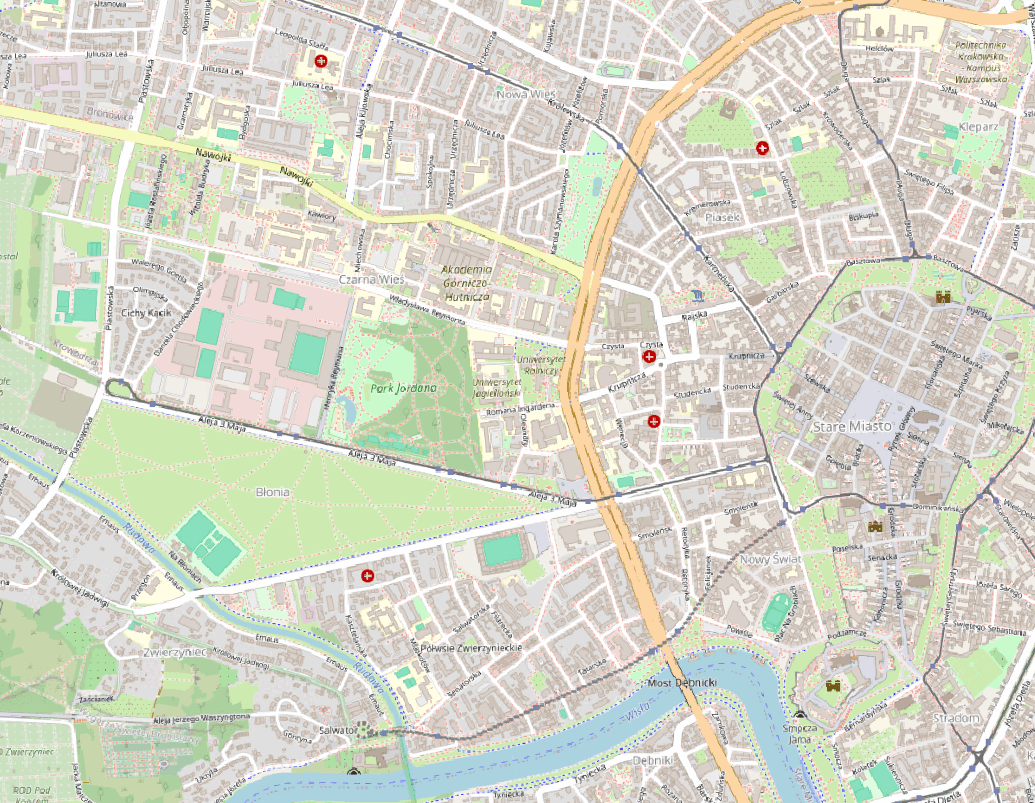
Case study – Kraków: OSM visualization, GPS points, Heatmap (based on points), Heatmap (Kernel Density Estimation algorithm)
Applications of Heatmaps in Various Fields
Heatmaps generated from public GPS traces find utility across multiple domains:
- Urban Planning: Planners use heatmaps to identify heavily trafficked areas that might benefit from infrastructural improvements such as wider sidewalks, more crosswalks, or enhanced public transportation services.
- Retail Strategy: Retailers can analyze heatmaps to choose store locations based on areas with high pedestrian traffic, optimizing footfall and potential sales.
- Event Management: During large events, heatmaps of attendee movements can help in managing crowds more efficiently and in designing better layouts for future events
- Environmental Impact Studies: Environmental researchers use GPS data to understand the impact of human activity on natural reserves and parks, helping to manage and protect these areas.
- Transportation Engineering: Traffic patterns derived from GPS data help in designing better road networks, potentially reducing congestion and enhancing safety.
The Power of Public GPS Traces
Public GPS traces offer a treasure trove of data that can be leveraged in plenty of ways. From improving city layouts through informed urban planning to aiding businesses in making better location-based decisions, the applications are vast.
This vast repository of geospatial data is revolutionizing our approach to urban studies, business strategies, and public services.
As GPS technology becomes even more pervasive and the quality of data improves, the future possibilities for utilizing public GPS traces in professional and academic studies will undoubtedly expand. The potential of public GPS traces in shaping our understanding of urban dynamics is immense.
As we harness the power of public GPS traces, it’s crucial to address privacy concerns and ensure the ethical use of data. Striking a balance between data utilization and individual privacy will be key to the sustainable and responsible use of this technology.
Did you like the article? Read more and subscribe to our monthly newsletter!
#Contributing Writers


Next article

Maps Make Magic. Mappers Make Maps.
Is there an event where awesome mappers come together to create impactful maps? Absolutely—it’s called Mapathon!
On July 22, YouthMappers at TU Munich, in collaboration with Geoawesome, German Red Cross, and Runder Tisch E.V., organized a Mapathon event.
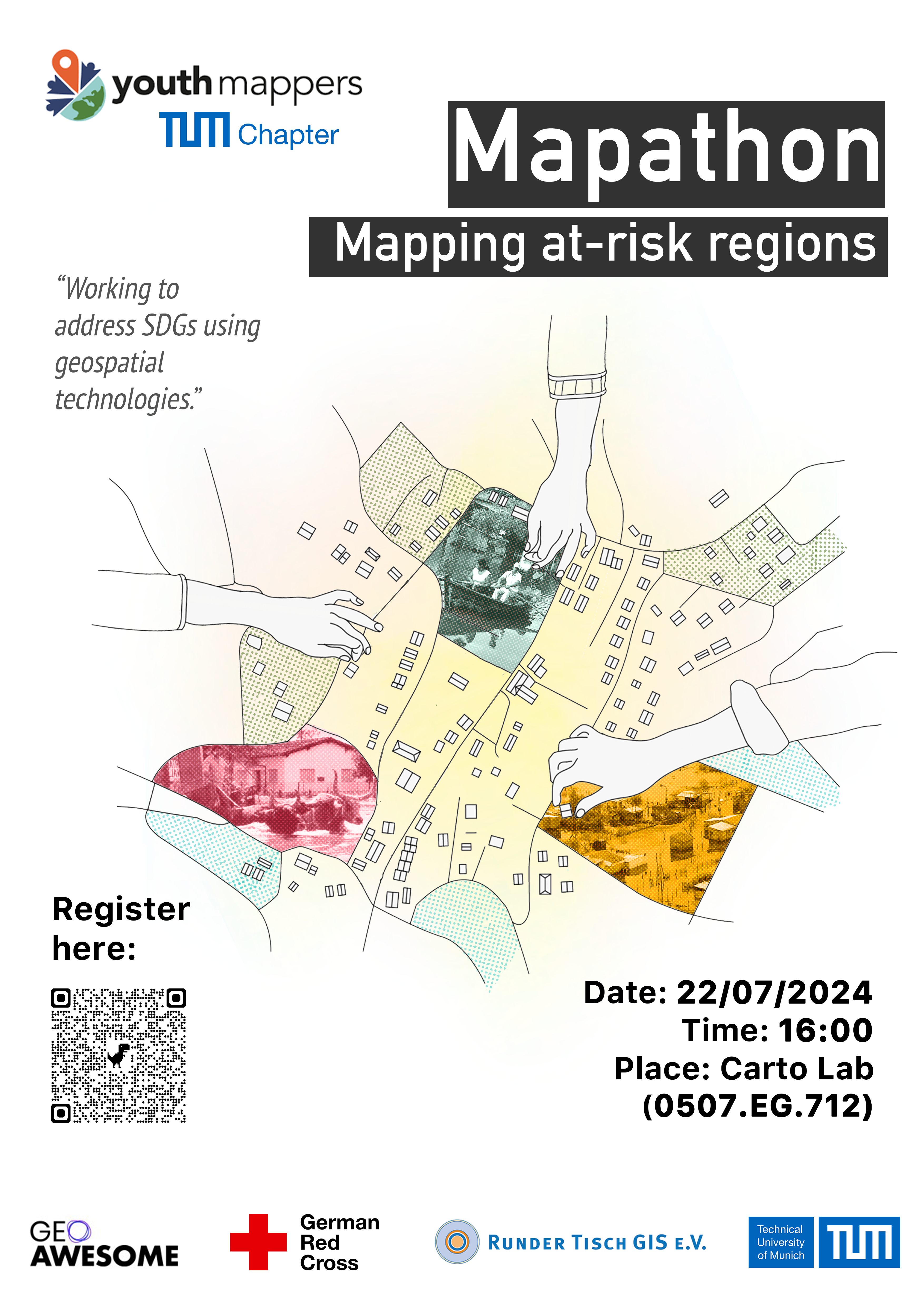
What Is Mapathon?
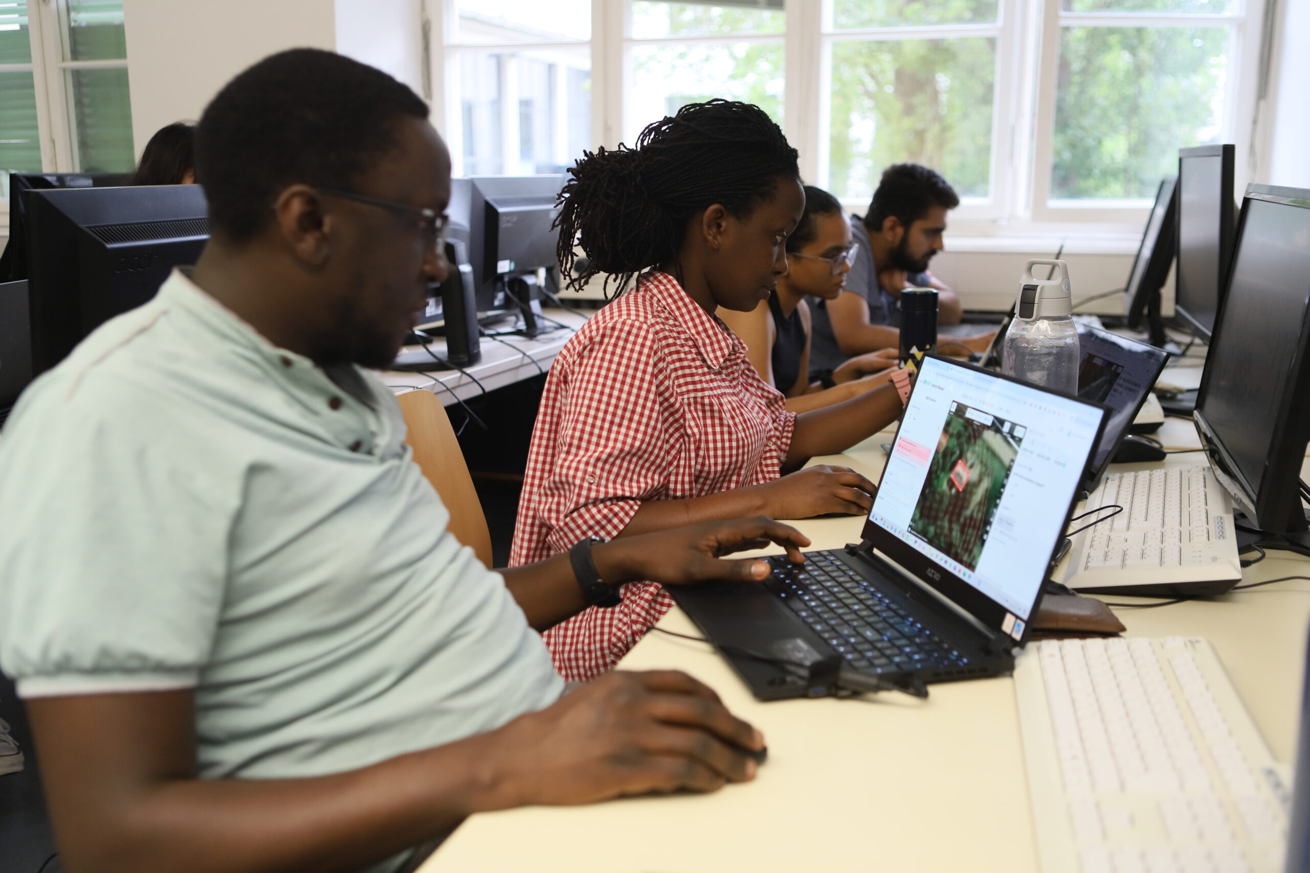
A Mapathon is a collaborative event where volunteers come together to map areas using satellite imagery, contributing to OpenStreetMap (OSM). These events can take place globally, with participants using a browser-based tool to map features like buildings and roads. This data helps local and international decision-makers respond more effectively to crises.
Up-to-date maps are essential for the success of many humanitarian initiatives, especially in disaster response. Through platforms like HOT, volunteers can significantly impact healthcare delivery and other services in affected communities by contributing their time to mapathon events.
Mapathons are an excellent way to build a community of mappers and offer a great learning environment where new mappers can learn from experienced ones while contributing to a common goal. Tasks are divided into smaller sections for easier management, and experienced volunteers validate the work to ensure quality. Organized by groups and individuals worldwide, Mapathons enable volunteers to create critical data for communities in need.
For example, we are from the YouthMappers at TU Munich chapter. YouthMappers is a global network of more than 5,000 university student mappers organized in 411 campus chapters across 78 countries. These student-led chapters are working to address SDGs using geospatial technologies and multi-national collaboration.
If you want to know more about OSM, HOT, YouthMappers, and Missing Maps, please read our previous article in Geoawesome: A Beginner’s Guide to GeoHumanitarian Mapping Organizations.
Why We Organize a Mapathon?
YouthMappers at TU Munich was founded at the end of 2022.
In early 2023, a devastating earthquake struck Turkey and Syria. During this crisis, we issued a call for mappers to join a mapping campaign. However, we encountered a significant challenge: many students wanted to help but lacked the necessary mapping skills and knowledge of OSM to contribute effectively.
This realization became the driving force behind our decision to organize a Mapathon at TU Munich. At the beginning of 2024, we three like-minded board members, Nianhua, Lia, and Yao, decided to host a Mapathon. After months of meticulous planning, we set out to make this Mapathon a reality.
One of our board members, Lia, is from Paraguay, where many residents face the risk of natural disasters, such as floods, every year. Our friends from YouthMappers UNA told us that OSM is crucial to their work. However, OSM is incomplete in many rural areas. To address this, we decided to map several villages near rivers in Paraguay and set up a TeachOSM tasking manager. We are grateful for the invaluable support from Adele Birkenes and Marcela Zeballos of YouthMappers in this process.
Since our target group is beginners in OSM, we aim to empower students with the basic skills needed to contribute effectively to OSM, helping communities in need and fostering a strong, motivated mapping group at TU Munich.
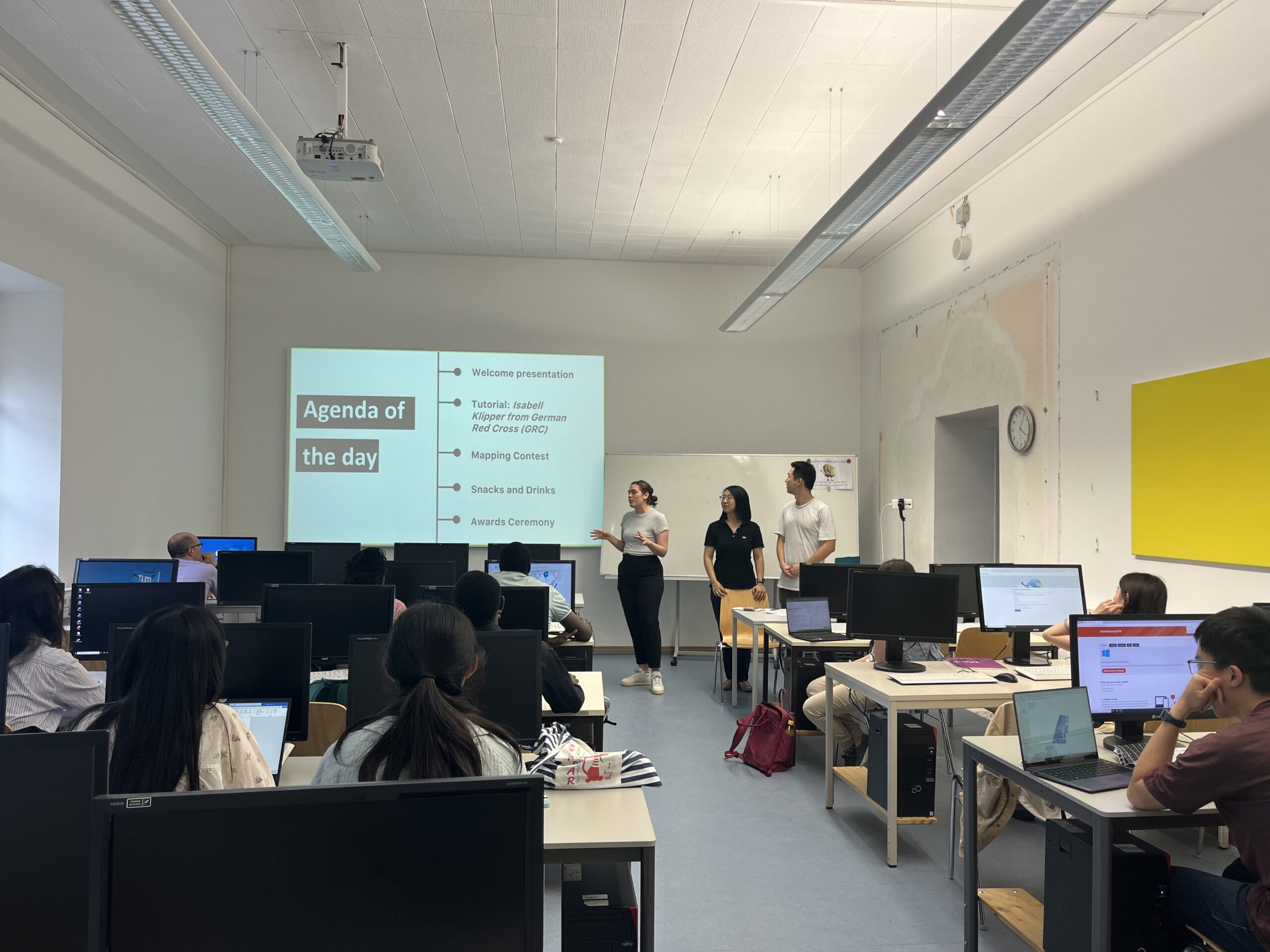
Awesome Mappers, Let’s Map!
The event kicked off with an introduction by our host, Lia, who presented our team, YouthMappers at TU Munich.
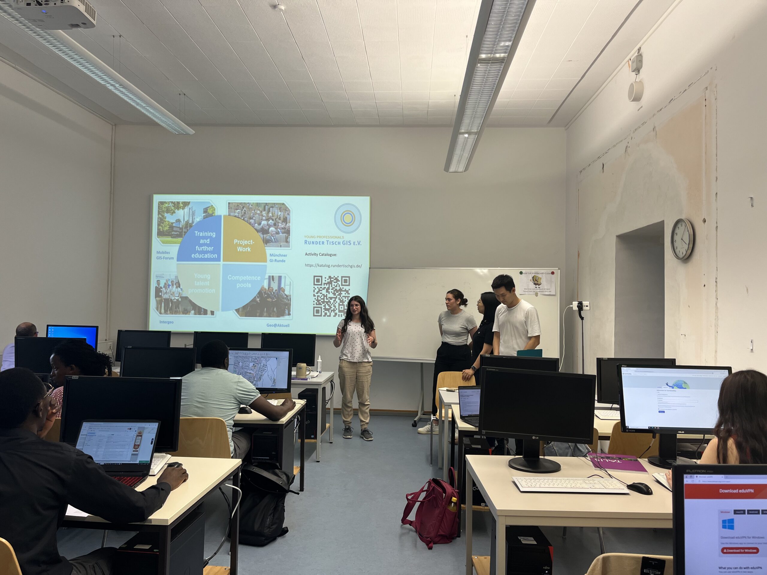
Leonie Engemann from Runder Tisch GIS e. V. also gave a brief introduction, explaining that Runder Tisch GIS e.V. is one of the largest volunteer-organized networks on geoinformation in Germany. They organize numerous events such as Münchner GI-Runde, Mobiles GIS-Forum, and 3D Forum Lindau. They also have a Young Professionals group that welcomes all students to join.
Of course, Geoawesome was introduced as well, capturing the students’ interest with the latest industry information.
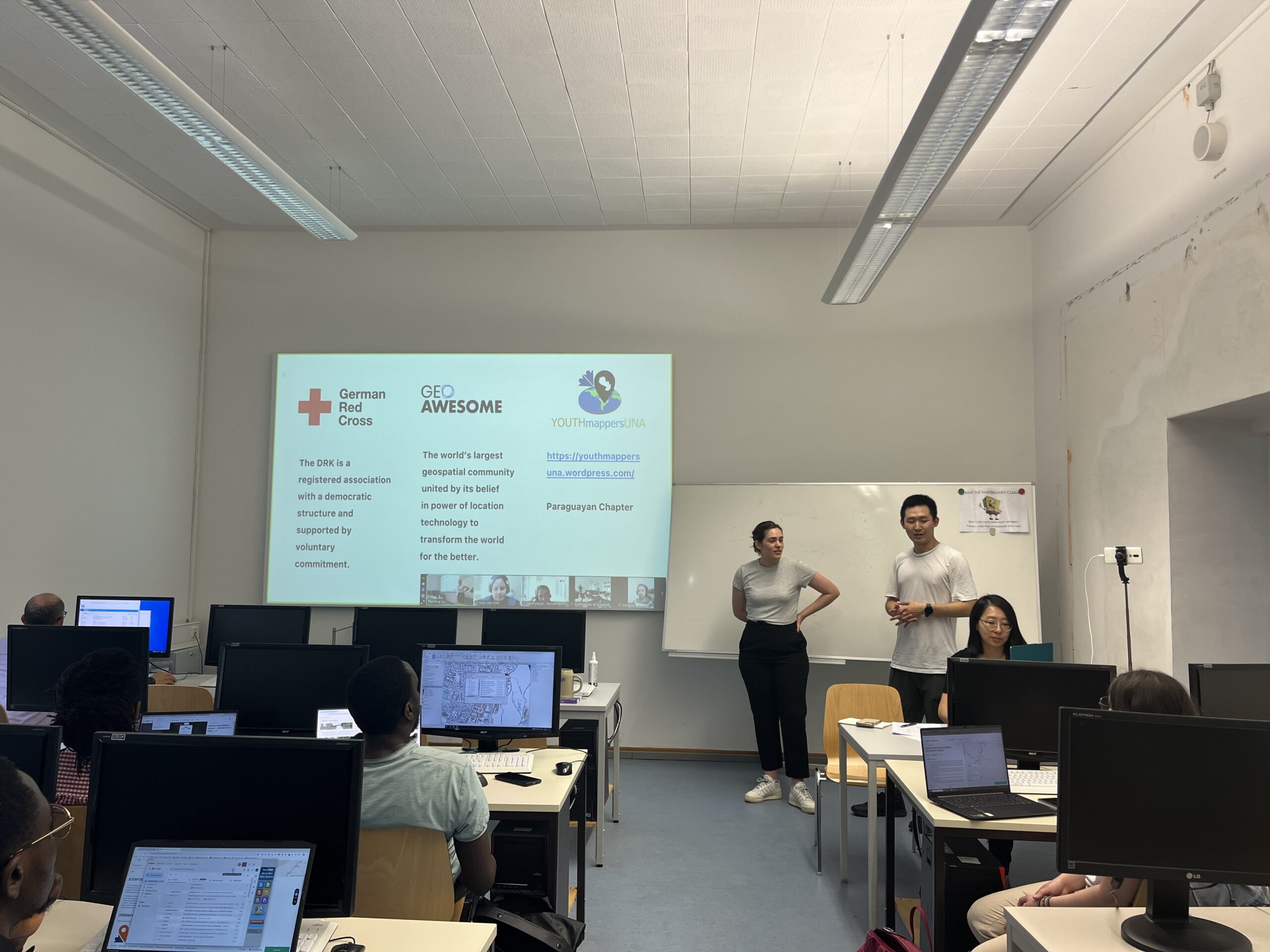
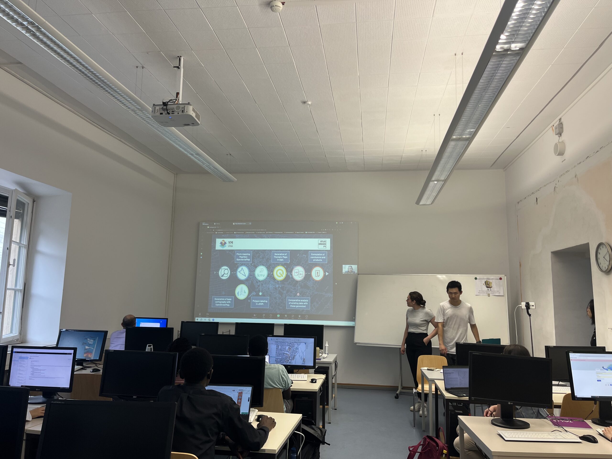
Our partners, Paula Villar and Jose Arce from YouthMappers at the National University of Asunción, provided an introduction to the YouthMappers Global Network, sharing how they benefit from it and how they use OSM.
YouthMappers UNA, founded in 2021 at the National University of Asunción (UNA), is based at the Research Development and Innovation Center (CIDi) within the Faculty of Architecture, Design, and Arts.
The chapter has been involved in significant projects, including the Urban Atlas Paraguay (AUPy) project, which addresses the lack of geospatial data in Paraguay, and training sessions at various workshops. Their work includes generating base cartography with OpenStreetMap, conducting photomapping, and creating thematic maps, ultimately supporting urban planning and disaster response efforts in Paraguay.
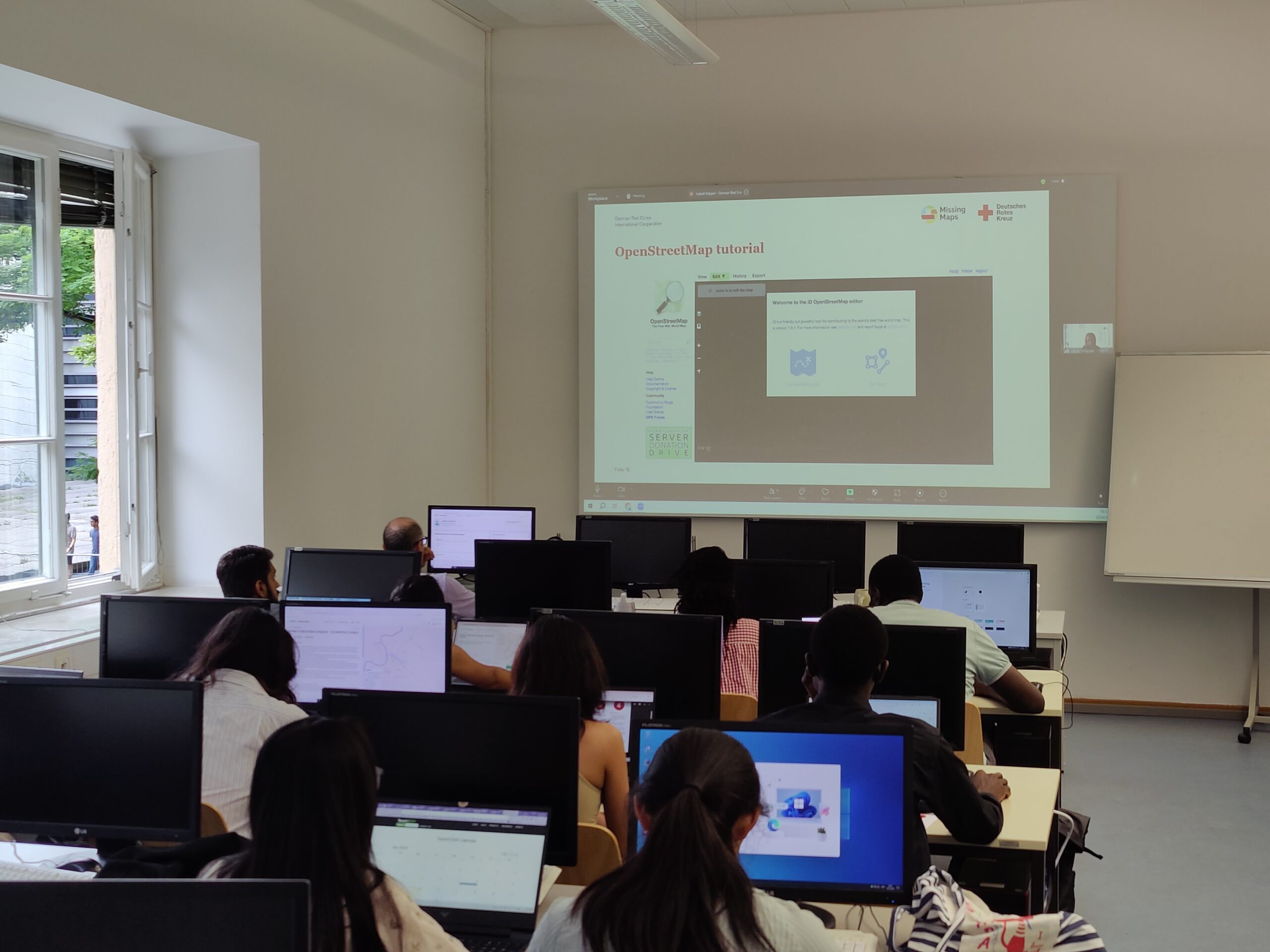
Following the introductions, we had an online keynote and tutorial from Isabell Klipper, the Information Management and GIS Specialist from the German Red Cross (GRC).
Isabell introduced the GRC and its use of OSM, highlighting how millions of people benefit from their work. GRC leverages OSM through the Missing Maps project to enhance disaster preparedness and proactive assistance, which engage volunteers in mapping critical areas for disaster risk reduction and Forecast-based Financing projects. These efforts support effective emergency relief and disaster prevention, thereby reducing vulnerabilities and strengthening resilience.
She also provided a tutorial on essential skills for the Mapathon, including creating an OSM account, mapping in the OSM ID Editor on the TeachOSM Tasking Manager, understanding the HOT and its importance, and how to map buildings.
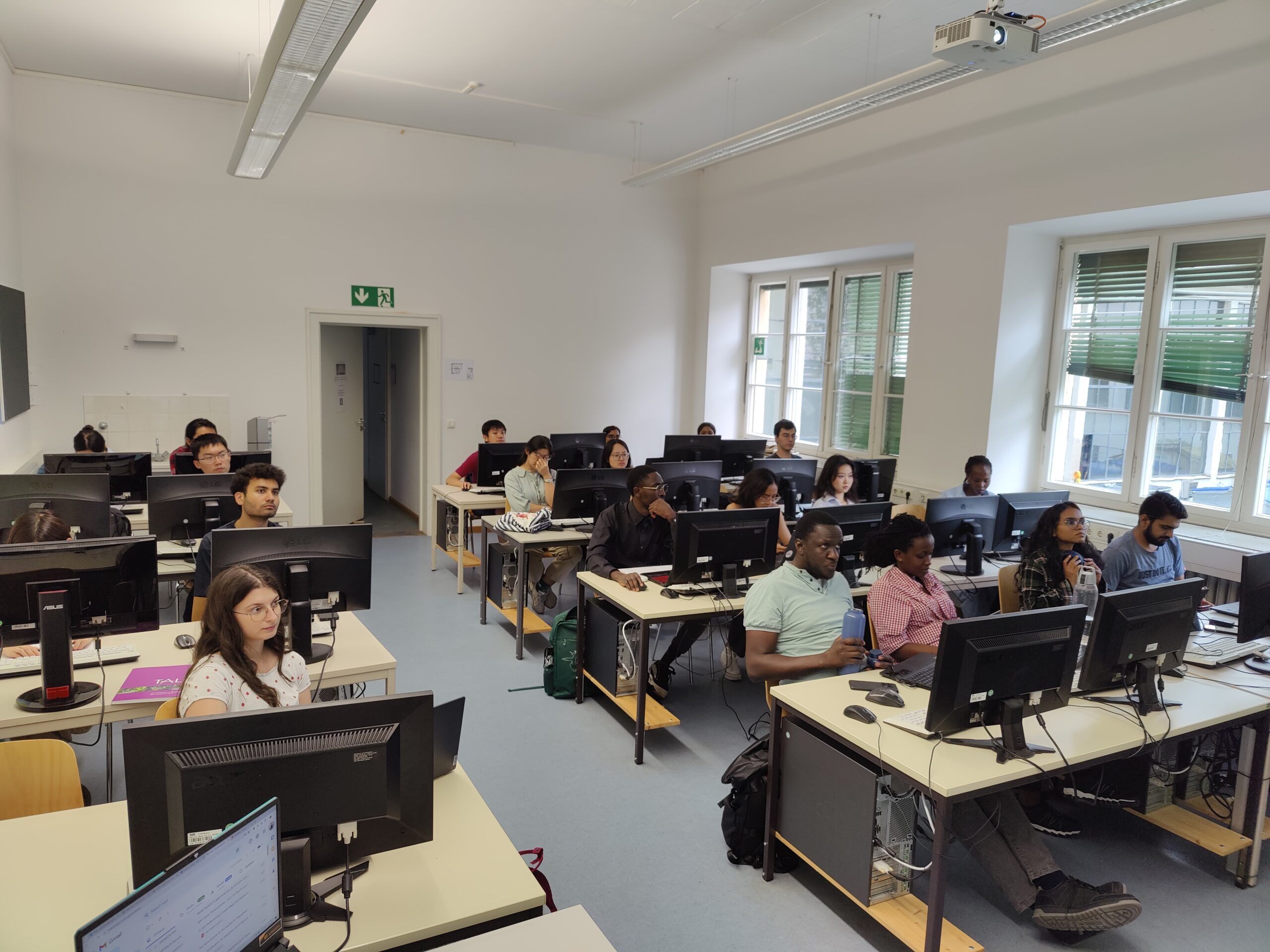
After the keynote session, we held a Mapping Contest. The participants were highly motivated, resulting in 1,312 total map edits and 1,198 buildings mapped by 25 contributors (21 on-site). What an amazing achievement!

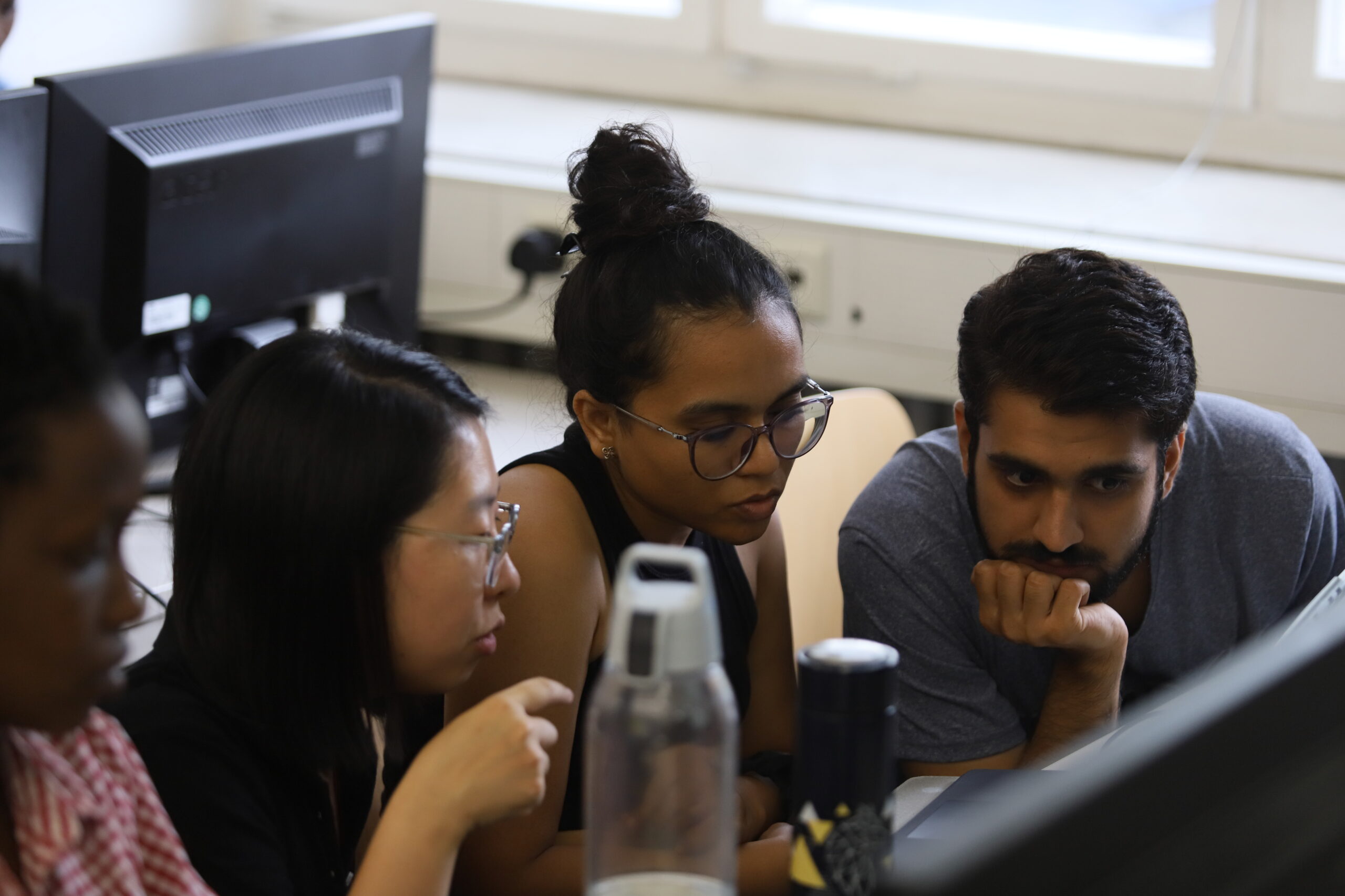

Following the mapping contest, we took a short break, allowing participants to get to know each other and enjoy snacks and drinks sponsored by Runder Tisch GIS e. V.

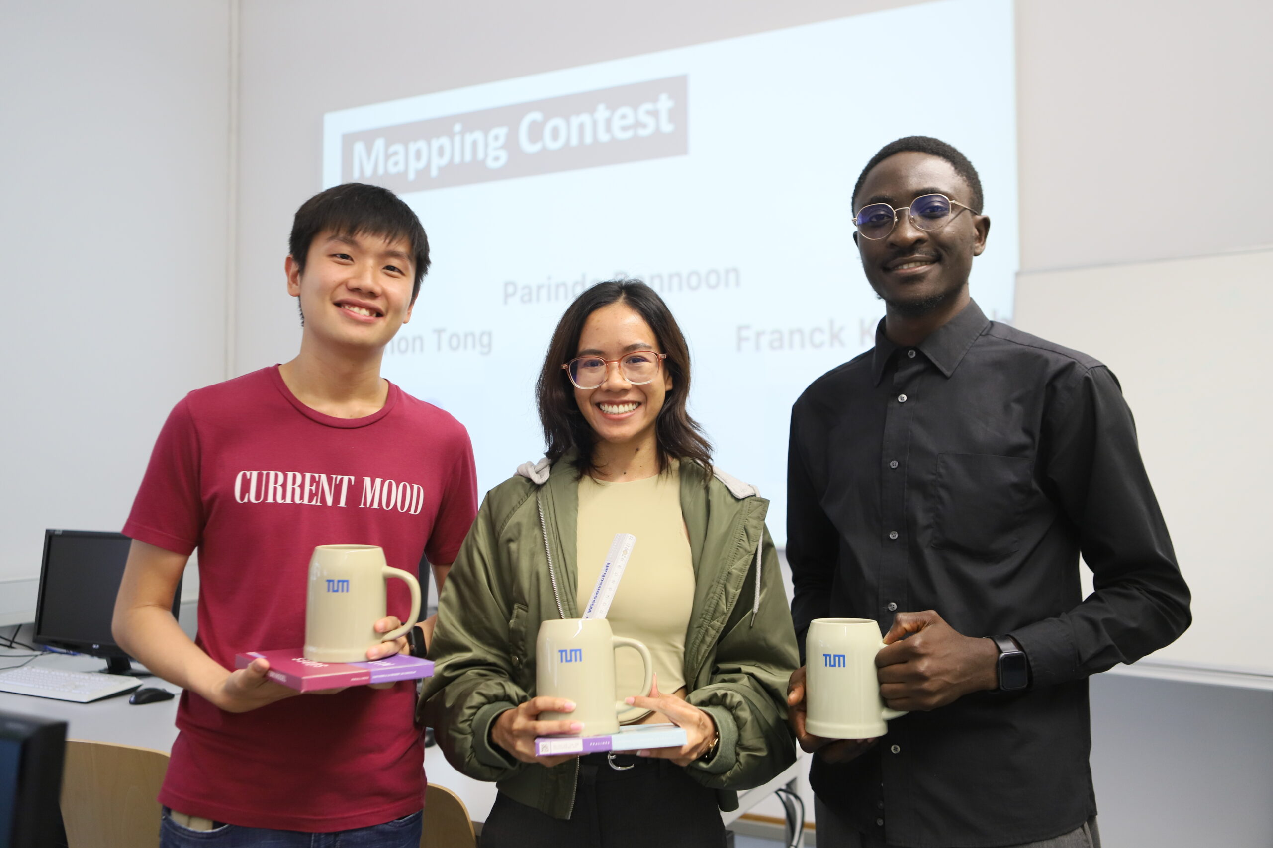
The most exciting moments came at the end. After evaluation, three participants won the top 3 mapper awards.
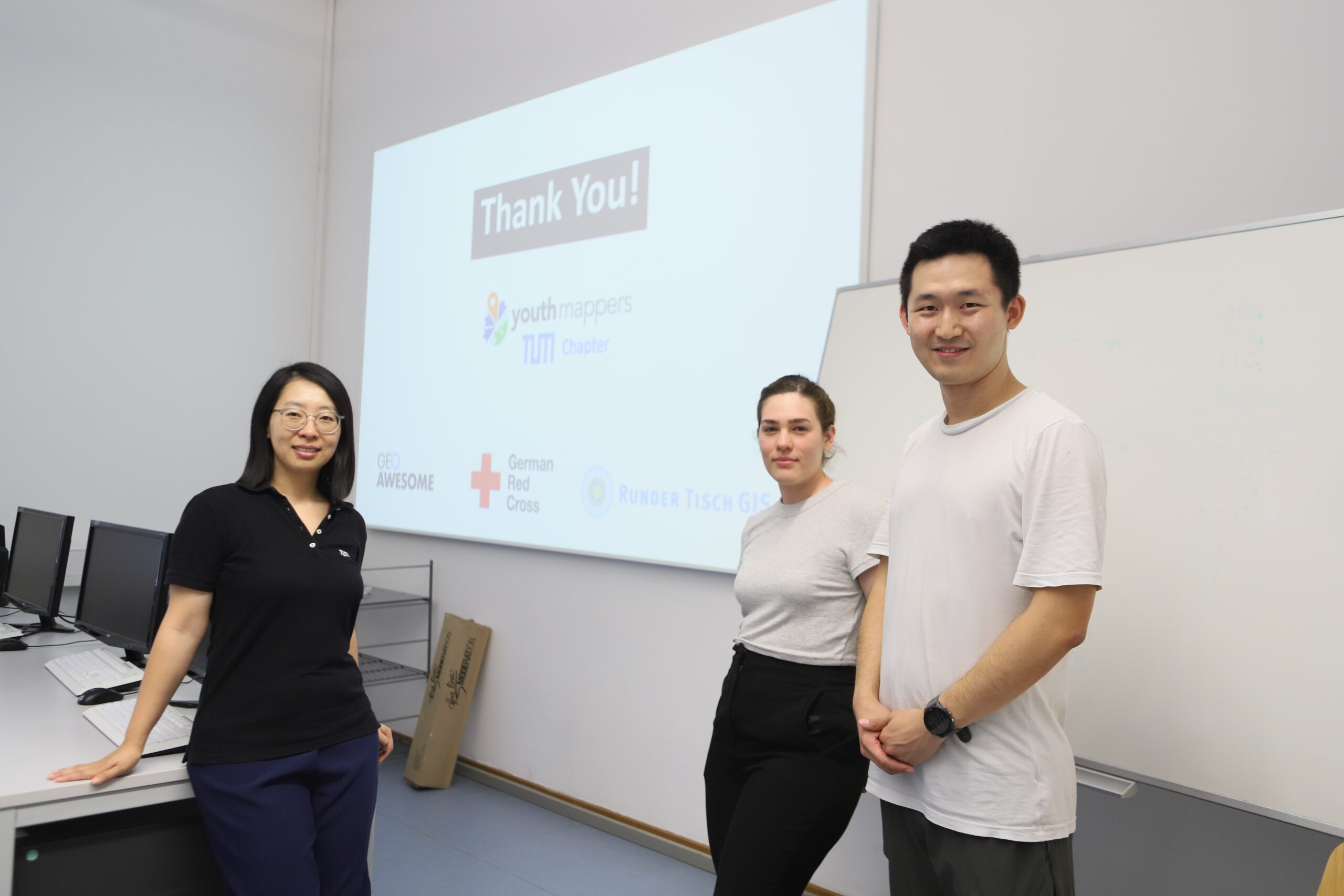
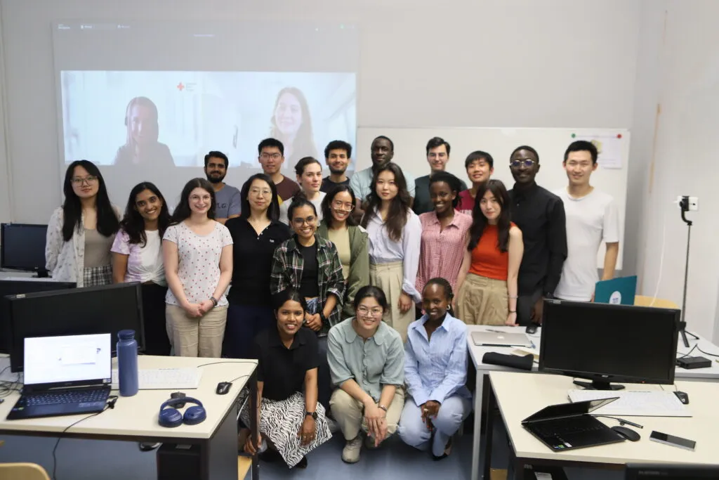
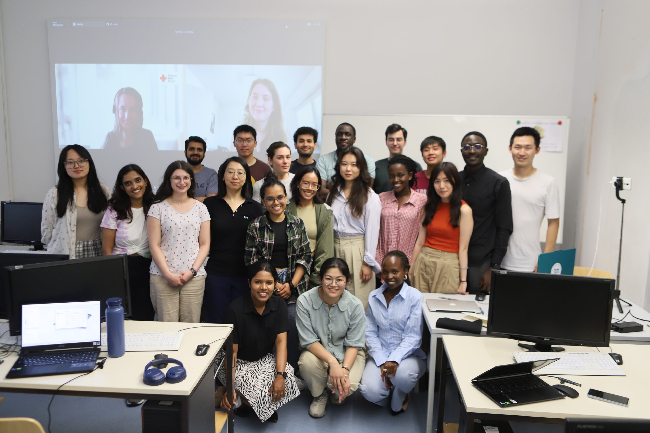
We closed the Mapathon with a large group photo. Many participants approached us afterward, eager to learn how to join YouthMappers at the TU Munich chapter. Their motivation and eagerness to contribute more were truly inspiring.

For us, mapping is not just a technical activity but a passion. It’s about making a difference in humanitarian efforts and disaster response. The Mapathon at TU Munich was not just about creating maps; it was about fostering a sense of community and purpose. The event’s success stands as a testament to the power of collective action and the impact of dedicated individuals working towards a common goal.
A big thanks to Geoawesome, the German Red Cross, Runder Tisch GIS e. V., and YouthMappers at the National University of Asunción. Keep an eye out for updates on our next Mapathon event.
See you next Mapathon!
YouthMappers at TU Munich
Nianhua, Lia, and Yao