#Business

For the next 24h you can play Pac-man on Google Maps
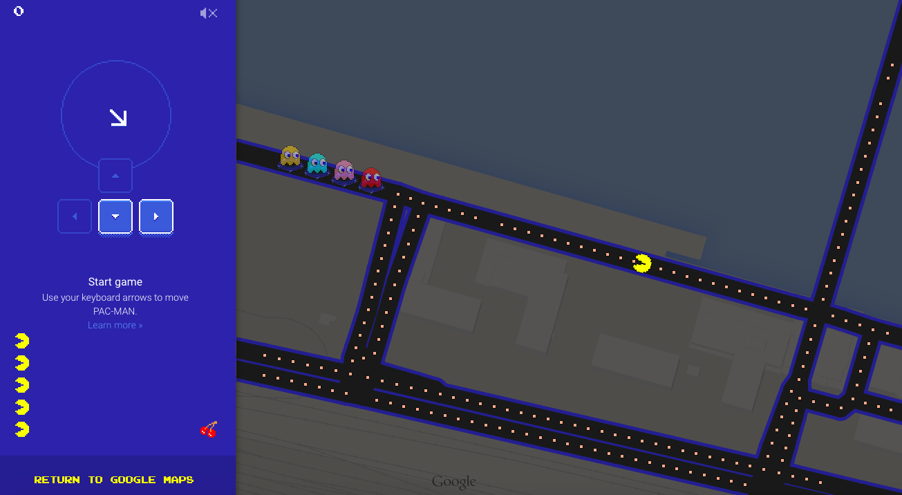
Pac Man Google Maps - GeoawesomenessaIn some parts of the World it’s already the 1st of April which means – Fools’ Day. Google created something awesome for that occasion! You can now play Pac-Man in Google Maps.

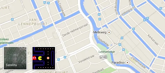
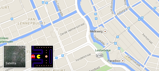
To play the game you just have to visit Maps website and click on the little Pac-Man icon on the bottom-left of the screen where you typically switch between Satellite and Map backgrounds of the map. When you do so, Google will transform street grid in your area into a Pac-Man level.  To navigate you need to use arrows on your keyboard. You’ll also hear the Pac-Man music theme which will definitely remind you your childhood. Awesome:)

Pac Man Google Maps 2 - Geoawesomenessa

But be fast this feature will most likely disappear in the next 24h.

source: Google

Say thanks for this article (0)
The community is supported by:
Become a sponsor
#Business
#Business #Featured #GeoDev
Geo Addressing Decoded Part 2: Beyond Coordinates – Exploring the Depth and Impact of Geo Addressing
Aleks Buczkowski 05.2.2024
AWESOME 4
#Business #Contributing Writers #Fun #People
History of GIS | ESRI – A Pioneer in GIS Technology
Sebastian Walczak & Nikita Marwaha Kraetzig 07.26.2024
AWESOME 1
#Business #Featured #Ideas
Why Have Scientific Datasets Been So Widely Adopted in Earth Observation and What Role Does Data Quality Play?
GeoawesomeTeam 07.17.2024
AWESOME 4
Next article
#Business #Featured #Ideas

Turn OpenStreetMap into futuristic, Sci-Fi visualisation

Neon, 3D buildings and a glowing street grid… In the 80s/90s when I spent long hours in front of Amiga I would consider it the best map in the world!

This retro-futuristic cartographic concept has been created with a use of Tangram engine developed by New York based start-up Mapzen. The engine transforms OpenStreetMap into a mosaic of glowing blue buildings populated with an endless flow of yellow traffic dots. You simply must visit the real thing and zoom around to see the movement in action.

By default the map shows lower Manhattan but you can zoom out and browse through urban grids around the world. This might be however quite tricky so you can just substitute your city’s coordinates for the default coordinates at the of the URL.

Tangram is an open-source 3-D mapping system so you might want implement it in your mapping projects. Definitely Geoawesome!

Read on
Search