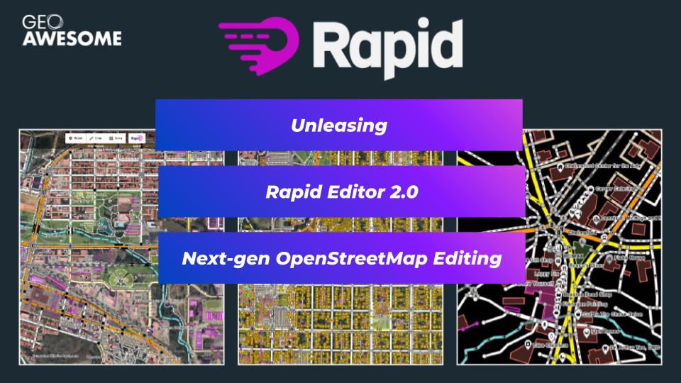
Unleashing Rapid Editor 2.0: A Deep Dive into Next-Gen OpenStreetMap Editing
#
#Business
#Environment
#Featured
#Shipping
#Transportation
Achieving Ambitious Climate Goals How Can Marine Geospatial Data Protect Our Oceans While Supporting the Shipping Industry
#Agriculture
#Energy
#Environment
#Environmental Protection
#ESG
#Featured
#Humanitarian
#Pansharpening
#Real Estate
#Satellites
#Science
#Transportation
5 Ways to Use Pansharpening on Satellite Imagery
#Construction
#Featured
#Real Estate
#Transportation
Urban Planning’s New Frontier: The Transformative Power of Satellite Imagery


