What DSCOVR might be discovering for us?

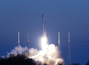
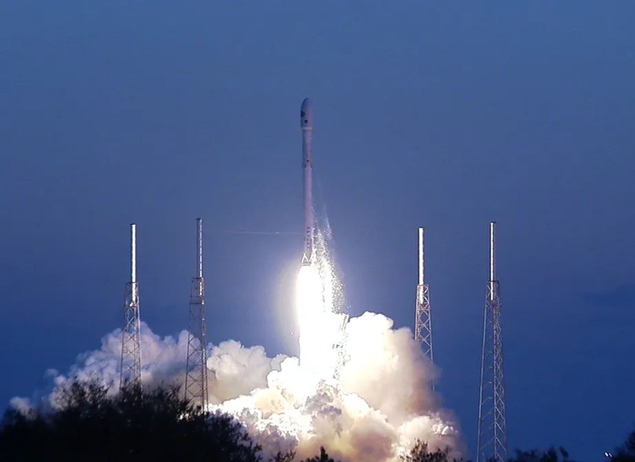
DSCOVR – Deep Space Climate ObserVatoRy satellite was successfully put into orbit by Falcon 9, a Space X rocket on Feb 11 at 6:03 PM. In another 110 days, the satellite will get to its own orbit, a million miles from Earth.

DSCOVR - Deep Space Climate ObserVatoRy satellite

Launch of DSCOVR

According to the media release from NOAA: “DSCOVR will be the nation’s first operational satellite in deep space, orbiting between Earth and the Sun at a point called the Lagrange point, or L1. It will take its place at L1 alongside NASA’s Advanced Composition Explorer (ACE) research satellite, replacing the 17-year old ACE as America’s primary warning system for solar magnetic storms headed towards Earth. Meanwhile, ACE will continue its important role in space weather research.”

Sponsored jointly by NASA, NOAA and U.S. Air Force, the satellite will be primarily operated by NOAA Satellite Facility in Maryland. The date from the satellite will be crucial to understand and predict geomagnetic storm magnitude at regional levels. Why should we worry about geomagnetic storms? One strong enough can leave you stranded mid way on a highway wiping out all the GPS satellites in orbit or disrupt the power grid and leave an entire state in dark. The applications also extend to communications and aviation.

Apart from this, the satellite also has two earth observing instruments on board to measure ozone and aerosol in the atmosphere. Lets wait until DSCOVR begins Discovering! Looks like there is a lot in store. And aurora watchers are going to fall in love with this satellite.

To read more, click here.


Did you like this post? Read more and subscribe to our monthly newsletter!

Say thanks for this article (0)
The community is supported by:
Become a sponsor
#
#Featured #Ground stations #Satellites
Ground Stations Explained: How Does Satellite Data Travel from Space to Earth?
Nikita Marwaha Kraetzig 02.29.2024
AWESOME 8
#0.30m #Business #Construction #Drones #Featured
What Construction KPIs Can Be Measured Using Satellite and Drone Data?
Aleks Buczkowski 12.7.2023
AWESOME 4
#Business #Geospatial analytics #Other
Making Geospatial More Approachable Through Clear Documentation: Meet UP42’s Documentation Lead, Daria Lutchenko
Nikita Marwaha Kraetzig 09.27.2024
AWESOME 5
Next article

Weather Forecasting using CubeSats and GPS-RO

Weather forecasting has definitely improved in the last few decades but still there are times, when looking outside the window provided a better guesstimate than your smartphone weather app. It certainly is a field of science where even 85% accuracy is still not enough (How Accurate are our public forecasts).

Weather forecast models have gotten better in the last decades as scientists have had more satellite data than ever to optimize their models, which means that if we had more weather satellites now, the weather predictions would be a lot better but launching these huge weather satellites takes both time and hundreds of millions.  Spire, a satellite tech start-up wants to challenge that by using CubeSats for Weather monitoring.

Wait! Aren’t weather satellites usually huge? How can CubeSats replace them?

It is true that Earth Observation satellites are, in general, huge and are in fact some of the biggest and heaviest satellites in orbit. The size is a direct result of the number of sensors they carry on board and their expected orbital lifetime.

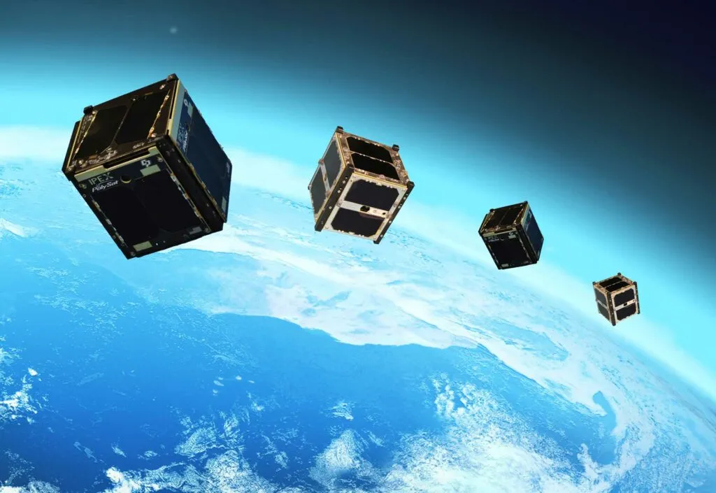
Spire wants to create a network of CubeSats launched in the low earth orbit with GPS receivers on board to continuously collect data about the earth atmosphere using a technique called “GPS Radio Occultation“, which is basically, analyzing the characteristics of the incoming GPS/GNSS signal to understand the nature of the atmosphere it just passed through to reach the CubeSat. A technique that has been already used in Satellite missions like CHAMP. (Read more: How GPS-RO works).

That data will then be transmitted down to ground stations. Even with just the first 20 satellites in place, a claimed 10,000 data readings will be made per day. By contrast, Spire states that the world’s present collection of weather satellites produce only about 2,000 combined readings per day, and they don’t provide sufficiently frequent readings for approximately three quarters of the planet – this mainly includes areas such as oceans and other remote regions.

If everything goes according to plan, all 100 CubeSats should be in orbit by the end of 2017. The network should then thoroughly cover the entire world, oceans and all. – Gizmag

CubeSats and Earth Observation Start ups

CubeSats and GPS-RO

CubeSats

We are right now with weather forecasting where we were with finding directions 10 years ago – Peter Platzer, CEO, Spire to Spacenews.com

Earth Observation startups and CubeSats are already changing the satellite industry with their innovative ideas and low costs.  Weather Forecasting using CubeSats and GPS-RO is certainly an interesting idea but at the moment, it would be difficult to completely replace these huge Earth Observation satellites with CubeSats, simply because it is impossible to pack all the sensors we need (besides a GPS/GNSS receiver) in a CubeSat for monitoring the atmosphere but it is certainly possible in the future.


Did you like this post about CubeSats and GPS-RO? Read more and subscribe to our monthly newsletter!

Read on
Search