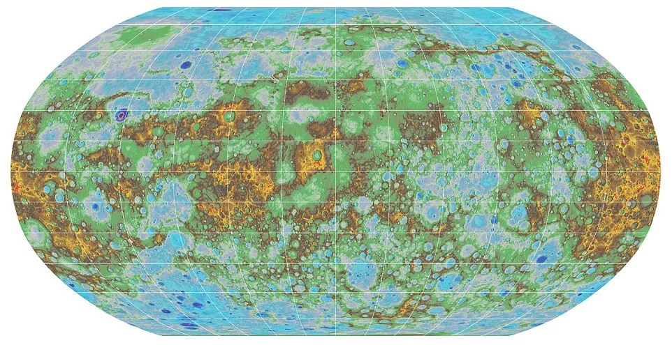
The first topographic map of Mercury
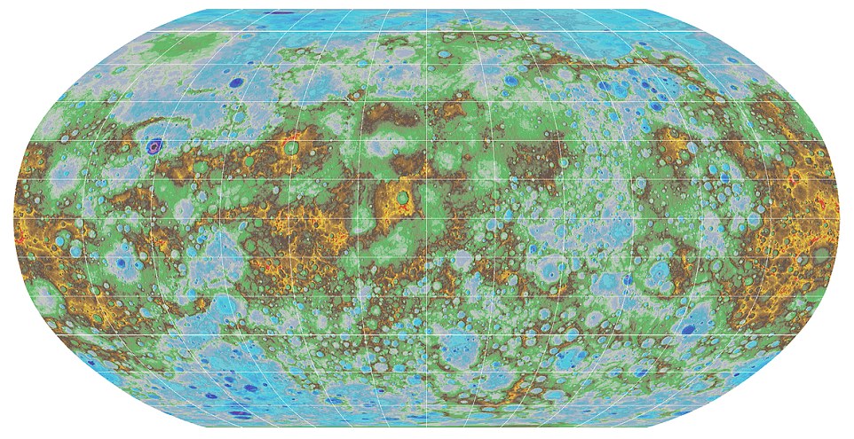
Mercury, the closest planet to our sun, now has an accurate topographic map. But how do you make a map of the whole planet which is 48 million miles (77 million km) away?
The scientists used 100.000 images taken by NASA’s MESSENGER. The spacecraft (which is an acronym for MErcury Surface, Space Environment, GEochemistry and Ranging) launched toward Mercury in 2004 and began orbiting the planet in 2011. Last year it ended its four-year long mission after flying around Mercury 4100 times. It took several months to process the data and place on a graticule (a network of longitude and latitude lines on a map).
The effect of their work is a high-resolution topographic map that the view of the planet’s entire surface. It shows craters, volcanoes and tectonic landforms among oth. The blues and greens show a lower elevations, while warmer colours show the planet’s volcanoes and mountains.
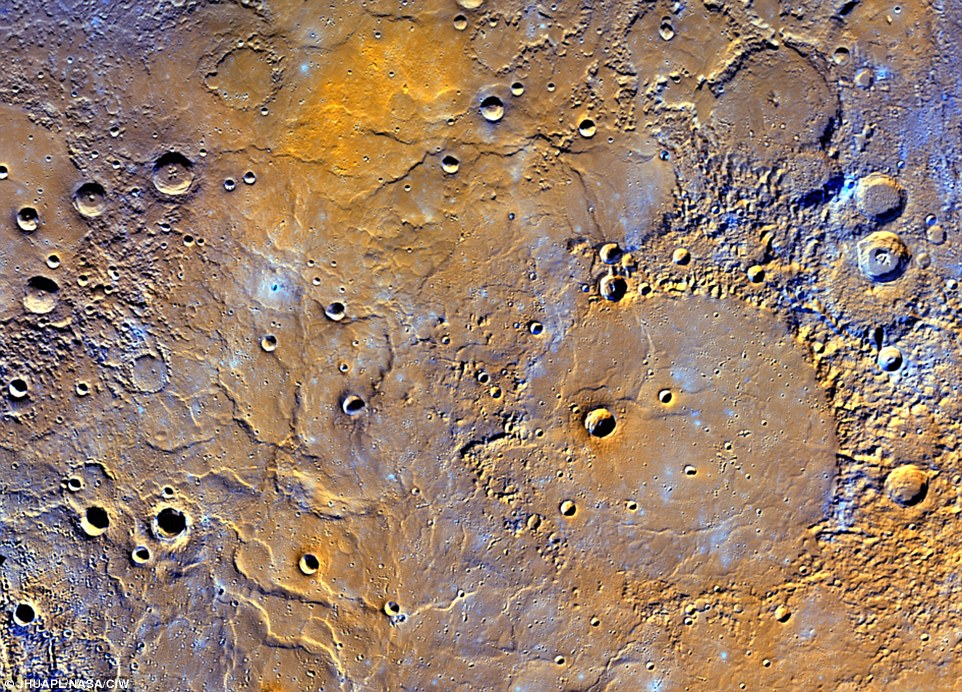 Mercury’s lowest point lies in the Rachmaninoff basin, located in the northern hemisphere, and is about 3.34 miles (5.38 km) below the planet’s average elevation. The highest peak on the planet, meanwhile, is located just south of the equator, and is 2.78 miles (4.48km) high.
The map was a collaboration between then U.S. Geological Survey, Arizona State University, Carnegie Institute of Washington, Johns Hopkins University Applied Physics Laboratory and Nasa, and it’s truly amazing.
Did you like this post? Read more and subscribe to our monthly newsletter!


