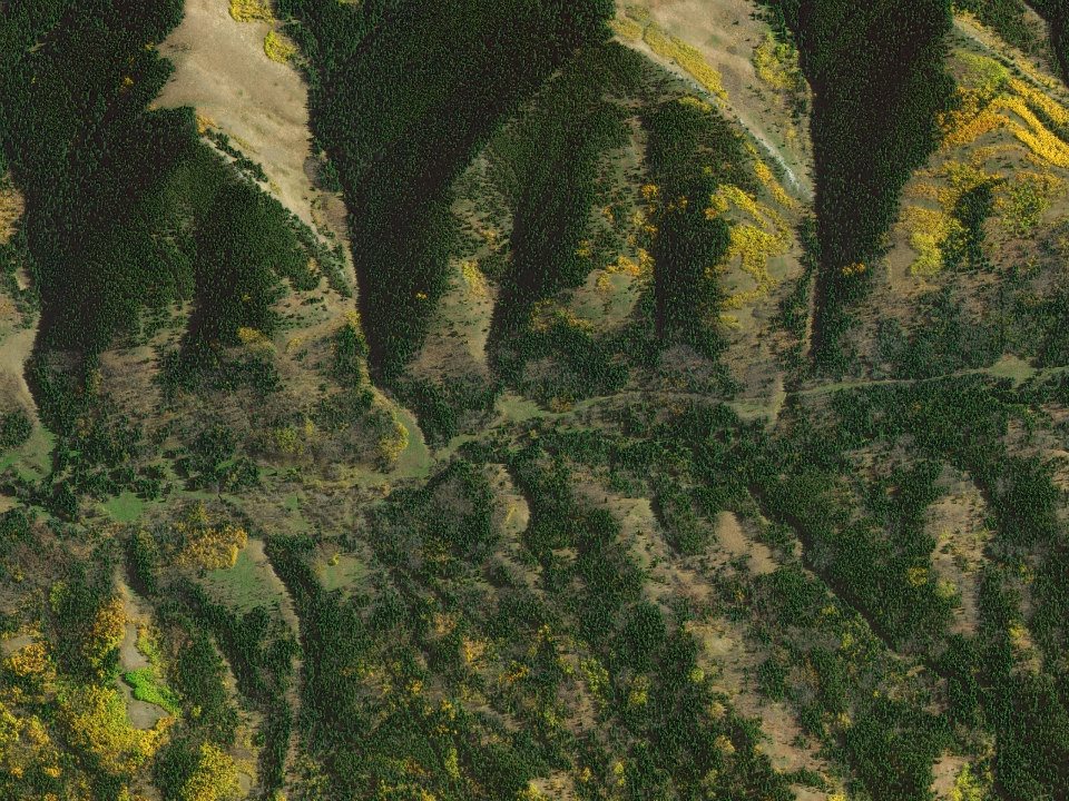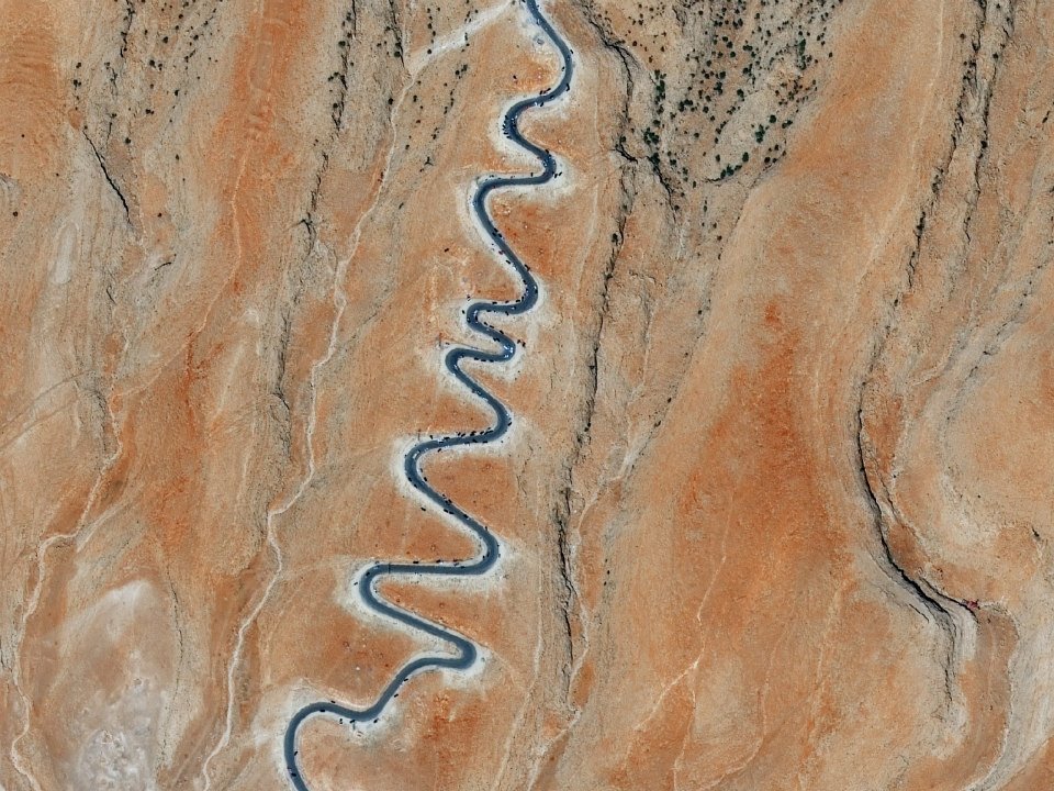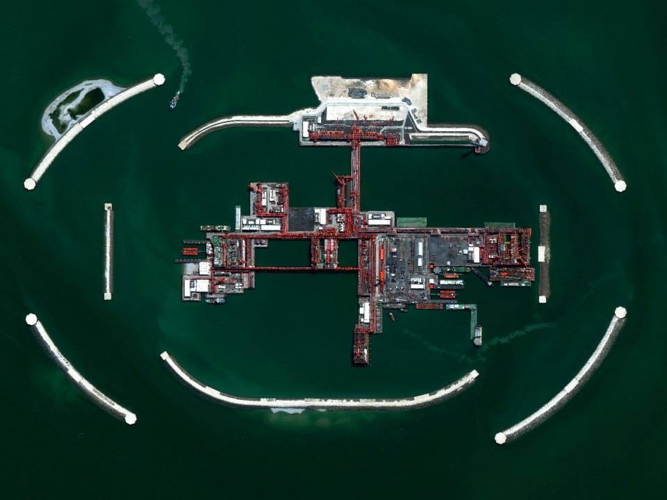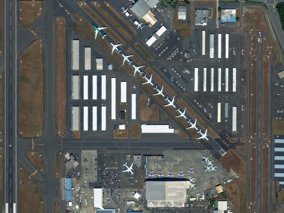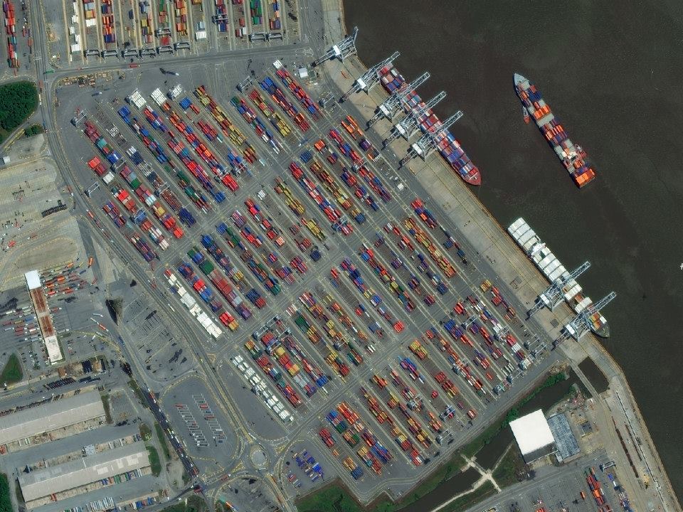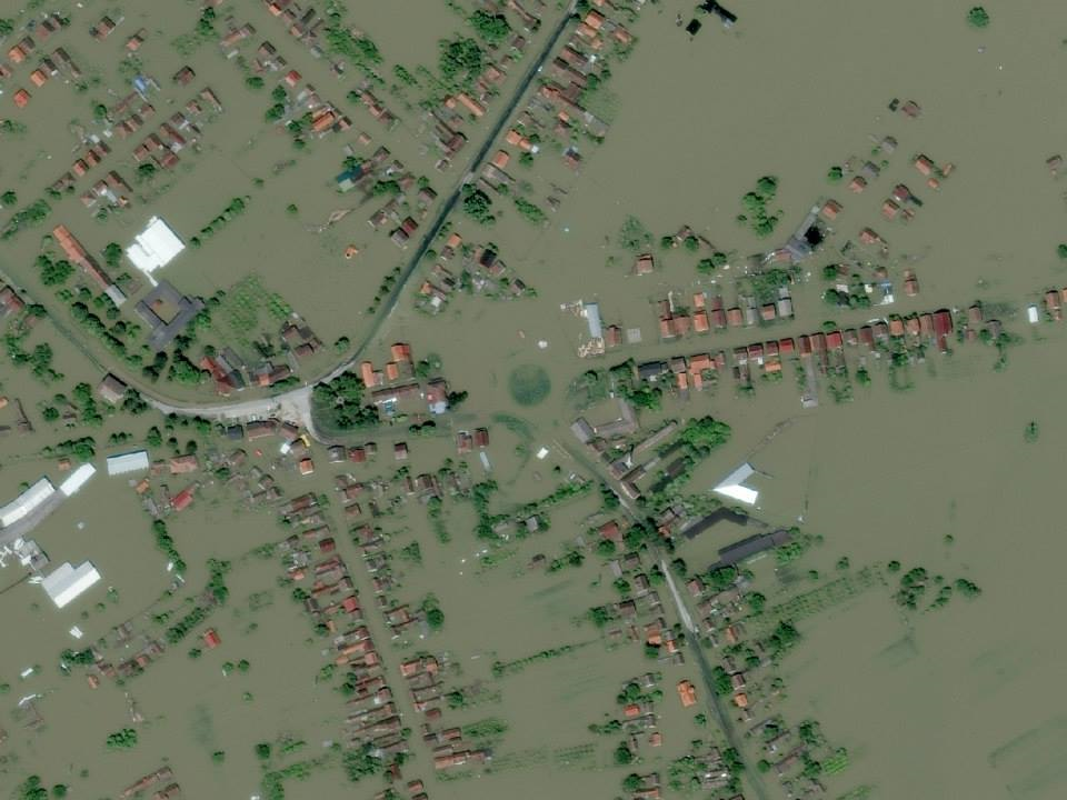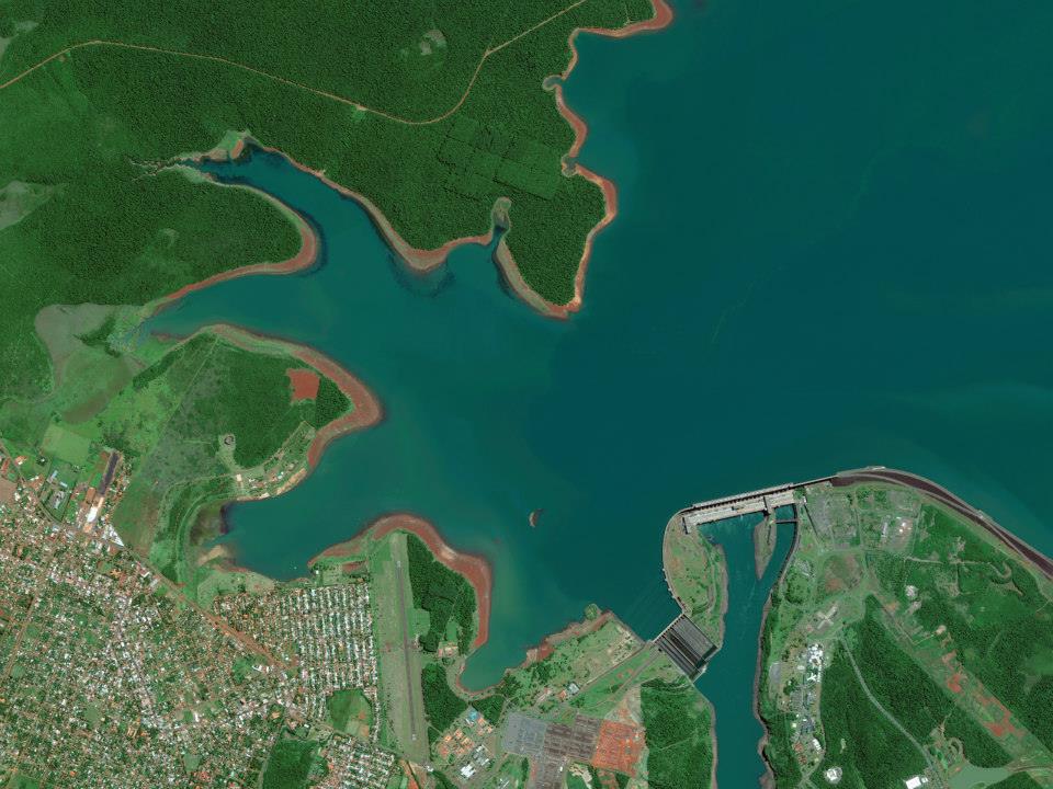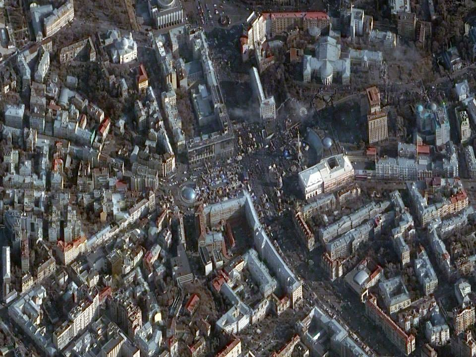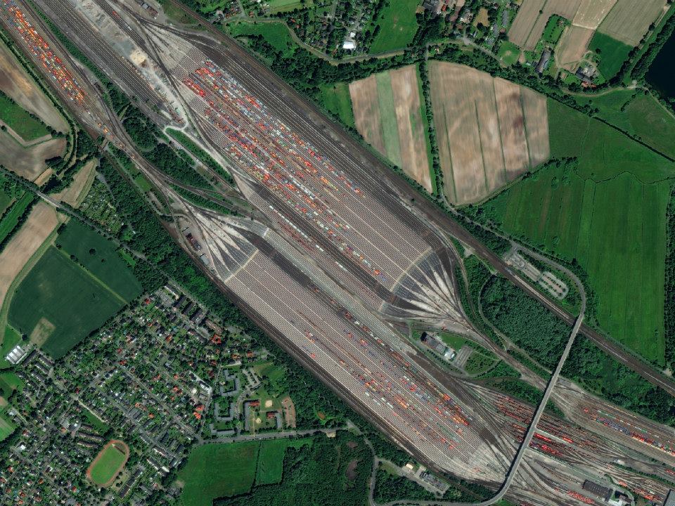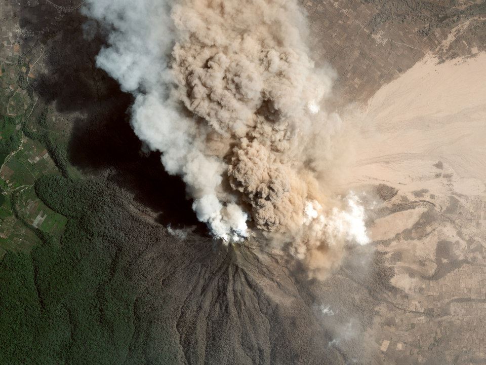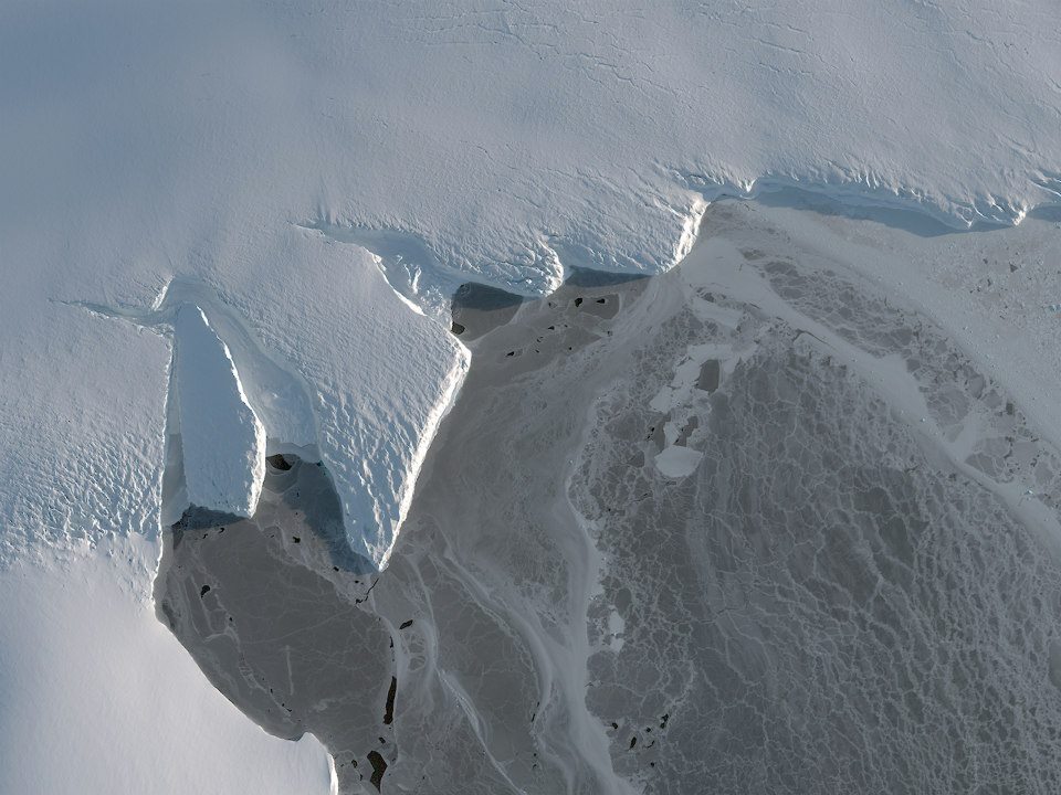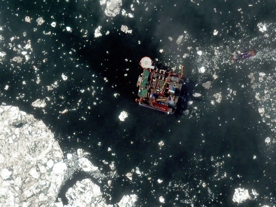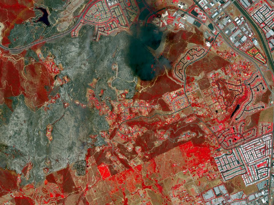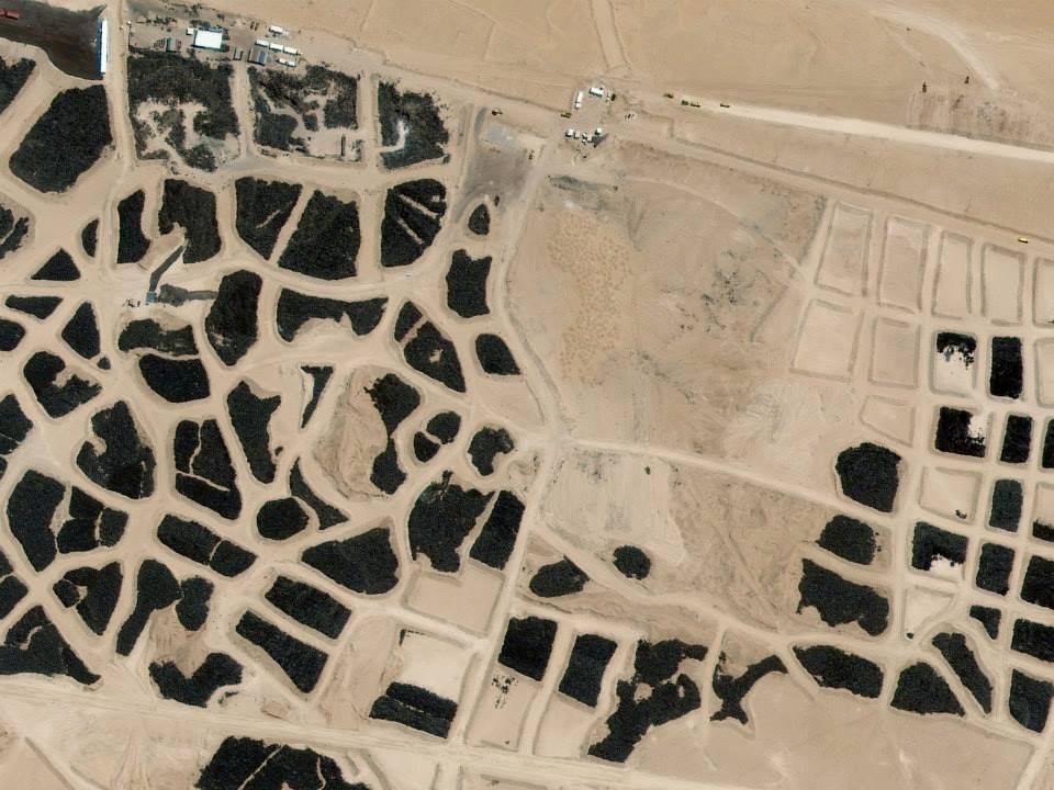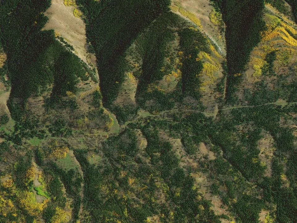
Digital Globe top satellite images of 2014
For the middle of the week we’ve got for you a visual delight. The top results of DigitalGlobe’ annual Top Satellite Image of the Year contest. The 25 contest images were gathered from the trillions of pixels that were captured last year by constellation of satellites owned by Digital Globe and selected by the company’s employees by popular vote.
As we can read in the brochure:
“The DigitalGlobe constellation collects over one billion km 2
of high-resolution imagery per year — building and refreshing
the most comprehensive and up-to-date high-resolution imagery
library in the world as well as offering tremendous tasking
capacity. You choose the world imagery you need and the
way you need it — online, offline, on your mobile device or
directly into your GIS —and we deliver real-world perspective
you can rely on.”
The winner is picture taken above Alberta, Canada in October 2010:
Here are all other remaining images:
Did you like this post focused on Digital Globe imagery? Read more and subscribe to our monthly newsletter!


