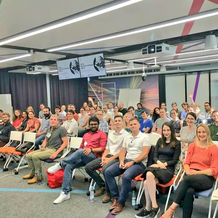
Thursday April 11th 2019 wasn’t a particularly cold day in Munich, Germany. With temperatures hovering around 7 to 12 Celsius, the concern that rainy weather might influence people to stay home and not attend the inaugural meetup of the geospatial community was slowly subsiding. But then again, it was the inaugural meetup and you never know how it is going to turn out. Close to 100 people had RSVPed and right around this point was the 1st time that we weren’t sure if the catering that we had ordered for 60 people was going to be sufficient. What if we have 100 people and they go hungry and as a result leave the event prematurely to grab a bite? What if the presentations and the topic turn out to be not to the liking of the community? Quite a few doubts whirling around with just hours to go.
Humble beginnings
Prior to this event, the only (or at least the only one that I know of) geospatial community meetup in Munich was hosted by our friends over at Esri startup program – GeoDev Germany. Lars Schmitz and his team did a great job bringing the community together and giving a platform for geogeeks to talk about .. well.. geospatial stuff. The GeoDev events were around for a few years and each event was attended by around 30-40 professionals who always came back to the event so the bar was high in terms of what the community expected from similar geospatial meet-ups.
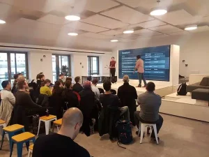
Making sure that the people leave the event feeling like it was time well spent was the ultimate goal. It still is the ultimate goal. Sure, there are tons of meet-ups where the focus is simply on bringing people together and not worrying too much about the organisation or topics but the motto was always “Go big or go home”. IMHO, It’s a lot more rewarding to spend a few days organising a meetup and then witnessing the choreography and geography come together. Each approach has its pros and cons.
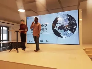
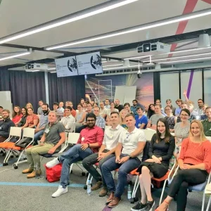
As the deadline approached and the room began to fill up, most of these doubts answered themselves and whatever little doubts remained were quickly put to rest by the most amazing MC there is – Bree Harrison. Once the event kicked off, things went on really smoothly. No major technical issues. No major problems whatsoever (all thanks to NavVis and their team who took care of most tech stuff). In the end, we had about 70 people turn up and roughly about 2 hours later, there were still about 30-45 people in the room and so was tons of food (miscalculation #1).
Metrics and numbers
Was the event a success?! How do you define success for an event? Based on RSVPs? Based on the feedback from the audience? Based on how happy you feel? If you take GeoDev Germany as the benchmark then the average was around 30-40 RSVPs (best event was about 70 RSVPs) so the fact that we had 100+ registrations for the inaugural event was on one side totally #geoawesome and the other side it was only increasing the pressure to deliver good events in the future. Remember, GeoDev Germany was at it for a few years! Lars and his team were at it regardless of the weather and the number of people showing up to each team. They build the community there.
Whatever the metric it was really great to have the entire community together in one room, talking about geospatial stuff. For over a year since Lars had left Esri, GeoDev Germany wasn’t really active anymore and so there was a pent up demand for people to talk geospatial and the meetup was probably the 1st in over 18-20 months. Esri was kind to sponsor the event and make it happen. Judging by that metric, it was a success. Is there room for improvement? Of course! At the end of the day, the biggest take away from the event was “Just get started and things will fall in place“.
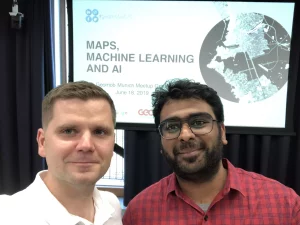
Connecting the dots – looking backwards
Having the luxury of hindsight and the ability to connect the dots now, here are a couple of things that I’ve learnt about hosting events whether that’s in-person or online. It goes without saying that these are simply my opinions and it may or may not apply to other meetup organisers. Nevertheless, I hope that might come in handy when you are thinking about hosting events yourself.
Learning #1: People overestimate what they can do in the short term and underestimate what they can achieve in the long term.
Fast forward to April 11th 2022 – Geoawesomeness has hosted 30+ events. 24 of these events were online (COVID restrictions). The community in Munich has grown to be 700+ member strong and the online community is close to 14000 people now. 3 years ago, I would not imagined these numbers.
Learning #2: Have a clear theme/topic for the event.
Geospatial is a huge industry! People who are interested in cartography aren’t necessarily going to be interested in development of maps for the automotive industry. Mixing topics might be great for hardcore geospatial professionals but not for everyone.
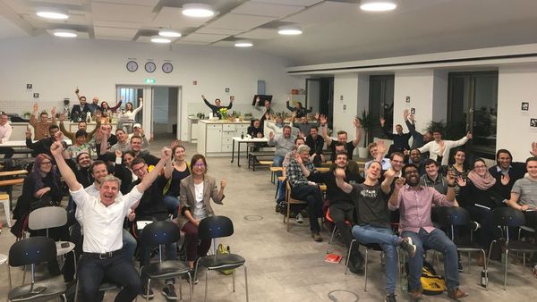
Learning #3: Don’t forget the end-users of geospatial data and tools.
Most geospatial events focus a lot on geospatial experts but don’t forget to at least invite the end-users of geospatial data and tools. Even better, invite non-geospatial experts to talk about geospatial topics at the event. Having the end-users in the room enables everyone to better understand the needs of the industry that we are aiming to serve.
Learning #4: The agenda is never going to fully satisfy the needs of a wide spectrum of people. Aim for a balanced approach.
The main objective of these events is to bring people together. If you create an agenda packed with developer-friendly talks then you are going to alienate the non-dev experts. If you invite only business owners then you are going to have a large group of bored developers. Its not easy. Having a clear theme and a balanced agenda enables a larger and more diverse group of people to come together and this is way more fun (IMHO).
Learning #5: The best presentations are the ones where the presenter is knowledgable and excited/interested about the topic.
Job titles usually aren’t usually a good indicator of this. Sometimes an intern is a better person to invite than the CEO of the same company.
Learning #6: Having an inclusive speaker lineup is a great way to improve the quality of our event.
Don’t do it just because. Its more work to look for great speaker who has a diverse background but the payoff is huge. Diversity and inclusiveness aren’t just political mantras! If you have an inclusive speaker lineup (and it is hard, I have to admit) you get way more diverse opinions and this makes the quality of the event a lot better. Having everyone in the room 100% agreeing with the speaker at all times is going to become quite boring really fast.
By inclusive, I mean invite speakers from different social and economic backgrounds. Someone who grew up in India is going to look at data privacy and ethics in a totally different way to someone from former East Germany.
Learning #7: Metrics are useful but there is no magic formula for success. Have fun while you are at it!
Feedback metrics, registration numbers, etc are great for measuring progress and for improving the event but don’t forget that sometimes there is no magic formula for success. I think the best events are when you as the organiser are motivating by the topic and have fun organising it. Everything and everyone else is going to form an impression based on your 1st reaction so don’t forget to have fun ?
Learning #8: Hosting the event as a team is way better than doing it on your own.
“If you want to walk fast, walk alone, but if you want to walk far, walk together” – the golden rule of (walking?) applies to community building as well.
The events in Munich wouldn’t have been possible without the encouragement of Lars, Bree , Ed and the active contribution of Florian, Abhi, Karen, Leo, Sara and Christo. And well, the online event is a dual act with Aleks.
So if you want to enjoy organising the events and keep at it for long, you are going to have to do it as a team.
Global perspective and a sense of community
Climate change, sustainable and inclusive economic growth, biodiversity, equality, health and well-being of a global population, peace, automation, the demographic divide and the many other challenges that humanity faces in the 21st century require a global perspective and a sense of togetherness.
We are a community that shares our belief in the power of location technology to transform the world for the better. We need to share this message with the wider wide!
This is what motivates us to host these events. Bringing the community together. Having fun. Contributing (even if it is only a drop) to transforming the world for the better.
Get started. Host a meetup!
If you are looking to host meet-ups in your city and have questions on how to get started, please feel free to write me. Happy to support ?
Aerial photography in the 1860s, satellites in the 1960s – for more than 150 years now, our eyes in the sky have provided us with a unique view of the world. For decades now, Earth Observation has played an important role in helping scientists understand how the planet works and has provided us with data essential for making informed decisions about the planet’s resources and the environment. Earth Observation is where people and the planet come together.
It is now entering a new phase where it is not only playing a fundamental role in building a sustainable and inclusive future but also a new era where it is playing a key role in enabling a myriad of applications and providing enormous benefits to the business sector. Since its founding in 2019, UP42 has focussed on building a platform that empowers innovative organizations to build solutions using EO data and analytics, to scale faster and affordably.
They are making a dent in the history of planetary data by providing access to data that was previously out of reach for many. UP42 believes that by bringing people together, they can bring information together and create change together. Bringing passionate people together is what Geoawesomeness has been excelling at for the past 11 years. That’s why UP42 is partnering with Geoawesomeness to help bring people, stories and information together to celebrate the future of Earth observation and that of our planet.
UP42 and Geoawesomeness are proud to present a new, searchable knowledge database built solely for Earth Observation – the EO Hub. Built for policymakers, business leaders, Geospatial experts and enthusiasts alike, the EO Hub is designed as a key resource for everyone to understand how Earth Observation is transforming our world. We aim to blend the deep technical knowledge of scientists and engineers with the practical and solution-oriented approach of end-users to provide the readers with a unique view of the EO industry.
The EO hub aims to be an open, inclusive and global platform that provides a voice for everyone interested in sharing their expertise with the rest of the world. Together, we’re going to be talking about EO use cases from all over the world and exploring how disruptive technologies and actors are changing the Earth observation landscape, providing valuable insights and transforming the world for the better. We as a community have an opportunity to write Earth Observation history.
