
Mobile ArcGIS has been slow to take off. Part of the reason we suspect is due to the confusion around mobile GIS in general and making decisions on the best option for your particular needs. In this video we discuss mobile GIS apps. The core differences and factors which you will need to consider when you think about using mobile GIS within your organization.


#Science


Next article
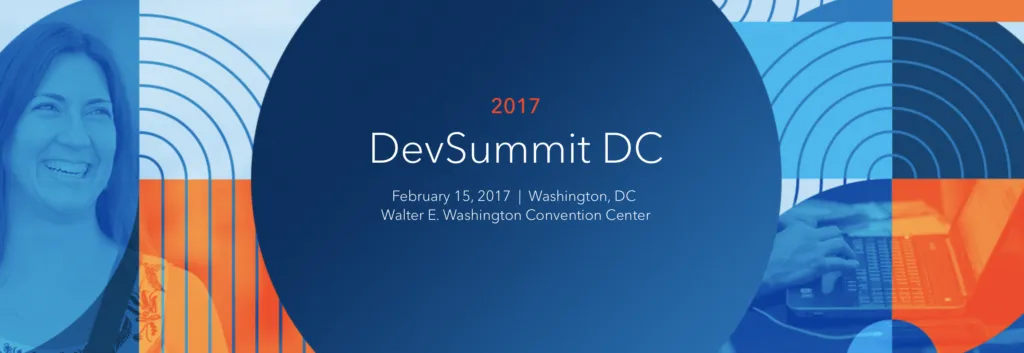


For 12 years now, Esri DevSummit continues to be the globally premier conference for geospatial developers, and next week, for the 5th year in a row, we’re hosting a DevSummit in Washington DC. Year after year, this event continues to grow, with more attendees, Esri staff, and technical workshops than ever before.
This premier event “For Developers, By Developers” will be held at the Walter E. Washington DC Convention Center on Wednesday, February 15th. Whether or not you just attended Esri’s Federal GIS Conference on Monday and Tuesday, if you are a developer, we encourage you to come on by. We have a full slate of technical workshops covering the entire ArcGIS platform. If you are extending ArcGIS applications, designing and administering enterprise systems that include ArcGIS, or building mapping and GIS apps for desktops, devices, and the web, this intensive developer day is for you.
DevSummit is more than just a conference. We have designed the technical session agenda in order to make it a productivity event. You are not only going to see, hear about, and discuss the latest products and functionality, you will also be able to put them to use right away. And in this way, DevSummit attendees will always have the competitive edge.
With over 75 technical sessions, you will learn about capabilities of the ArcGIS platform that are new, enhanced, and expanded. If you have been working with ArcGIS for years, we have the deep dive sessions you want, and if you are new to the platform, we have the best introductory sessions for getting you started. Here’s a short list of sessions we’d like to highlight:
- ArcGIS API for JavaScript: What’s New at version 4x
- Artificial Intelligence: Geo Deep Learning with Big Data and ArcGIS
- Security and ArcGIS Web Development
- Geodatabase Programming with SQL and Python
- Building Apps and Add-ins with the ArcGIS for Defense Solution
- ArcGIS Web AppBuilder: Customizing and Extending
- ArcGIS Python API: an Introduction
- ArcGIS Open Data for Developers
The sessions are intense, 45 minutes each, with 15 minute breaks in between. The morning starts with some carbs and coffee to kick things off, a hearty lunch in the noon hour, and then a “Meet the Presenters” social at 5:00pm where you can have productive one-on-one discussions with Esri developers who build, and build-on the ArcGIS platform.
If you want to join the conversation use the hashtag #DevSummit and follow @EsriDevSummit on Twitter, Facebook.

