
Climate change mapping, disaster management, urban planning, land use, and many more are the applications where space data, if appropriately exploited, can play an important part in increasing the applicability of geospatial technologies. The major expansion and development of geospatial technologies brings quite an interesting correlation between the areas where this expansion is predicted, e.g. construction, engineering, ecology, and precision agriculture, and the use of space data. As such, it is essential for potential entrepreneurs of this industry to learn how to navigate the business world through space.
The EUSPA Space Academy, a portal open to aspiring entrepreneurs and start-ups in all kinds of fields, offers a unique chance to explore the potential of space data and learn how to structure, design, and launch a successful business. The learning platform proposes an interactive and easy-to-use interface with options for live and offline sessions.


The space industry has never been more accessible than now. More and more entrepreneurs are taking this opportunity to combine their business with space data to eventually access a larger market and provide added value and the most efficient solutions to their customers. The EUSPA Space Academy provides all support for geospatial experts looking for a programme where space meets business.
All communications, press, or content enquiries can be directed to: hello@euspaspaceacademy.eu
Did you like the article? Read more and subscribe to our monthly newsletter!


#Featured


Next article
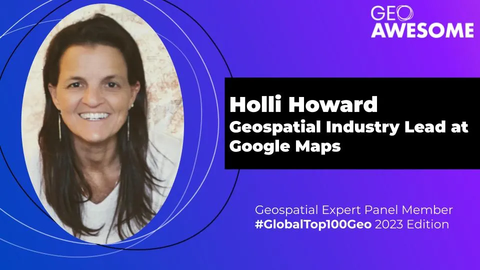

Geoawesomeness is delighted to announce Holli Howard, Geospatial Industry Lead at Google Maps joins us as an expert on the panel for the 2023 Global Top 100 Geospatial Companies.
Holli Howard is the Geospatial Industry Lead at Google Maps where she works to advance geospatial data interoperability through public and private partnerships. Before Google, Holli represented the US National Geospatial-Intelligence Agency on climate and national security issues including Obama’s presidential memo in 2016 and worked as a Senior Analyst at the USAID’s GeoCenter. Early in her career, Holli was the GIS Director at Casey Trees in Washington, DC, where she managed several citywide tree inventories and was awarded ESRI’s Special Achievement in GIS for showcasing urban environmental and economic benefits of using green infrastructure in the nation’s capital.
An advocate for lifelong learning, Holli recently completed the Executive LEAD Program at Stanford University Graduate School of Business to complement two graduate degrees in Natural Resources and Spatial Analysis from the University of Tasmania and the University of Vermont and a certificate from University of Maryland in Advanced GEOINT. She welcomes connection with geo-enthusiasts at linkedin.com/in/hollilex
About Global Top 100 Geospatial Companies
Since 2016, Geoawesomeness has been publishing this annual list to enable the community to identify companies across the world working on geospatial topics and to foster collaboration.
(2016) List of Top 100 Geospatial Startups and companies in the world
Did you like the Geospatial Expert Panel? Read more and subscribe to our monthly newsletter!

