In June 2015 Mapbox reported raising $52.6 million from investors. Yesterday CartoDB shared a news about securing $23 million funding in Series B round. Mapping start-up are on a roll… and most importantly investors are finally seeing a potential in location-related start-ups which are not based on gathering user spatial data (like Foursquare) but giving people tools to analyze and visualize geographic phenomena in an easy way. This is important for all people in broad geospatial industry – to all of us.
For those who don’t know the company, CartoDB is online map maker and business intelligence startup which aims to make it easy for anyone to communicate information with a map. The company was launched in 2011 by two Spanish biodiversity and conservation scientists who wanted a better tool to communicate their results. CartoDB has since been used by over 120,000 users to make 400,000 maps.
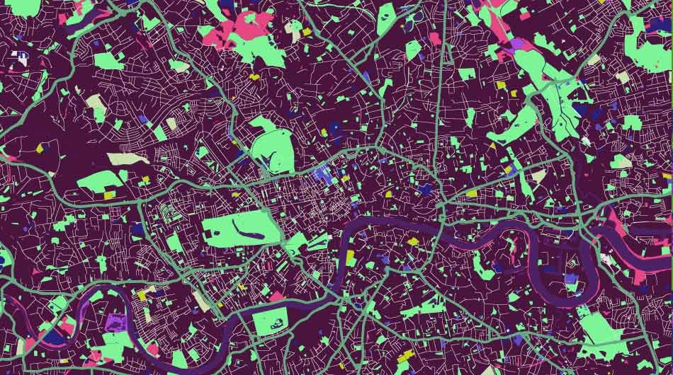
The mapping projects created with CartoDB are for example: recent mapping of 36 million AshleyMaddison users, Living Cities project, crazy start-up mapping, smell map of London, UFO maps, river directions map, meteorites hit map.
The company will use the investment to strengthen key strategic areas: Product development, Data science, Business development, Marketing & Sales.
As of today CartoDB has over 1,000 paying customers — ranging from big banks to government departments, but anyone can create a free account to access the platform’s basic features. It seems that this features will soon get even better.
Congrats CartoDB!
