Check out this new powerful remote sensing platform for agriculture
 Earth Observing System (EOS) one of the hottest remote sensing startups in Silicon Valley has recently released their new cloud-based platform focused on agriculture called EOS Crop Monitoring.
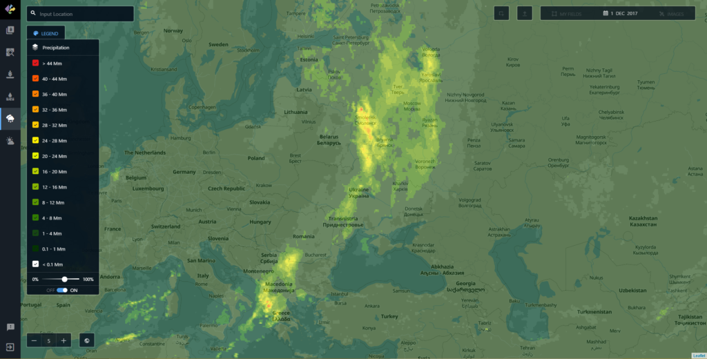
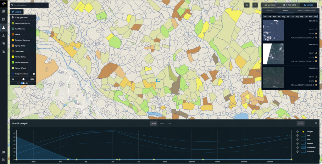
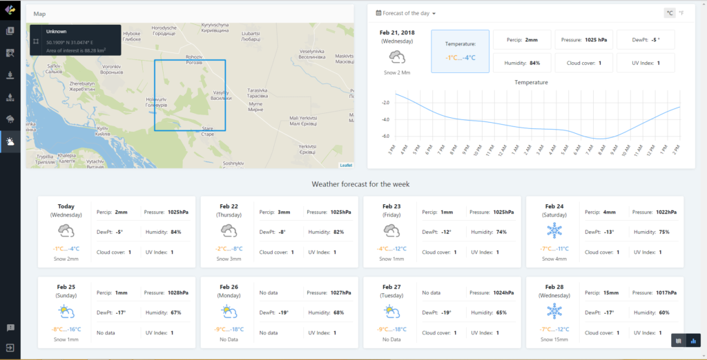
The platform allows users to extract insights from remote sensing data such as crop types classification maps, crop yield forecasts, field boundaries, vegetation indices, crop conditions, soil moisture and weather data among others.
The platform is powered by EOS Engine and is based on a multi-level deep learning architecture that targets land cover and classifies crop types from multi-source satellite imagery. The key element of the architecture is an unsupervised neural network that is used for optical imagery segmentation and missing data restoration.
It supports many types of earth observation data sets and capable of on-the-fly analytics processing. The platform can automatically remove cloud cover and shadows as well as extract valuable information on a different scales with the processing of large-area data. Additionally, the tool includes both historical and current observations. This allows for quick identification of a field’s performance throughout the growing season as well as high-risk areas affected by droughts, floods, hail, etc.
Interestingly the app can be licensed as a White-Label, providing EOS partners with cloud-based services for their own users to increase interactions across the whole farming value chain. The platfrom can be customized as well as integrated with 3rd party systems through EOS API.
Guys at EOS developed really interesting solution, definitely worth checking it out, if you’re searching for advanced satellite remote sensing cloud-based platfrom.







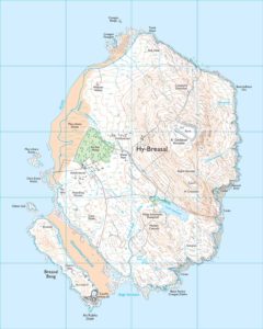 The United Kingdom’s national mapping agency, Ordnance Survey, collaborated with Country Walking magazine for April Fool’s Day 2018. The premise was to tell people that an island, which had been lost to the sea centuries ago, had risen mysteriously now and needed to be mapped.