British Library’s Georeferencer project
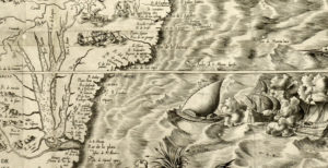
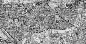
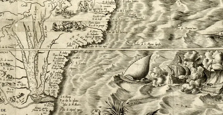
Maps are certainly beautiful. The beauty and magnificence of maps are something all of us have witnessed in the past. If you dont agree with me, then take a look at british library’s treasure trove! By now, I bet you are just as fascinated by maps as I am.
All said, somehow I feel the beauty of maps lies with the old maps. The maps of the yesteryears were the best. The cartography was amazing. Hold that thought right there!
Imagine having a API that lets you view old maps of your city and overlay them on top of the latest satellite imagery. Imagine being able to see ancient/historic and modern maps at the same time. Imagine being able to see something like a Map timeline using a slider. A wonderful wish indeed!
Now that where British Library needs your help. Its in the process of turning all those wonderful ancient maps it has into a digital treasure trove.
For our wonderful dream to come true, British library is seeking people to help Georeference the old maps. Its quite simple: we find locations that can be considered as control points and georeference them.
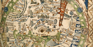 At the end of it all, its easy for us to slide through centuries and view the city when it was young. Marvel at the accuracy of cartographers who didnt have GPS, Total Stations and other modern surveying equipment to prepare these maps.
We can visualize the errors, upload it to Google Earth and a lot of other cool stuff as well.
So what are you waiting for, go georeferencing then for British Library!


