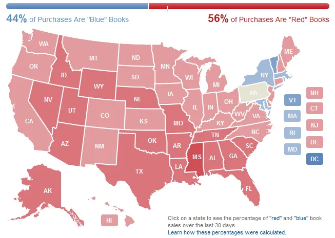

The buzz surrounding the upcoming US presidential election is everywhere. Amazon decided to join it with interesting project – Amazon Election Heat Map which is tries to check which tries to check whether each state is liberal or conservative based on book sales. The idea is simple – Amazon colors each state according to the percentage of red (conservative) and blue (liberal) book purchases that have been made on Amazon.com during the past 30 days. A state turns blue if it has a higher number of liberal book sales for the month, taking into account both print and Kindle formats. When liberal and conservatives are more equally represented in a particular state, that state will be shaded beige.
“Book sales by geography always have interesting things to say about our states, and an election season is a particularly good time to use this data to help customers follow the changing political conversation across the country,” said Chris Schluep, senior editor, Amazon.com books, in a statement.
This kind of indicator will not reflect how people will vote on the big day but it can show some spatial pattern in a macro scale. It would be especially interesting when analysed together with demographic data (e.g. population, income, unemployment, education level) by each state. Let’s see how it is going to change with time.

source: Amazon


#Ideas

Next article
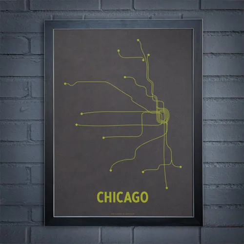
If you’re reading this post you are probably already fascinated about location and cartography. And you should be. Maps are beautiful. Do you also have this feeling while waiting for a metro in your city being totally drawn to the line maps that are posted at each station? It might seem odd to wax poetic about something so utilitarian, but there is such a graphical beauty to subway line maps. Just look at it:


you can buy one at: Etsy for $24

