Read how Google Earth imagery led to the discovery of not one but two unexplored rainforests in Mozambique, Africa…
Discovering Mount Mabu: 2005

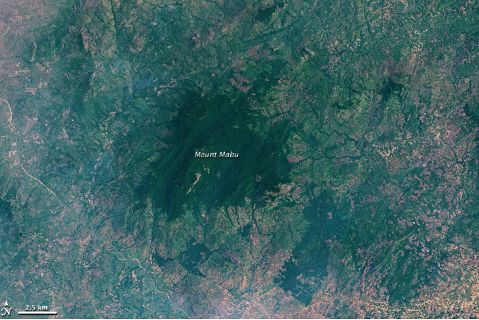
On November 8, 2001, a multispectral scanning radiometer on NASA’s Landsat 7 satellite captured a patch of deep green on top of Mount Mabu, Mozambique. It was an area that had served as a refuge for the locals during a civil war witnessed by the southern African nation from 1975-1992. But it wasn’t until 2005 that the rest of the world – including the majority of Mozambican citizens – came to know of its existence.
In 2005, researchers at the Royal Botanic Gardens, Kew, stumbled upon an image of this rainforest on Google Earth. They were looking for areas with potential unknown biodiversity and Mount Mabu seemed to check all the boxes. The region received high rainfall and was not easy to access.
The first expedition to scope out this electrifying discovery took place in 2008. And it did not disappoint. The scientists took over 500 plant specimens back with them to study at Kew. They came across almost 200 different varieties of butterflies (four of them turned out to be new) and many rare or endangered bird species. They also stumbled upon a new pygmy chameleon, two undiscovered snake species, and variety of frogs, snails, bats, and insects.
Finding Mount Lico: 2012

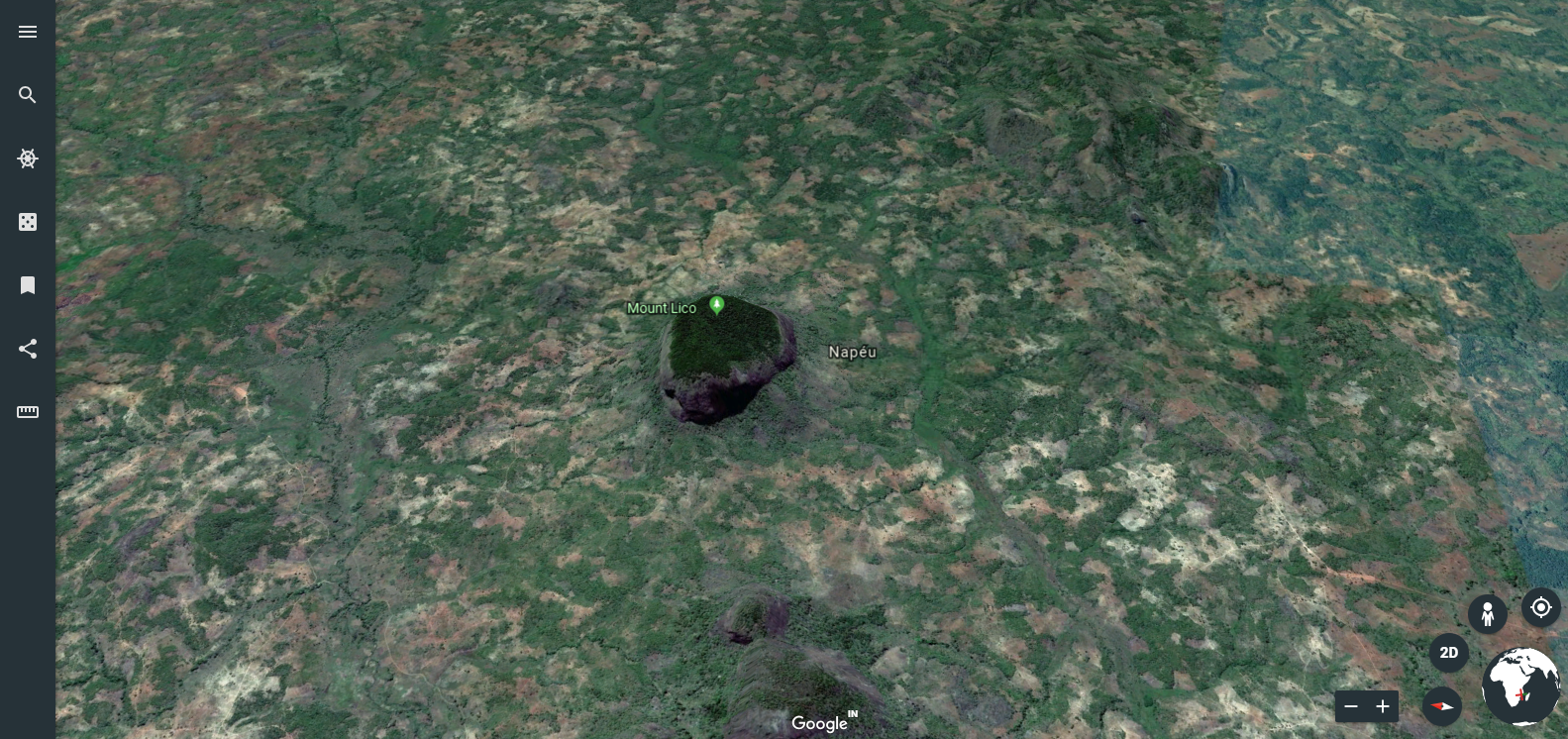
Conservation biologist Julian Bayliss (who was also a part of the Mount Mabu expedition) came across this crater-like image on Google Earth in 2012. There was no doubt in Bayliss mind he had discovered another rainforest. Zooming in on the image revealed an especially exciting fact. The thick vegetation patch was housed on an inselberg (an isolated hill) with very steep walls. Its inaccessibility meant there were high chances of finding a virgin natural environment in the rainforest.
And sure enough, when the expedition finally took place earlier this year – after years of carefully curating a dream team – scientists had to climb up a 125-meters near-vertical rock just to get to the forest. This single excursion has already unraveled a new species each of butterfly and mouse.
Well, Google Earth has surely done its part. How well these rainforests are now kept protected depends on the government of Mozambique.


 University of Maryland: GIS Data/Support Specialist
 UCAR: High Altitude Observatory (HAO) Lab Director
 MSF UK: Health Information and eHealth Strategic Lead
 COWI: Solution Architect for GIS & IT
 BP: SIM Senior Specialist Geospatial
 Cognizant: GIS Developer