#Environment

What’s your Geographical Centre of Gravity?

Geographical Centre of Gravity?! Isn’t that the same as the centre of gravity? Were the first questions that popped up when I came across this interesting application “The GeoMidpoint Calculator“. But then the GeoPoint Calculator is your personal centre of gravity calculator! It helps you calculate the geographical average location for all of the places you have ever lived, the midpoint in the town for you and your friend to meet, which place should be your base camp if you plan on travelling a lot, so on and so forth!

To calculate your Geographical Centre of Gravity, one has to basically enter the coordinates for places where you have lived and how long you have lived there and voila, your personal centre of gravity is displayed. Wondering how exactly do they calculate your personal centre of gravity – here’s the link . You could also use this application to decide the place where it is bang in the geographical centre for you and your friend to meet up.

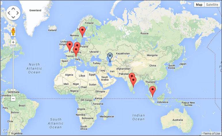
geographical_centre_of_gravity

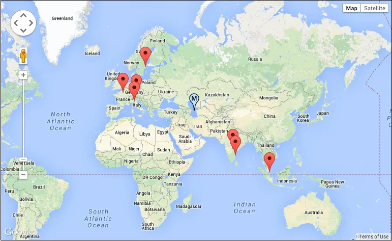
I was curious to know what would be the geographical centre of my travel, entered some of the cities that I have visited and looks like that would be somewhere in the middle of the caspian sea! So much for wanting to visit THE centre. Can’t blame a fan of Jules Verne and the Journey to the centre of Earth wanting to travel to the centre can you 😉 But then they helped me decide where to travel next: courtesy an option that generates a random point on the map.

There a lot of cool geography related application that have been floating around the internet and social media and GeoGuessr was definitely one of the most popular games/activities. I’m certain that there will be more such application and activities in the coming times. What is your favourite activity/application that involves geography? 🙂

Say thanks for this article (2)
The community is supported by:
Become a sponsor
#Environment
#Environment #News
London Gatwick Airport Launches a New Geospatial Platform to Manage Buried Assets and Support Biodiversity
Nikita Marwaha Kraetzig 04.18.2024
AWESOME 4
#Environment #Fun #Ideas #Satellites #Science
Using Principal Component Analysis (PCA) in Satellite Imagery: A Concise Guide with QGIS Application
Sebastian Walczak & Nikita Marwaha Kraetzig 09.11.2024
AWESOME 1
#Environment #Fun #Science
How LiDAR Technology Helps in Landslide Monitoring?
Sebastian Walczak 04.16.2024
AWESOME 2
Next article
#Business #Ideas

Indoor Positioning Using Camera And Image Recognition

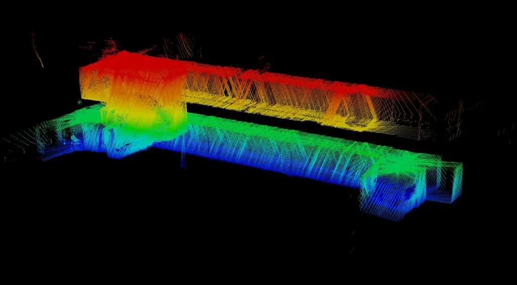
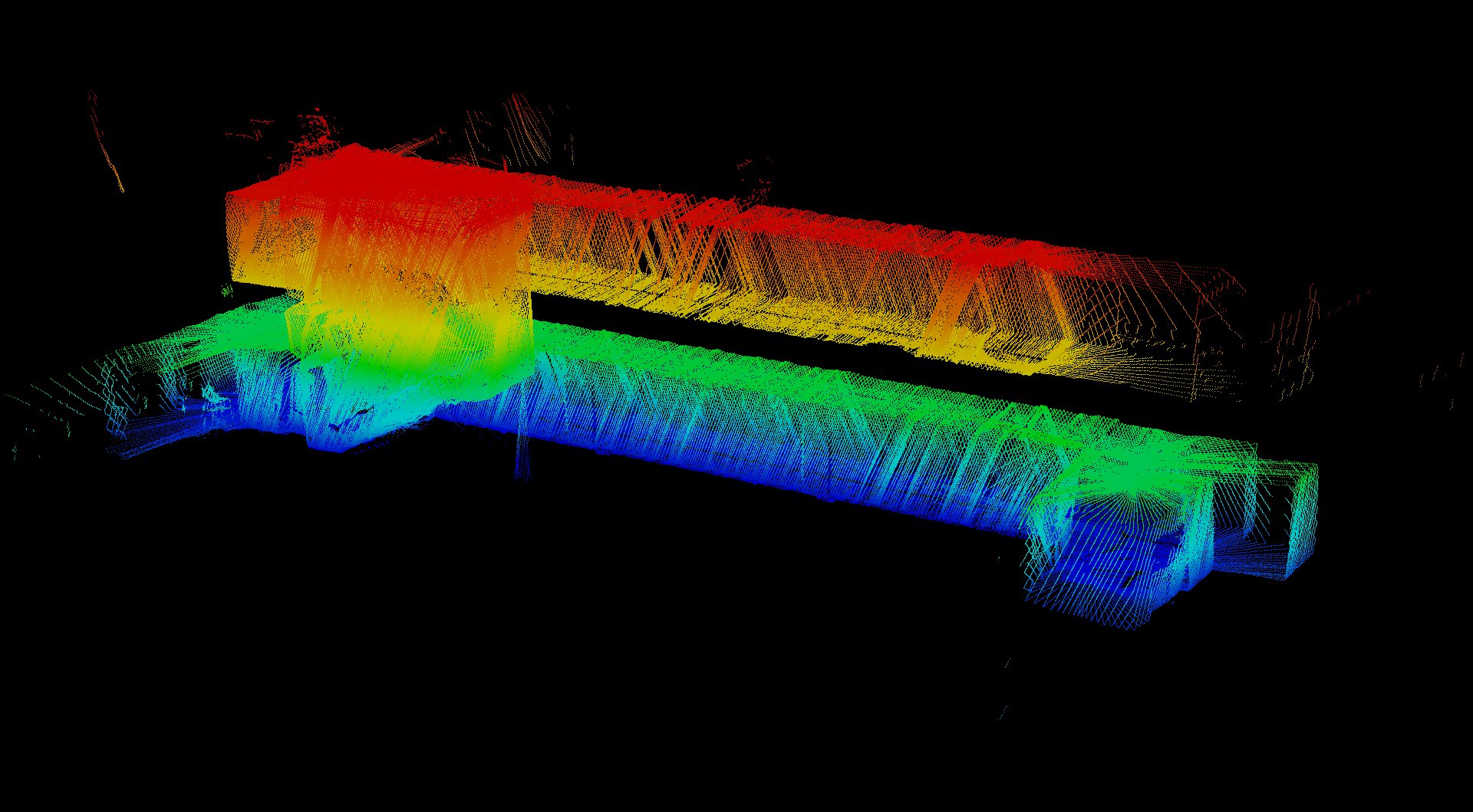
20110708_2Story_pointCloud1Positioning technologies for outdoor location-based services are pretty straight forward. Cell-ID, WiFI, GPS. But this is not that easy when it comes to finding your way indoors. Although the topic has been around for a while and every university and larger tech-company is working on it there are no common standards yet. Google has been using WiFi. Apple focused on Bluetooth 4.0. Nokia together with In-location Alliance has been developing some kind of hybrid solution. And many other companies are proposing different kinds solutions mostly based on proximity or triangulation.

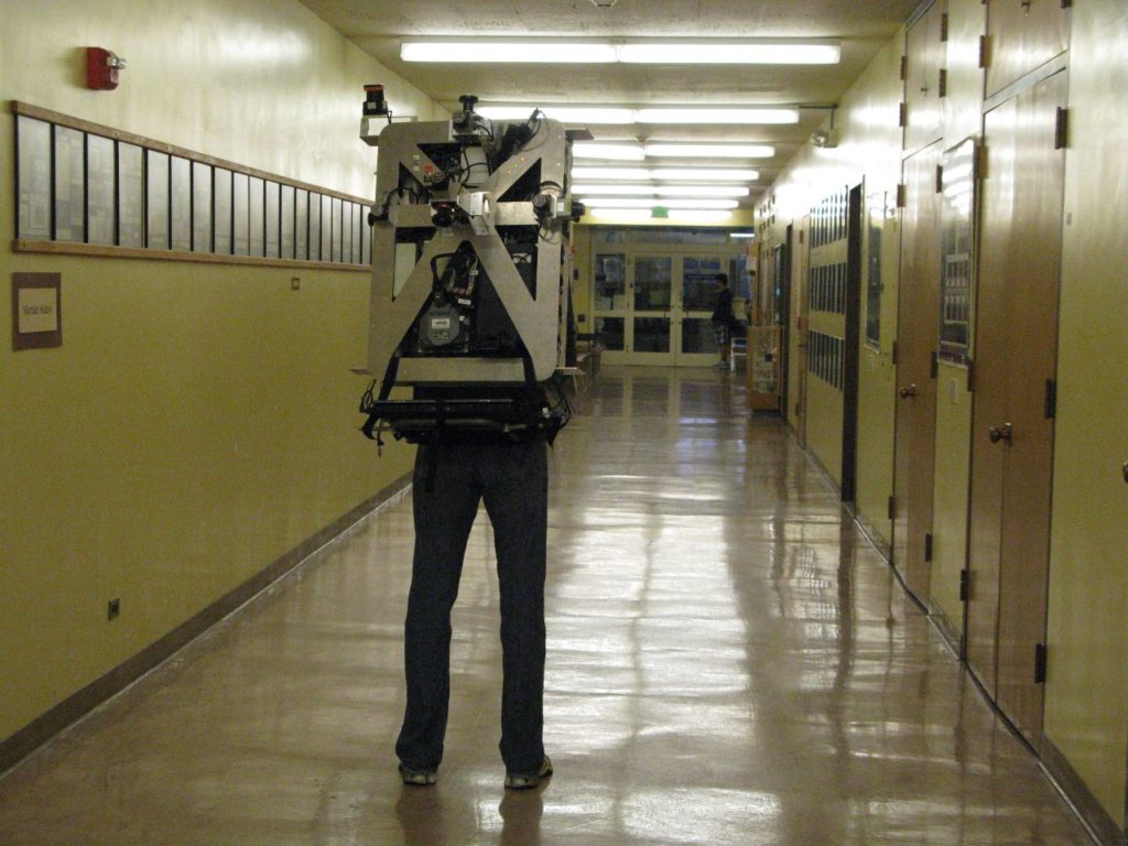
rick_backpack_hallBut it seems that there is another possibility… Researchers at the University California, Berkeley has developed a new method which uses a photo from a device’s camera to find the location and orientation of the device. The matching of the photo is performed against a database of panoramic imagery of a building’s interior, similar to Google’s Street View. So in fact the device recognizes the image in a database and the image has known location due to the capturing technology. The researchers are using technology similar to Google’s Trekker backpack to capture panoramic images and create a model of the building. Researchers says that during tests at the mall, they successfully matched more than 96 percent of images taken by a smartphone camera. When the matches were turned into location fixes, most came out with an error of less than a meter from the device’s true location.

ibeaconsThis method is clearly designed for solutions like Google Glass which lacks of GPS and WiFi sensors but it could be also used for augmented reality and indoor image geo-tagging for example by Facebook. The researchers claim that big advantage of the method is that it doesn’t require changing the environment in any way (placing Bluetooth iBeacons of WiFi routers). But from the other hand it requires the location to be Street Viewed which might be actually more expensive than setting up a few Bluetooth sensors. One thing is sure… The fact that recently Google started to capture indoor Street View suggests that the technology will find its way to mobile devices sooner than later.

Read on
Search