Dive into USGS’ massive database of seafloor photos, ‘Street View’ style

Over the past several decades, the US Geological Survey (USGS) has collected thousands of photographs and amassed hundreds of video hours capturing the country’s seafloor. From coastal California and Massachusetts to segments of the Gulf of Mexico and mid-Atlantic coasts, its treasure trove of data contains 100,000 photos and 1,000 hours of videos spanning around 3,200 kilometers of the US coastline.
Since these underwater and aerial datasets were collected as part of the Coastal and Marine Geology Program Seafloor Mapping projects and Hurricane and Extreme Storm research, for the longest time, only a few of these imageries and videos were publicly accessible. The scientific agency changed that by compiling its rich archive into the Coastal and Marine Geology Program Video and Photograph Portal.
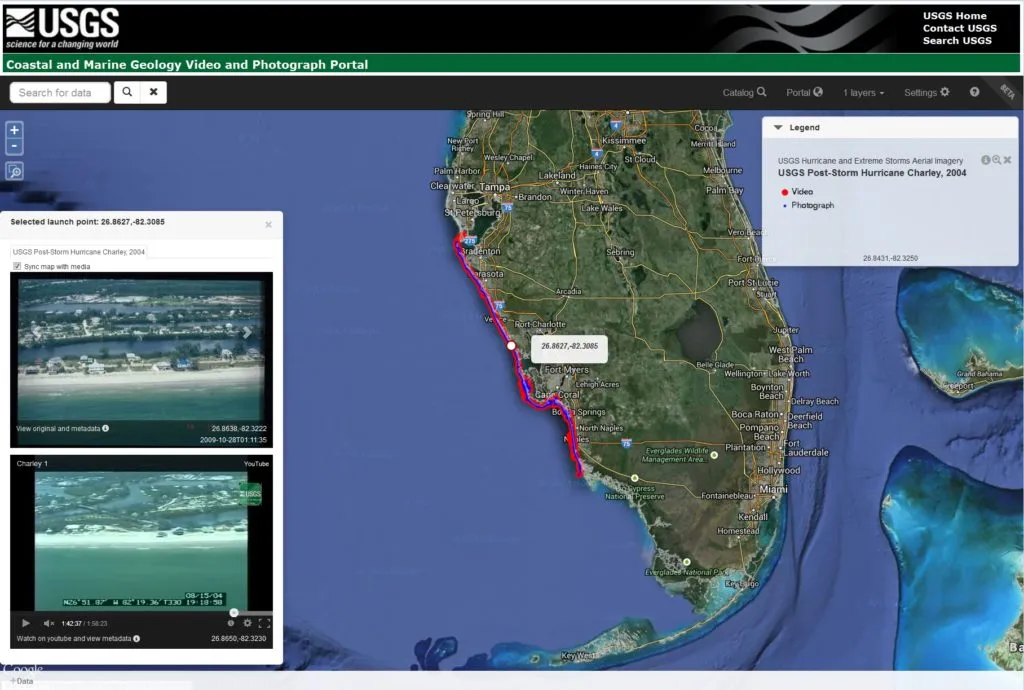
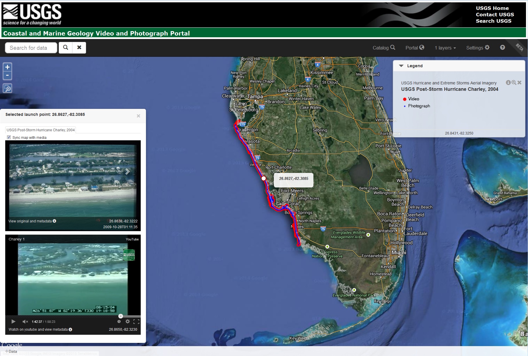
This easy-to-use, interactive portal gives you a Google Street View-style look into the rich geography of the US, with a choice between a satellite-view and basic black and white basemap. The areas available to browse right now include the Pacific, Atlantic, and the Gulf Coast, with special features on Hawaii, Washington State’s Puget Sound, and the Arctic, Puerto Rico, and mid-Atlantic Coast.
Zoom into an area of your interest and you will see lines where continuous video footage has been taken. The dots represent still photographs. If you click on a segment, the video will launch in a pop-up window, with pictures appearing alongside. If you want to explore the data quickly, simply hover the mouse cursor over any of these lines or dots representing the video or imagery, and you will see a pop-up preview of that data. All datasets include basic information, such as the lat-long, data and time of that photo or video. We recommend you click here to dive right in!


 While mobile dating apps may seem like a convenient platform to jumpstart your love life, they are also a dream destination for ambitious stalkers, a new study has found. Researchers at Kaspersky Lab have discovered so many security vulnerabilities in popular dating apps, it’s almost like they were serving user data over to criminals on a platter.
 The attack based on geolocation data weakness uses a function of mobile dating apps which shows the user’s proximity to other app members. Now, to be clear, the apps don’t reveal in which direction the user whose profile is being viewed is from a particular location. And the process of determining that by moving around the victim and recording distance data can be quite tedious.