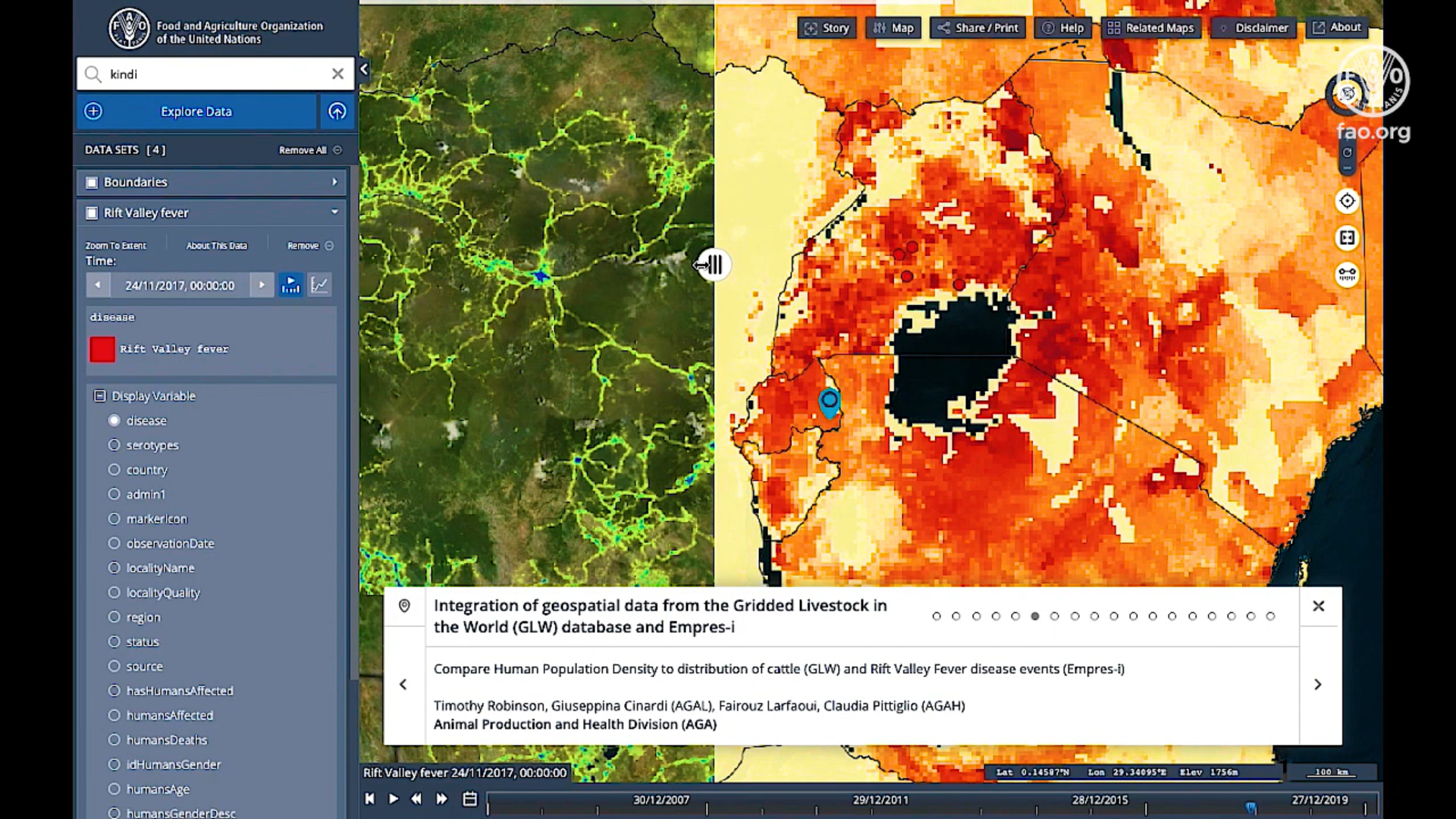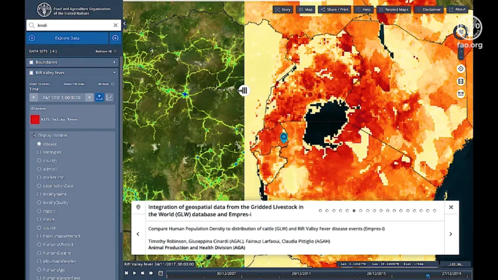
Snapshot from FAO’s geospatial platform
The Food and Agriculture Organization of the United Nations (FAO) has launched a new geospatial portal that would help to build more resilient food systems post COVID-19. Called Hand-in-Hand, the geospatial platform contains over 1 million geospatial layers and thousands of statistics with 4,000 metadata records for more than 10 food and agriculture-related domains.
FAO experts from multiple domains, right from Animal Health to Trade and Markets, have worked together to integrate data on soil, land, water, climate, fisheries, livestock, crops, forestry, trade, social, economics, etc., onto the platform.
The data has been sourced not only from FAO, but also the agency’s partners and other public data providers across the UN, NGOs, private sector, and space agencies. The portal also contains FAOSTAT data on food and agriculture for over 245 countries and territories from 1961 to the most recent years.
Anyone can access this platform to analyze trends and create interactive maps that would foster data-driven and evidence-backed decision-making in food and agriculture. Use cases could include:
- Analyzing precipitation trends
- Keeping tabs on agricultural water productivity and monitoring agricultural systems at risk due to human pressure on land and water
- Comparing human population density to the distribution of livestock species
- Ascertaining aquatic species distribution
- Analyzing information from national forest monitoring systems that understand the distribution of forest resources with other geospatial data such as the road network
Stressing that the portal will help to identify real-time gaps and opportunities in agriculture, FAO Director-General, QU Dongyu, says, “Geospatial technologies and agricultural data represent an opportunity to find new ways of reducing hunger and poverty through more accessible and integrated data-driven solutions.”
FAO plans to add new datasets and country- and domain-specific case studies also to the platform in the near future. This, FAO hopes, would help to encourage innovation, finance and investment, and institutional reform in food and agriculture through tailored policy intervention.
As FAO’s Chief Economist, Maximo Torero, sums up, “The geospatial platform will allow us to design more targeted agricultural interventions and investment plans through a territorial approach – an approach that fosters equality, inclusion and sustainable food and nutrition security.”
To explore the Hand-in-Hand Geospatial Platform, go here.


