Treepedia mapping project by MIT will tell you how green is your city
Trees make cities healthier and more livable. They help mitigate extreme temperatures, provide a natural respite from traffic, noise, and congestion, and improve the quality of life for those living in urban environments. They are a key part of any urban space but how to assess that your city is green enough?
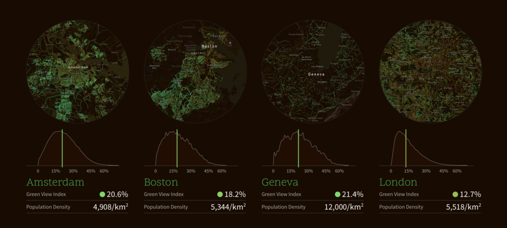
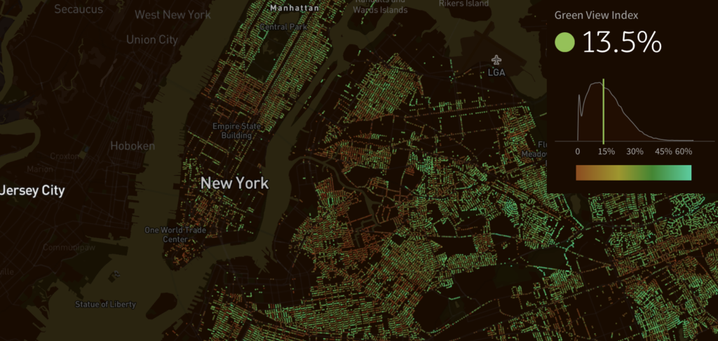
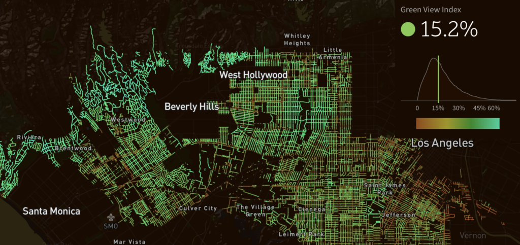
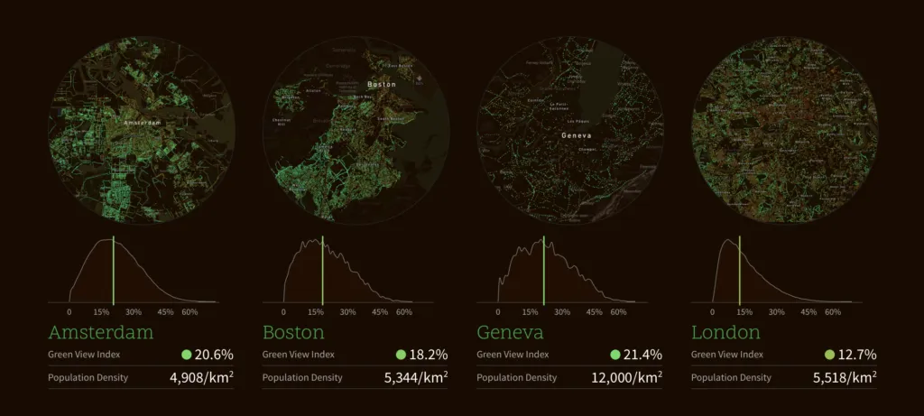
In order to do that researchers from MIT Senseable Labs partnered with the World Economic Forum to create Treepedia, a website with interactive maps that catalogues and compares the density of green areas in 13 major cities around the world.
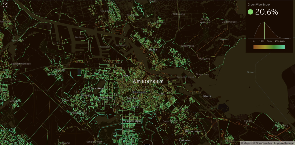
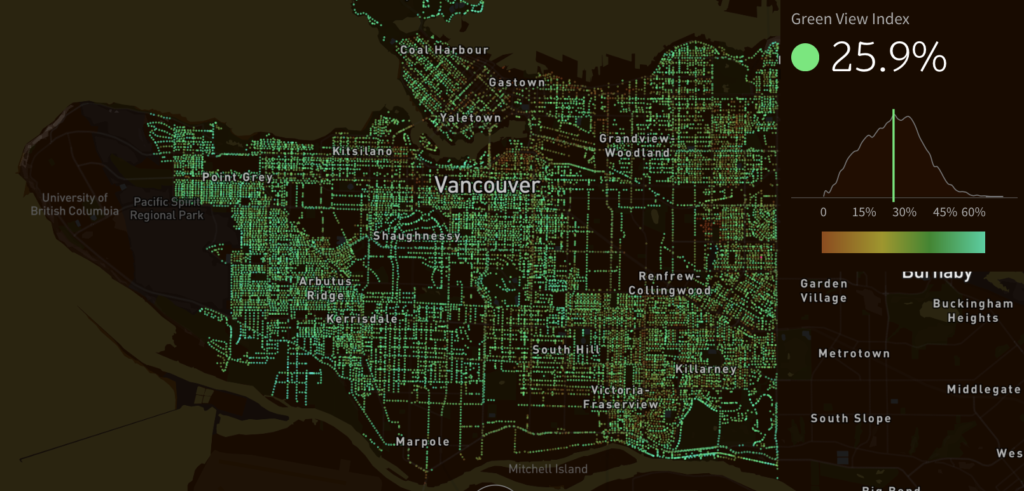
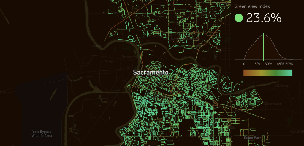
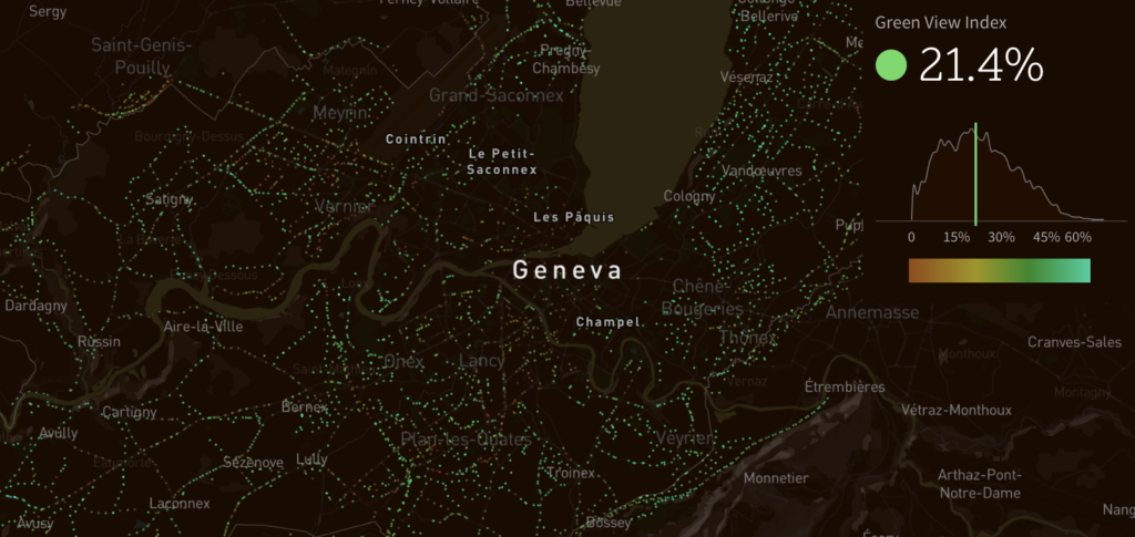
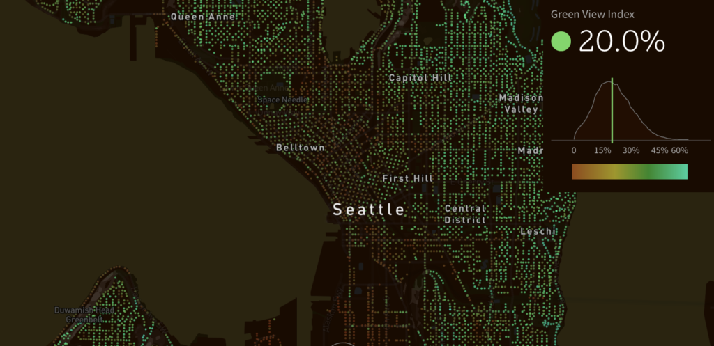
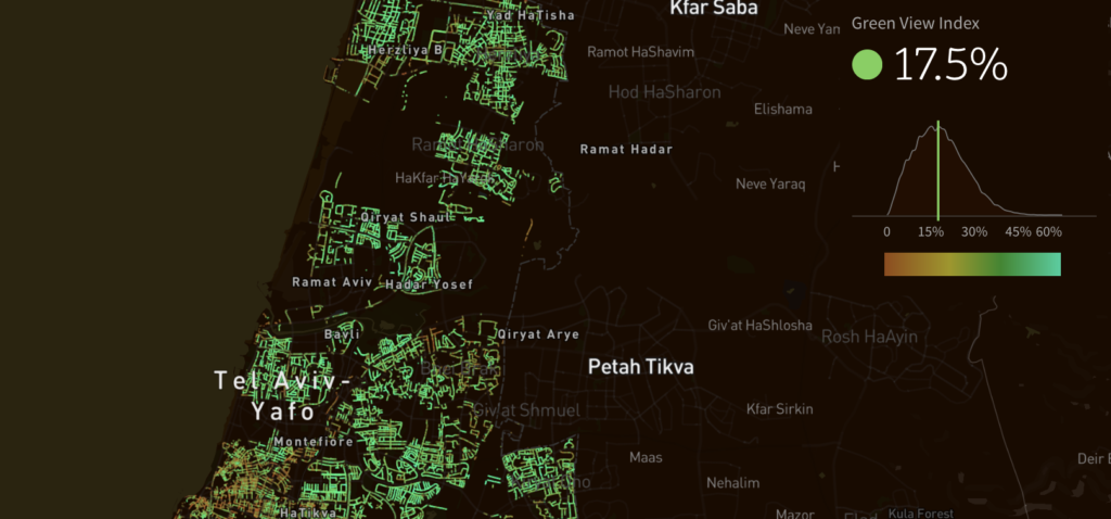
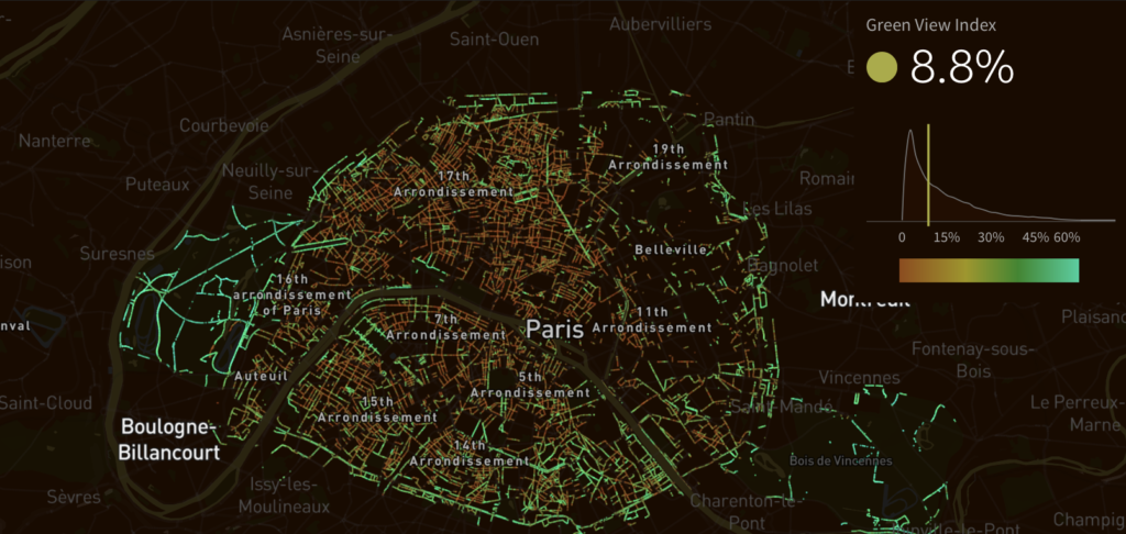
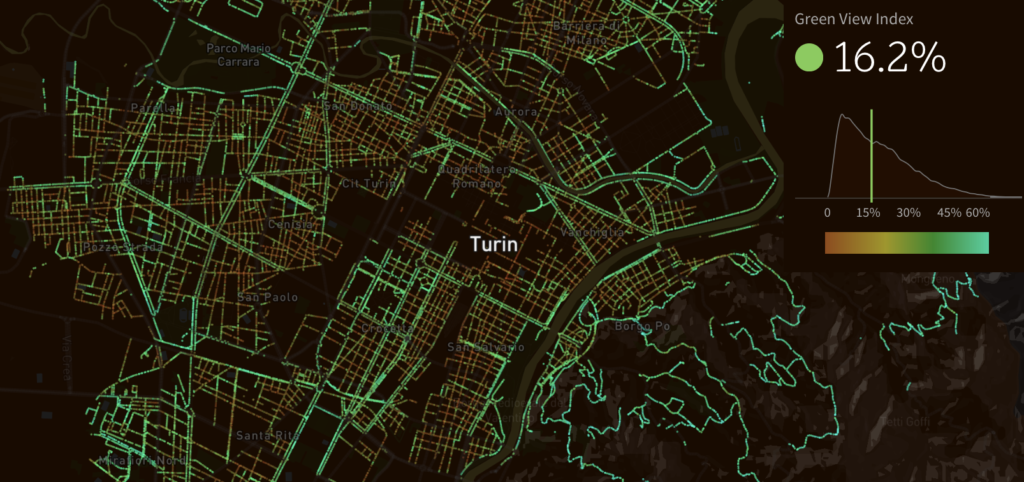
The data is based on the analysis of Google Street View panoramas. The researchers proposed a metric called the “Green View Index” that quantifies how many trees are there on every street. By using Street View rather than satellite imagery the index represent human perception of the environment from the street level. It can be used by cities to compare, evaluate and monitor the urban tree coverage and take actions to improve it.
The project has some obvious limitations. First of all the process of mapping the trees is not fully automated so the number of participating cities and therefore the impact of the project will be most likely limited. Secondly using Street View as a data source leaves out areas inaccessible to Google’s mapping cars (like private streets, parks and gardens, where most urban trees are concentrated).
In that sense the Green View Index is not directly reflecting the actual tree inventory of a city, but it’s a signal of how far a city has gone in greening its streets to their full capacity.
Here are profiles of the cities participating in the project:
Vancouver
Sacramento
Geneva
Seattle
Turin
 Toronto
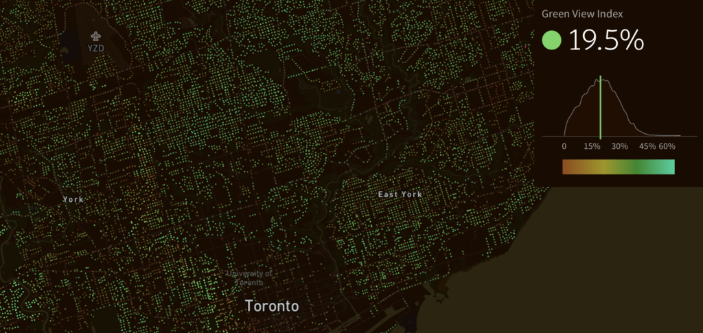 Tel Aviv
Paris
New York
Los Angeles


