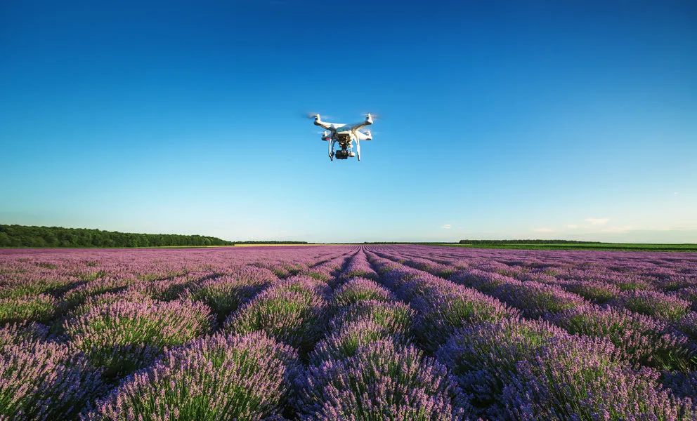

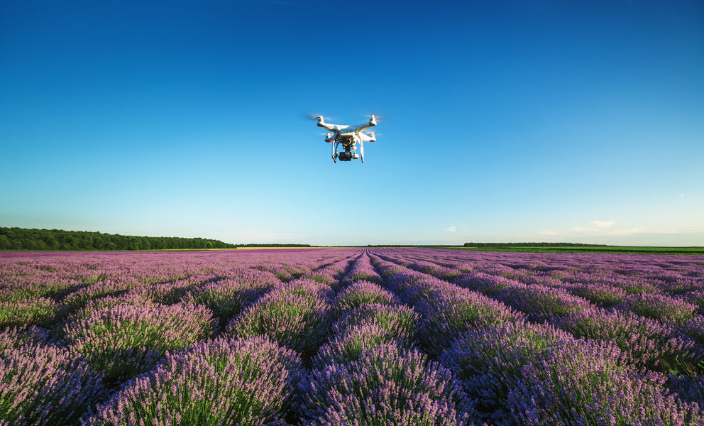
The ecosystem of unmanned aerial vehicles (UAV) is evolving so quickly that sometimes it becomes difficult for even industry insiders to keep up with all the developments. Take drone laws for example. On one hand, we have countries that have clearly-defined laws and regulations in place when it comes to commercial and recreational drone operations. On the other hand, drone laws are still taking shape in quite a few other nations. And then comes the major chunk of countries which are yet to start penning down regulations for safe and legal drone flying.
Commercial companies, of course, have enough resources at their disposal for due diligence, but what is a recreational user expected to do? Rummage around the Internet to find information about each country individually? Go to a travel forum and hope to find a reliable answer?
Not anymore! One handy app has already done this job for drone lovers. The app, DroneMate, collates all existing international rules for flying a hobby drone from every country in the world and labels them on a world map in a simple and convenient manner.
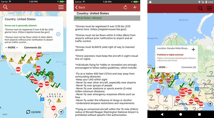
Created by a frequent flyer and tech blogger Anil Polat, DroneMate app is regularly updated from official sources to make sure that the information displayed is as accurate as possible. Moreover, it also lists down the state laws for the United States, as well as the drone rules from various tourist places across the globe.
Related: Paid FAA to register your hobby drone? Here’s how to claim a refund
“Earlier this year I bought a drone small enough to comfortably travel with, but quickly realized finding out the rules, regulations, and laws to abide by internationally were difficult,” Polat explains. “There’s a lot of online hearsay, misinformation, and people who tell you convincingly what the local recreational drone laws are but are often wrong. Filming with a drone might seem innocuous but flying a small aircraft and breaking the rules, even unknowingly, can get you in a lot of trouble.”
During his research on drone laws, Polat realized that people were having disparate experiences in countries where drone laws were either not being enforced or were being misinterpreted by local authorities. Which is why the app also has a comment section to allow users to share their experiences with fellow travelers and ask questions. The DroneMate map is also available offline, so you don’t have to worry about not having an Internet connection when you travel abroad. Bon voyage!


#Insights


Next article

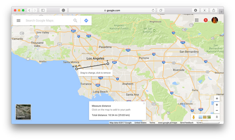
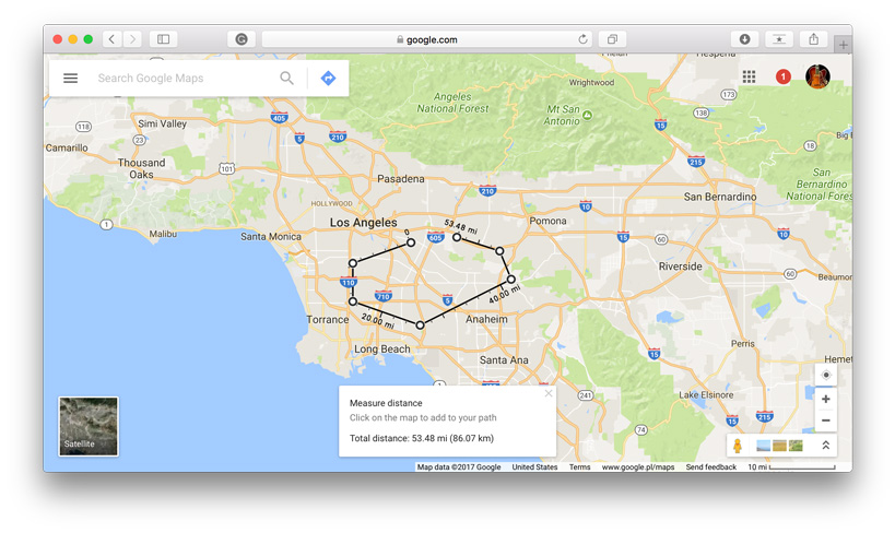
Google Maps has revolutionized the way we navigate and explore the world around us. While its primary function is to provide directions and location information, Google has incorporated various features that make it a versatile tool, even for tasks beyond simple navigation. One such feature allows users to measure distance between two or more points on the map, not just in terms of driving routes, but also in straight lines, regardless of roads or paths. This capability can be immensely useful for a wide range of purposes, from planning routes to assessing the proximity of locations. So, let’s find out together how you can leverage this tool to measure distances effectively.
1. Go to your starting point on the map, right-click and choose Measure distance.
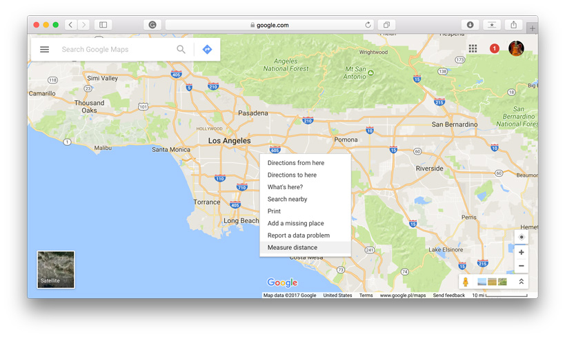 2. Click anywhere on the map to create a path you want to measure. At the bottom, you’ll find the total in miles (mi) and kilometers (km).

3. You can edit the path by dragging the points.
4. Add other points by clicking anywhere on the map. You’ll get the total distance of the path.
It’s that easy and it works also on iOS and Android.
Did you like this post? Read more and subscribe to our monthly newsletter!

