#Business #Featured

Survey of India’s geotagging app to help steer lockdown for 1.3 billion people

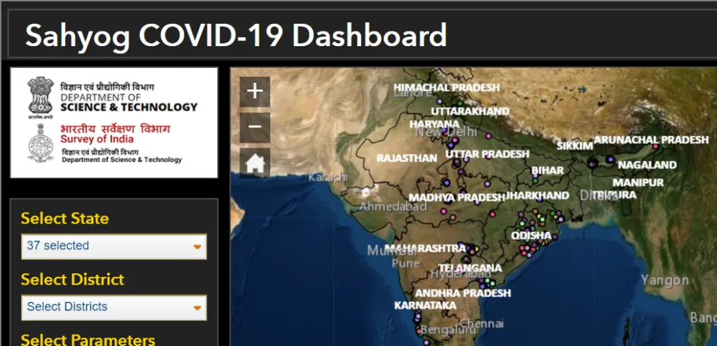
India’s nationwide coronavirus lockdown is the biggest in the world, and it will continue till May 3 at least. As the country of 1.3 billion citizens ramps up efforts to contain the spread of the novel coronavirus, its national mapping agency, Survey of India, has also joined the fight by adding a new geotagging feature to its mobile app called Sahyog.

The Sahyog app is being customized specifically to help the officials working in the COVID-19 war rooms across the nation. Focusing particularly on the localized delivery of healthcare services, the app would allow volunteers and COVID-19 foot soldiers to feed geotagged information to the platform.

Don’t miss: Facebook creates COVID-19 symptom tracking map

So, for instance, if the coronavirus pandemic war room officials need the exact location of all entry and exit points of a containment zone or if they want to know the area size of empty hotels that can be converted into makeshift quarantine centers, the Sahyog app could help them do that.

“We’ve looked at the guidelines of the health department to put together all the information that is needed for effective delivery of health services,” Pankaj Mishra, Deputy Surveyor-General, Survey of India, said in an interview. “For example, if they require information on the number of hotels and banquet halls in an area, the public databases already have around 70 percent of this data and our officers can do location tagging for the rest. The revised map will be available to the war room personnel within eight to 10 hours.”

Also see: Google releases users’ location data to show COVID-19 lockdown impact

The Sahyog app will complement the Indian government’s contact tracing app, Aarogya Setu, which uses Bluetooth and location-tracking features to inform users if they have come across any COVID-19 confirmed person or those suspected of the novel coronavirus disease.
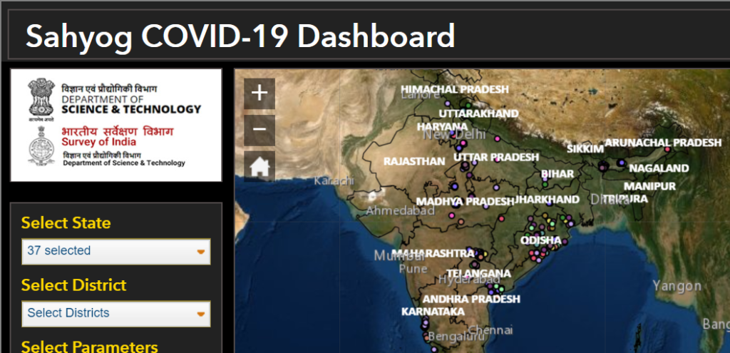
survey of india covid 19 app sahyog

The updated Sahyog platform is initially expected to strengthen the public health delivery system of the State and Central governments and subsequently provide the necessary geospatial information support to citizens and agencies dealing with the challenges related to health, socio-economic distress, and livelihood challenges, an official press release by the government explained. “The mobile application has been customized to collect COVID-19 specific geospatial datasets through community engagement to augment the response activities by the government to the pandemic,” it said.

Now read: Nighttime satellite images of China reflect COVID-19 lockdown impact

Say thanks for this article (0)
The community is supported by:
Become a sponsor
#Business
#Business #Ideas
Urban Digital Twins in China: A Smart Gadget or a Decision Support Tool?
Nianhua Liu 03.28.2024
AWESOME 4
#Business #Environment #Ideas #Satellites
China’s Smart Agriculture Boom Has Tech Potential but Requires Affordable Solutions
Nianhua Liu 05.9.2024
AWESOME 3
#Business #GeoDev
3 Pathways For Integrating Planet Data Into Your GIS Workflow
Avatar for Sponsored Article
Sponsored Article 08.12.2024
AWESOME 1
Next article
#Business #Featured #Ideas

NASA has a video game to map coral reefs around the world

nasa coral reef video game

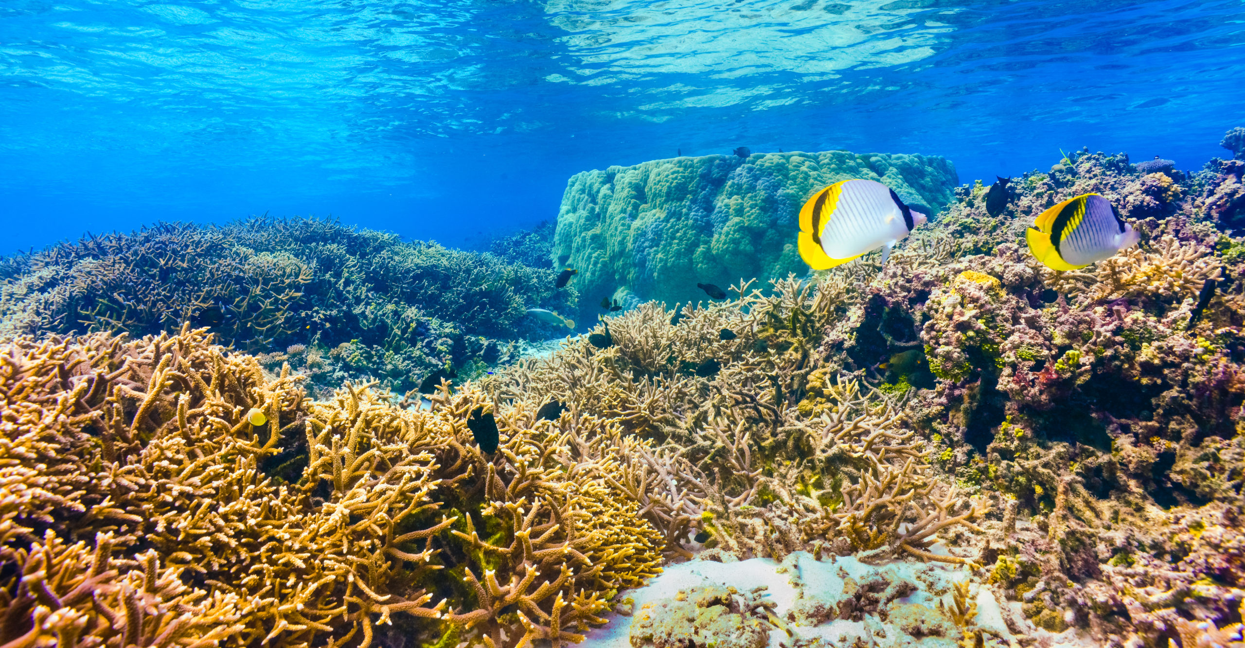
A coral reef in American Samoa, one of the locations where researchers from the Laboratory for Advanced Sensing went on deployment to collect data using fluid-lensing instruments.
Credits: NASA/Ames Research Center/Ved Chirayath

Did you know that coral reefs provide homes for as many species as a tropical rainforest? A poster-child for nature-based tourism, these large underwater structures are among the most complex and diverse ecosystems on the planet.

However, rising ocean temperatures, pollution, overfishing, coastal development, and ocean acidification have triggered a global coral crisis. Scientists want to help, but they need more data to understand how the stress of human activities is affecting these marine systems. They need a comprehensive map of the world’s coral reefs, and only 4% of the ocean floor is currently mapped.

Which is why researchers at NASA’s Ames Research Center in California have spent the last few years developing cameras that can look below the ocean surface in more detail than ever before. Using complex calculations to undo the optical distortions created by the water over coral reefs, these sensors are sturdy enough to be mounted on a drone or aircraft flying above a water body.

NASA has already sent these cameras on expeditions to Puerto Rico, Guam, American Samoa, and elsewhere to collect 3D images of the ocean floor, including corals, algae and seagrass.

Also see: Take a virtual trip to 600 locations, including the Great Barrier Reef, on Google Earth Voyager

Now, NASA has a ton of data, but that data is no good until someone combs through the images to identify and classify everything that’s in them.

This is where you come into the picture.

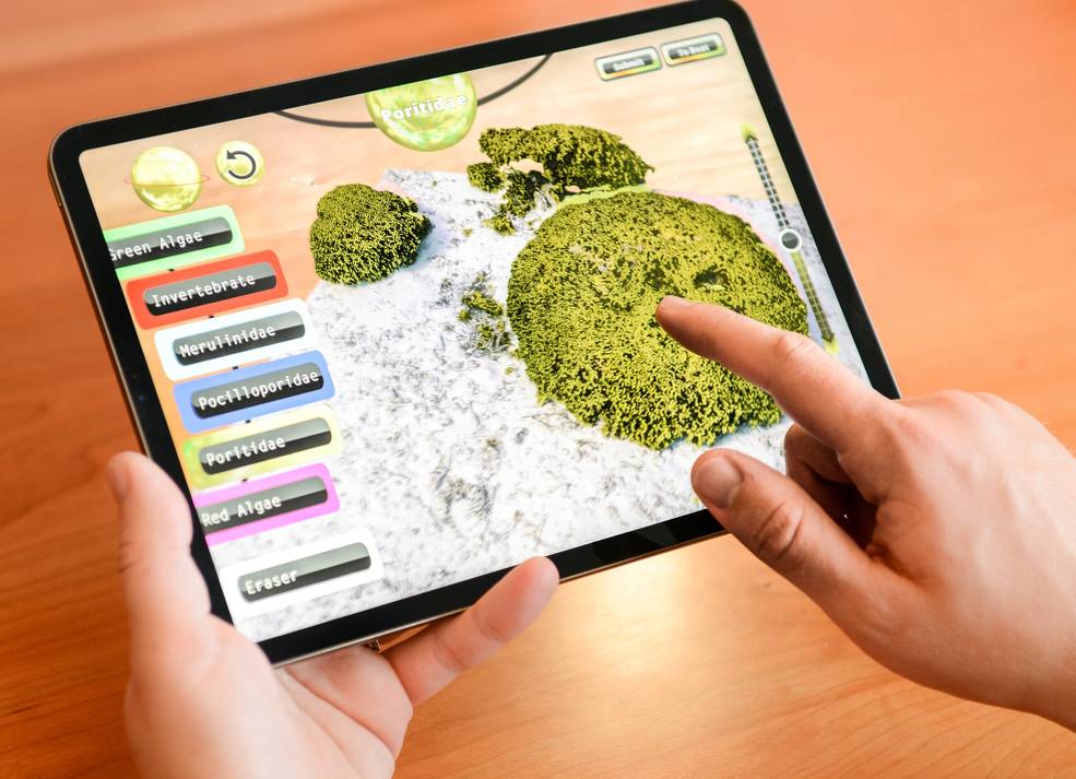
NASA has created a video game, NeMO-Net, that allows iOS and Mac users to virtually ‘dive’ to the ocean floor in a research vessel called the Nautilus and spot and categorize the corals. (An Android version is in the works, we are told.)

nasa coral video game

A user playing the new NeMO-Net game that helps NASA classify the world’s coral from their own home
Credits: NASA/Ames Research Center/Ved Chirayath

The game is connected to a machine learning neural network. The more people play, the more NASA’s supercomputer Pleiades learns, ultimately bettering its mapping capabilities and classifying corals on its own. Once it has been able to accurately classify corals from low-resolution data included in the game, the supercomputer will be able to map out the world’s corals at an unprecedented resolution. With that map, scientists will better understand what is happening to corals and find ways to preserve them.

As Ved Chirayath, the Ames Principal Investigator who built neural network, puts it, “NeMO-Net leverages the most powerful force on this planet: not a fancy camera or a supercomputer, but people. Anyone, even a first grader, can play this game and sort through these data to help us map one of the most beautiful forms of life we know of.”

You can find the Mac version here and iOS version here. Game, set, dive?

Read on
Search