#Business

Rugged drones to study volcanoes for NASA

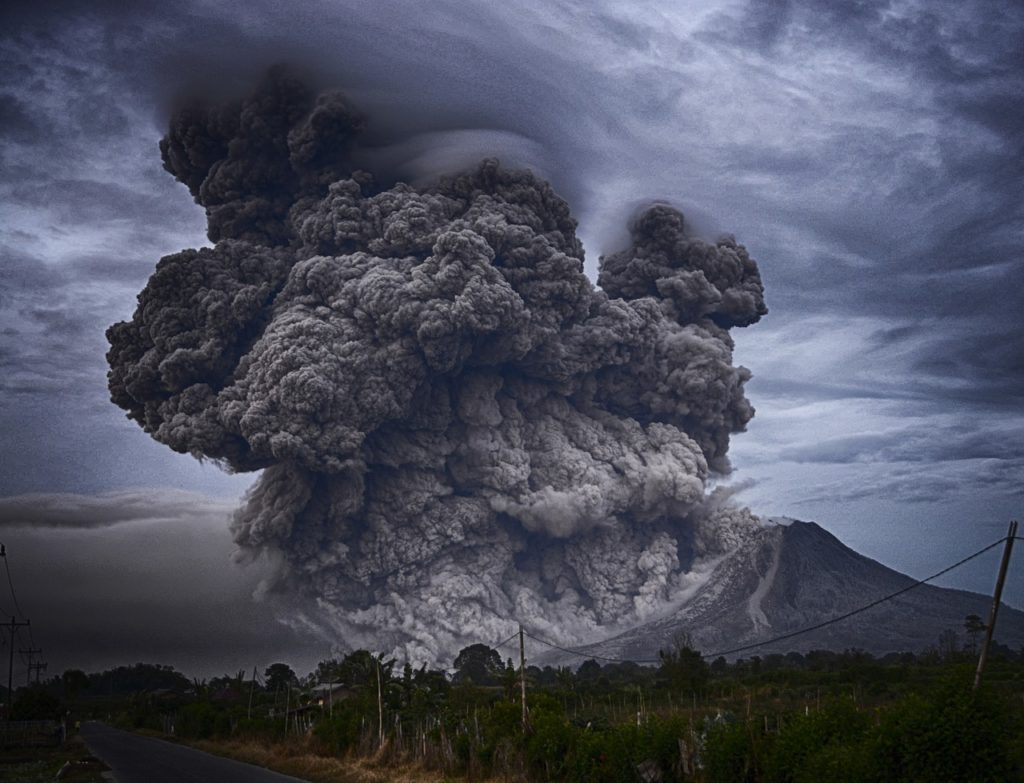
Drones are amazing. There are no two ways about it. We have already told you how drones are being used to deliver packages, detect weed in agricultural fields, updating map data faster, keeping an eye on your home from inside out, mapping light pollution, fighting against wildlife crime in Africa… The list goes on because people keep finding new and new uses for the UAV industry. Now, NASA plans to augment its airborne science fleet with drones that would explore volcanoes and take accurate ashfall measurements.

Why ashfall measurement?

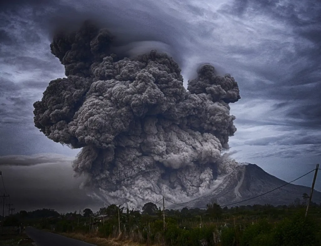
We all remember the ash plume from the Icelandic volcano Eyjafjallajoekull that shut down airspace in Europe in 2010, and lead to $1.7 billion in losses. The reason why ash clouds pose an air safety risk is because the ash from a volcano is nothing like what a campfire would leave behind. It is made up of solid debris with jagged edges that can severely affect aircraft engines and clog fuel nozzles.

Why drones?

Though NASA currently takes in situ measurements of volcanic sites through the ground sensors and drop sondes, they come with their own set of limitations. For example, seismometers, tiltmeters, in-ground gas monitors and near-field remote sensing instruments have limited measurement density and can only give information about atmospheric boundary conditions. Drop sondes are restricted to sampling over a small time period. Even satellite-based data is constrained by the frequency of data collection.

Therefore, a durable, terrain-following drone which is specifically engineered for harsh environments is exactly what NASA needs to measure ashfall shortly after the eruption. NASA will be using a drone and a flight management system developed by US-based Black Swift Technologies for this project, for which it is paying the company $124,849.

The SuperSwift XT drone developed by Black Swift would collect data on coherent atmospheric structures such as smog, volcano plumes, wildfire smoke, chemical fires, forest humidity, etc. This drone can also be used by the private industry to study the composition and relative danger of chemical fires at refineries or to assess the safety of firemen at the site of wildfires.

Say thanks for this article (0)
The community is supported by:
Become a sponsor
#Business
#Business #Environment #Featured
Unlocking the Future: Key Trends in Geospatial Technology for 2025
Aleks Buczkowski 12.25.2024
AWESOME 4
#Business #Featured
How 15 Centimeter Satellite Imagery is Changing the Mapping Game
Aleks Buczkowski 12.2.2024
AWESOME 6
#Business #Featured
Global Top 100 Geospatial Companies – 2024 Edition
Avatar for Muthukumar Kumar
Muthukumar Kumar 01.31.2024
AWESOME 10
Next article
#Business #Ideas

Google is testing indoor positioning technology through Tango devices

project tango google

Google’s I/O developer’s conference always packs in a lot of punch and this year was no exception. The company made a host of announcements but the one that really got our attention is this – Google is developing an indoor location positioning technology based on its Tango augmented reality (AR) system.

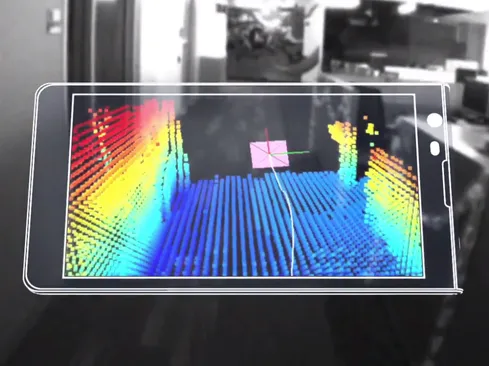
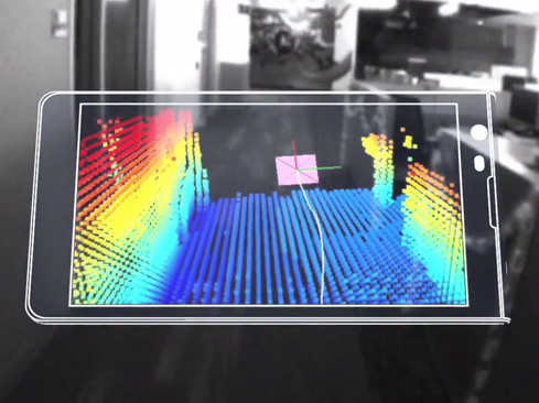
This new piece of technology is called Visual Positioning Service (VPS). It will allow a mobile device to swiftly and accurately understand its position indoors, just like satellites help you to navigate your way through a map when you are outdoors.

Google’s Vice President of Virtual Reality Clay Bavor explained VPS at the I/O event giving the example a shopper who is looking for a particular item in a large superstore. Using visual clues from distinct features in the room, a Tango-enabled phone would be able to recognize where it is in space by comparing new points captured by its camera with previously observed ones. Google says this technology is accurate down to a few centimeters. In Bavor’s words, “GPS can get you to the door. And then VPS can get you to the exact item that you’re looking for.”

Google is already testing the technology in partner museums and select Lowe’s hardware stores in the US. But the use cases for VPS aren’t limited to just navigating through large spaces. Bavor mentioned how the technology will aid visually-impaired people to navigate through the world by combining precise location enabled by VPS with audio interfaces.

The company didn’t mention an official launch time for VPS, but we are really excited to see it in action! The first Tango device, Lenovo’s Phab 2 Pro, came out last year. And the next phone with Tango technology, ASUS ZenFone AR, will go on sale this summer.

Read on
Search