As we inch closer to the rare act of cosmic providence which is expected to be “the most photographed, most shared, most tweeted in human history,” here are a few things you should know about the Great American Eclipse of 2017.
1. Why does everyone in the United States seem so obsessed with the solar eclipse?
Well, they should be. It’s the first time in 99 years that a full solar eclipse is going to cover the US from its East coast to the West.
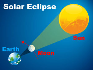 2. But, what is a solar eclipse?
The easiest way to understand the solar eclipse is through basic geometry. The moon orbits between the sun and the Earth. When the moon reaches an angle where – as seen from a particular location on Earth – it looks like it is blocking the sun, that phenomenon is called a solar eclipse.
3. What happens during a solar eclipse?
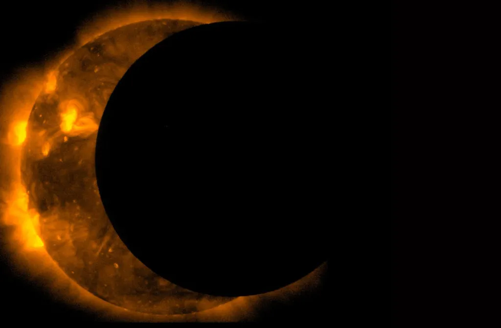
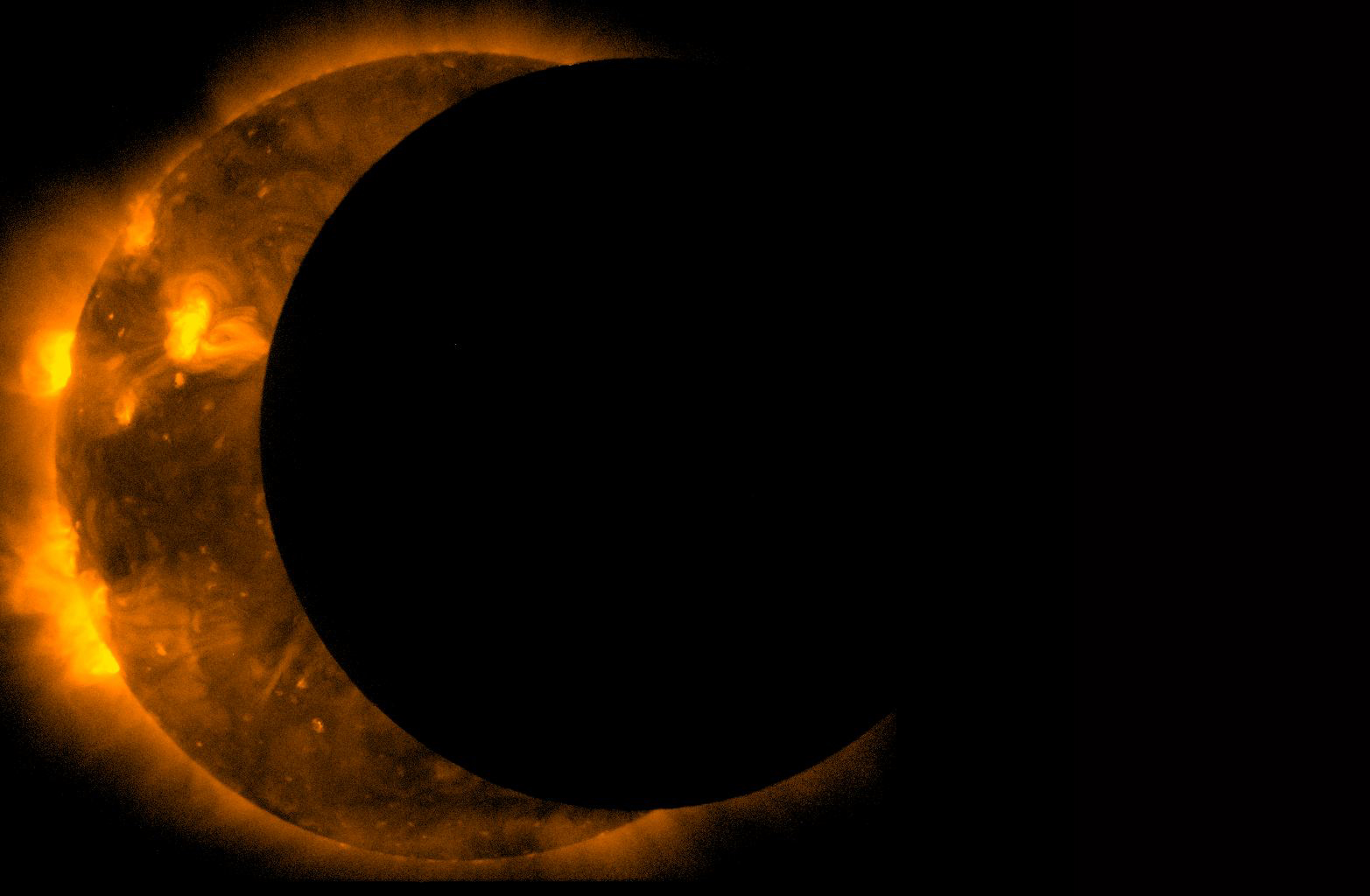
The moon casts a dark circular shadow over the earth. This shadow moves at a speed ranging from 1,500 miles per hour to 3,000 mph. At its core, the shadow is so dense that the places where it is falling become completely dark. At these places, it seems like nighttime, even in the middle of the day (which is especially confusing for animals). The whole thing is quite spectacular really… looking at the sun’s atmosphere glowing around the edge of the moon…
4. Are the sun and the moon the same size?
They aren’t. The moon orbits at a distance of 385,000 kilometers from Earth. Astronomers attribute it to sheer luck that at this distance the moon looks almost the same size as the sun. In reality, the sun is 400 times the moon in size, and almost the same distance away from it.
5. And the moon always covers the sun completely during a solar eclipse?
No, there are three types of solar eclipses. The first is visible only from a small portion of Earth’s surface. The places which fall in the middle of the moon’s shadow (called the umbra) witness a total solar eclipse – complete darkness. For this solar eclipse, the path of totality in the US is about 70 miles (113 kilometers) wide. It would begin at Lincoln City, Oregon, and move all the way through 14 states and 21 national parks to end at Charleston, South Carolina.

As the moon moves, it would cast another shadow on earth (known as the penumbra). This shadow is larger and blocks out only a part of the sun. The people in this area would see a partial solar eclipse. It looks like as if the moon were taking a bite out of the sun!
The third type is the annular solar eclipse. It happens when the moon is so far away from the Earth that it is unable to block out the sun, even though the celestial bodies are in a direct line. So, you see a dark disk on top of the sun, which essentially looks like a ring around the moon.
6. How long will the Great American Eclipse last?
Though the path of totality will get over in 2 minutes and 40 seconds, the eclipse on a whole will last for some 90 minutes.
7. How often do solar eclipses occur?
Solar eclipses usually happen only once every 18 months because the heavenly bodies need to line up just right. On an average, the Earth witnesses two to five solar eclipses every year.
8. When will the US see the next total solar eclipse?
Luckily, you won’t have to wait for 99 years for the next one. Mexico will witness a total eclipse in 2024, which will move through Texas and 13 other states, and will even give Canada its moment of the full eclipse awesomeness.
9. So, how do I see the solar eclipse?
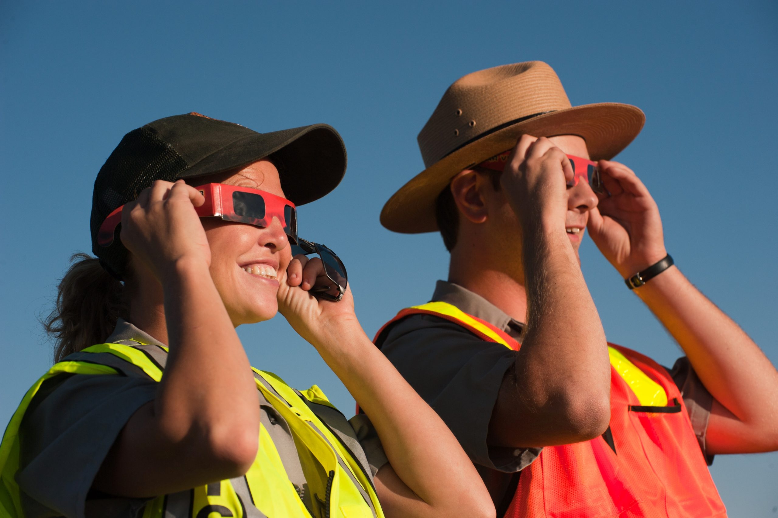
With adequate protection. You must not look at the sun directly during a solar eclipse; it can cause enough damage to make you go blind. The only time it is safe to look at the sun directly is during the fleeting moments when it is completely covered by the moon. And remember, you will need to get special eclipse glasses, your normal sunglasses are just not cut out for this job.
10. What about those who are not in the US? How do they see the eclipse?
Twitter has joined forces with The Weather Channel to live stream this magnificent event. NASA is providing real-time footage of the eclipse, while The Weather Channel’s network of storm trackers will dole out high-res drone footage. You can also watch the live stream for this extraordinary celestial event directly through NASA. The space agency will have 11 spacecraft, at least three aircraft, more than 50 high-altitude balloons, and the astronauts aboard the International Space Station reporting from their unique vantage points.
Now see: Top 11 maps that explain Total Solar Eclipse


