Planet preparing to offer 50cm imagery, more spectral bands

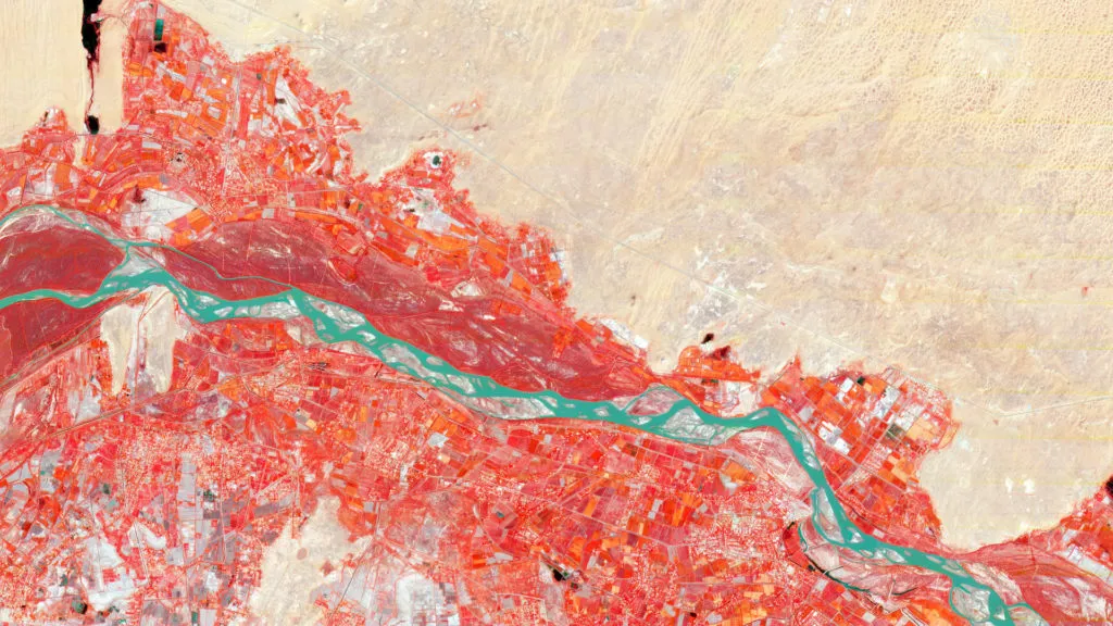
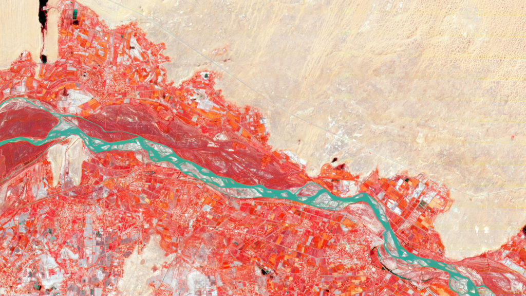
Next Generation PlanetScope includes more bands, which can help in the study of plant health; it also helps to unlock the potential for advanced analytics. Courtesy: Planet
The designer, manufacturer, and operator of the largest constellation of Earth imaging satellites, Planet, is preparing to offer its highest-resolution imagery yet: 50cm.
At its recent annual conference, Explore, Planet CEO and Co-Founder Will Marshall detailed how the geospatial company was building this future capability by lowering the orbit of an existing SkySat satellite – which currently provides data at 72cm resolution.
If the tests on this satellite go well, all 15 units of the SkySat constellation will be lowered, and 50cm imagery will be made available to customers by the first half of 2020. With ultra-fine resolution making object identification easier, the company hopes to cater better to its energy, mining, finance, and security clients.
The other major announcement from Marshall centered around the company’s flagship monitoring solution, PlanetScope. At present, PlanetScope imagery has four spectral bands – red, green, blue, and near-infrared. This imagery is available at a resolution of 3mt.
Marshall’s plan is to move into an eight-band system by early 2020. For this, the company is banking on the latest iteration of its Dove satellite – the SuperDove. According to Marshall, new sensors on SuperDoves are enabling higher image quality with sharper, more vibrant colors and accurate surface reflectance values for advanced algorithms and time-series analysis.
In other news, the company’s deep learning platform ‘Planet Analytic Feeds’ is also now out of beta and ready for more updates. In the coming weeks, Planet will add ‘Change Detection’ capabilities to the product to enable customers to focus resources on places where change has recently occurred. For example, if a customer detects unusual activity, they can ask Planet for higher-resolution imagery of that area via its SkySat satellites. It should be noted that the San Francisco-based company is already offering Road Detection, Building Detection, and Vessel Detection Feeds in this product.


 Featured Job: Fullstack Developer at Mapz