When you search for a precise road network data for GIS analysis you would go to TomTom or HERE. But what happens when you need a global geographic data of a lower granularity, but proven quality and you don’t have millions to spend? The answer is simple, you go for ADC WorldMap.
The makers of ADC WorldMap, American Digital Cartography, Inc., have been a leader in providing digital map data for over 25 years and the latest version of ADC WorldMap, v7.2, was released today.
Joe Roehl, Vice President of ADCi states, “We are excited about the latest release ADC WorldMap – we have enhanced many features based on customer requests.” Roehl adds, “Version 7.2 adds a new World Nations Line layer and improves many features such as up to date Administrative boundaries over the entire world.”
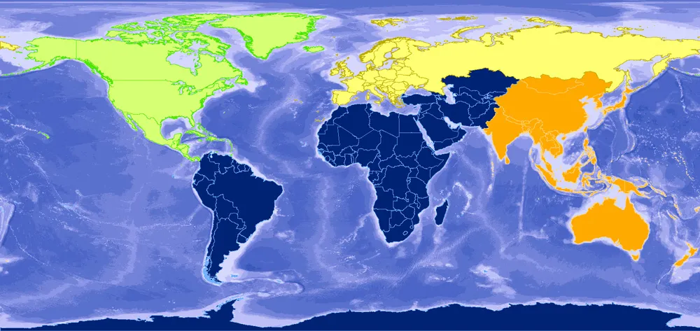
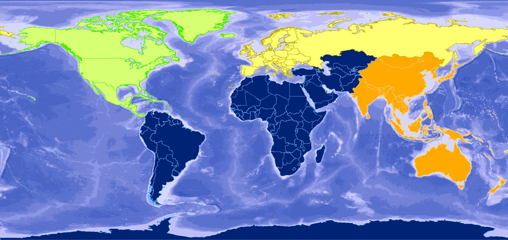
ADC WorldMap is a geographic database featuring 43 detail rich layers and tables. The baseline for the whole dataset is the most current country and political boundaries for the entire world and second level administrative boundaries for 130 countries. Moreover, the product features:
- Over 39,000 polygons in the World Admin 2 layer
- Worldwide data at a 1:1,000,000 map scale
- NEW – World Nations Line layer
- Over 200,000 POIs
- Over 425,000 cities in the World Cities layers
- Localized names in the World Admin 2, World Admin 1 and World Nations layers
- Generalized World Nation and World Admin 1 layers
ADC WorldMap is available in a variety of file formats including .shp, .gdb, .tab and Oracle 11g.
You might think that couple of companies offer more detailed datasets… Indeed, but ADC WorldMap is the only one that combines price and data consistency for an all-around premier value. Dataset of a comparable scope from TomTom or HERE would cost between 10-100 times more depending on your needs.
In theory one could argue that this data could be extracted to GIS format from the OpenStreetMap but there are couple of problems with that. First of all the quality and granularity of user generated OSM data are unknown and not guaranteed which might be important for your project. Secondly taking into account time and computing power requirements to extract, filter out and analyze continuity of layers needed, will cost you much more than licensing of the ADC WorldMap. I did such an exercise for a single European country couple of years ago and it took me two weeks… Doing it for the whole continent or world would take much longer than that.
So if you’re searching for a global or a continental dataset at this scale ADC WorldMap is the best choice.


