#Business #Featured

Mapbox acquires MapData to help build its AR based Maps SDK

It’s been less than a month since Mapbox announced it’s mammoth $164 million funding round led by Softbank (Read: Softbank leads $164 million Series C funding) and the mapping company has announced today that it is acquiring MapData, a neural network-based map SDK company based out of Minsk, Belarus.

Doubling down on AR Maps

Mapbox acquisition of MapData is motivated by the engineering talent behind the latter. Mapbox is planning to open a new office in the city and hire more people to support their efforts in deep learning, computer vision, and self-driving vehicles together with the MapData team.

How excited is Mapbox really about the new iPhone?

On a side note: If there is one mapping company that is super excited by iPhone X and AR Kit it is Mapbox – what more proof do you need than Eric’s blog about “Mapbox in Minsk” where he mentions this in the like the second paragraph of the announcement

“As the device bezels fade away, front-facing cameras and navigation displays need to merge. Drivers should see an augmented reality, with directions showing up in front of where they need to turn. Phones will be the heads-up displays of the future without the need for expensive hardware.” – Eric Gundersen, Mapbox CEO

A new SDK for AR based Maps?

In an interview with TechCrunch, Eric Gundersen, Mapbox CEO is reported to have said that the team behind MapData will help build their next big product, i.e. an SDK that will let developers build augmented reality-based maps into their apps that will work by way of the front-facing cameras on people’s devices. The SDK is set to be launched by Q1 2018. (Link to TechCrunch article). The SDK will primarily serve the needs of the gaming and the navigation industry which is already using Mapbox’s services.

Interesting times for the mapping industry!

Say thanks for this article (0)
The community is supported by:
Become a sponsor
#Business
#Business #Environment #Featured
Unlocking the Future: Key Trends in Geospatial Technology for 2025
Aleks Buczkowski 12.25.2024
AWESOME 8
#Business #Featured
Global Top 100 Geospatial Companies – 2024 Edition
Avatar for Muthukumar Kumar
Muthukumar Kumar 01.31.2024
AWESOME 10
#Business #Featured
How 15 Centimeter Satellite Imagery is Changing the Mapping Game
Aleks Buczkowski 12.2.2024
AWESOME 8
Next article
#Ideas #Science

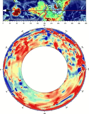
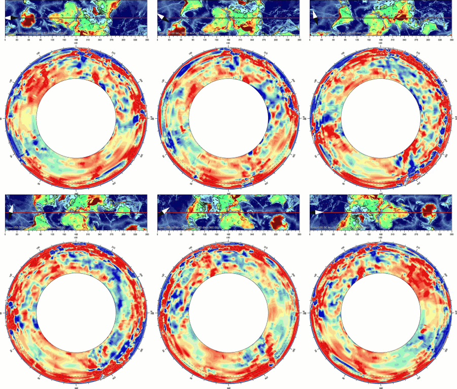
The Atlas of the underworld is the first complete map of Earth’s mantle and its evolution

Plate tectonics is a fascinating concept – it’s amazing to see how our planet has changed over the course of millions of years all due to movement of the tectonic plates at the rate of a few centimetres each year. Mountains arise where none existed, Continents drift apart, and Volcanoes are created all because the plates move few centimetres each year!

The Atlas of the underworld is the first complete map of Earth’s mantle and the evolution of the tectonic plates over the last 300 million years. The Atlas is the result of a 17-year effort by a team of researchers from the Utrecht University, who published their research in the journal Tectonophysics.

Mapping the Earth’s Underworld

“Now we can trace not only how plates move over the surface, but how they sink to the core-mantle boundary,” That’s the cool thing for me—we can learn about the physics inside the Earth. You may think that plates that sink deep into the mantle just melt—but in fact, they stick around for a long time and can sink as deep as 3,000 kilometers [1,860 miles]” – Douwe van Hinsbergen from the University of Utrecht in the Netherlands to Gizmodo.

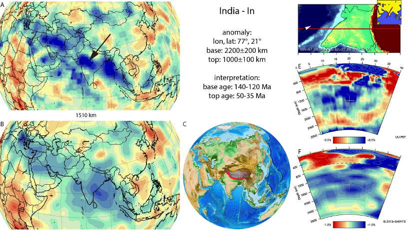
Scientists mapped the earth’s underworld into various tectonic slabs using seismic tomography. Thankfully, all the data behind “Atlas of the underworld” is openly accessible, and in the portal, researchers have categorised images of the tectonic slabs according to their name, age, depth and location. If you are interested in viewing the different tectonic plates by location – here’s the link to the map.

Read on
Search