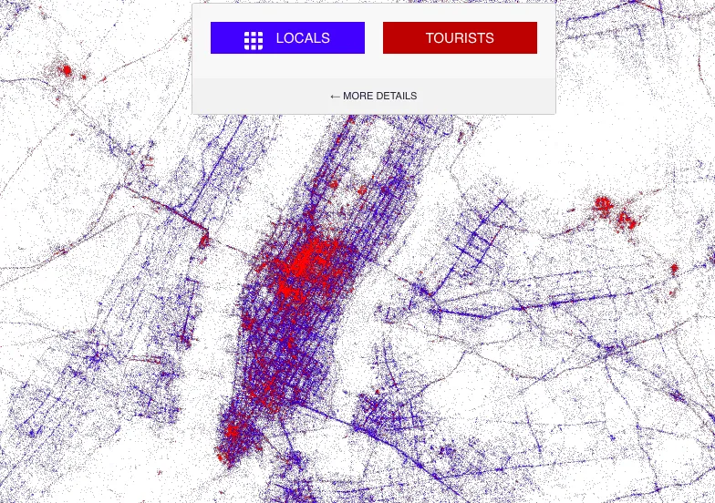
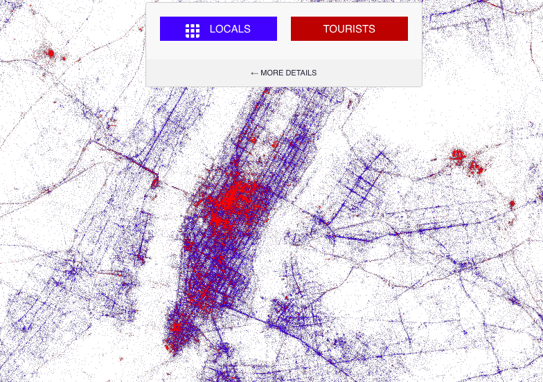
We know Eric Fisher of Mapbox from several cool mapping projects including mapping every geo-tagged tweet in the world or mapping routes of runners and bikers based on RunKeeper data. This time Eric created another awesome map which gives us insight on how locals and tourists take photos in different cities around the world.
He analysed huge amount of Gnip’s archive of geo-tagged tweets from September 2011 through May 2013. “Locals” were identified as people who’d been tweeting for one month or longer from the same city. “Tourists” were those who’d been tweeting in that city for less than a month, and who seem to be “local” in another city. Locals were marked as blue dots and tourists as red dots.
The map, which image you can find below, is fully interactive. When you zoom-in closer you’ll notice that tweet-points are not overlaid on any background map. The world map is actually drew by tweets, which makes a very interesting effect.
Definitely Geoawesome!


