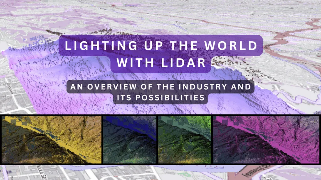
Lighting Up the World with LiDAR: An Overview of the Industry and Its Possibilities

From autonomous vehicles navigating busy city streets to archaeologists discovering ancient cities buried beneath thick canopies, LiDAR (Light Detection and Ranging) technology is redefining how we perceive the world around us. In just a few decades, what began as a niche remote sensing method has transformed into one of the most promising and dynamic tools in the geospatial industry.
This article takes a look at the current landscape of this industry, showcasing its most innovative applications, global-scale projects, and online resources that make it more accessible and interactive than ever before.
What Makes LiDAR Unique?
LiDAR is a remote sensing method that uses laser pulses to measure distances. Mounted on drones, airplanes, vehicles, or even handheld devices, it captures the shape of the Earth’s surface, buildings, vegetation, and other objects in 3D with exceptional accuracy and resolution.
What makes LiDAR stand out is its ability to “see” through dense vegetation and even some water surfaces, its independence from sunlight (unlike photogrammetry), and its capability to generate highly detailed digital elevation models (DEMs) and 3D point clouds. That makes Aerial Laser Scanning (ALS) great for mapping static environments and detecting change over time.
Use Cases of LiDAR
Global Projects Leveraging LiDAR at Scale
Challenges and Frontiers
Despite its powerful capabilities, LiDAR is not without limitations. Data acquisition can be expensive, and processing massive point clouds requires significant computing resources. Interpretation of raw LiDAR data also requires domain expertise.
However, advances in machine learning, cloud computing, and edge processing are making aerial laser scanning data easier to manage and analyze. Real-time point cloud classification and segmentation are becoming more accessible, opening new doors for automation and AI-powered insights.
Geoawesome Landscape: LiDAR Companies and Startups
A curated section featuring the leading LiDAR-sensor manufacturers, data processing startups, and AI innovators transforming the this industry.
Conclusion: Lighting the Way Forward
The use of LiDAR is expanding beyond the confines of scientific laboratories and niche surveying companies. This technology is fundamental to innovation in a wide range of fields, including environmental science, transportation, disaster management, and archaeology. Its capacity to produce precise 3D models of the world has led to novel approaches in analyzing, managing, and safeguarding our planet.
As access to aerial data becomes more widely available through open platforms and cloud services, the technology’s impact will continue to expand.
How do you like this technology? Share your thoughts! Read more and subscribe to our monthly newsletter!


#GeoDev
Next article
Geospatial for Good: Help us showcase the positive impact of Geospatial on the world

Update: The 1st edition of the report was published on 22nd September 2025. You can download it here.
Geoawesome turned 14 and we’re marking the milestone with a global community report to spotlight how geospatial technologies are making the world a better place.
Across the globe, people are using location data, satellite imagery, maps, and spatial analysis to respond to disasters, strengthen climate resilience, protect biodiversity, and support local communities. Yet these stories of impact often remain under the radar.
We’re changing that.
Why We’re Doing This
Maps don’t just represent the world—they can help change it.
Geospatial for Good is a community-driven initiative to document and celebrate the real-world impact of geospatial tools across sectors. This report will highlight how geospatial work contributes to some of the world’s most urgent challenges, aligned with the UN Sustainable Development Goals (SDGs).
It’s not a product showcase. It’s a storytelling project about people, organizations, and communities using geospatial insight for public good.
It’s a community project that raises awareness of the programs and the organisations that are doing good in the world, and how you can help!
Intended Audience
This report is designed for:
This community-report is intended for two primary audiences
- Geospatial data/tool/service providers with the objective of educating them about these use-cases and how they can partner/design/scale with the “for good” community
- Organisations applying these tools/services/data to a given SDG (Social innovators, Non-profit, public sector, academic communities, and others) with the objective of helping them getting a pulse on the state of the state and having their work featured
Why Use the SDGs?
The SDGs are a globally recognized framework that allows us to organize stories thematically and demonstrate relevance across different sectors and geographies. While alternative frameworks exist, the SDGs provide a common language for policymakers, implementers, and the public—and align well with the missions of many of the organizations we aim to feature.
What the Report Will Include
The Geospatial for Good report is structured around SDG-aligned themes, but it goes beyond storytelling. It is designed to support decision-makers, practitioners, and local actors with inspiration, visibility, and practical value. Each section will be accessible, globally representative, and written with a non-technical audience in mind.
Thematic Chapters:
All of the 17 UN SDGs will be featured including
- Poverty alleviation/economic development
- Gender equality
- Climate Action & Resilience
- Sustainable Cities & Communities
- Zero Hunger & Agriculture
- Good Health & Wellbeing
- Quality Education & Youth Mapping
- Biodiversity & Conservation
- Disaster Response & Preparedness
- (and 8 more SDGs)
Each chapter will include:
-
A plain-language introduction to the SDG and why geospatial matters
-
Diverse real-world case studies
-
Key takeaways relevant to implementers and policymakers
-
Links to resources, tools, or open data
-
A call-to-action to support or collaborate with featured organizations
Additional Sections:
Making Geospatial Matter: A Guide for Policy and Decision-Makers
A chapter (or appendix) we are developing in consultation with experts. It aims to explore how public leaders can integrate geospatial tools into decision-making for climate, development, and crisis response.
We are actively seeking input from organizations and individuals who have worked with or advised policymakers on geospatial adoption.
Telling Your Geospatial Story
A dedicated chapter for local governments, NGOs, or grassroots mappers on how to communicate the impact of their work. This includes:
-
Tips for turning projects into compelling narratives
-
Suggestions for increasing visibility with funders and media
-
Opportunities to connect with the global “Geospatial for Good” network
Directory of Organizations & Global Resources
A curated, living list of mission-driven geospatial actors—NGOs, agencies, academic labs, and community initiatives—working for public good.
The purpose of the directory is to help peopel to connect with these organisations. We also aim to list their data/services/outputs and categorize their role in the ecosystem as best as possible.
Acknowledgements & Contributors
A final section recognizing those who contributed to shaping the report, from case study providers to expert reviewers.
Building a Global Directory
Alongside the report, we are curating a global list of organizations using geospatial for social, humanitarian, environmental, and development impact. Here are some of the organizations we’ve identified so far:
- Common Space
- MapAction
- Humanitarian OpenStreetMap Team (HOT)
- YouthMappers
- Kathmandu Living Labs
- RCMRD
- Crowd2Map Tanzania
- CartONG
- GISCorps (URISA)
- Ushahidi
- WeRobotics
- eHealth Africa
- GeoCensos
- RAISG
- Digital Earth Africa
- UN Geospatial Network
- ICIMOD
- Red Cross Climate Centre
- Group on Earth Observations (GEO)
This list is evolving—we welcome additions and recommendations.
How You Can Contribute
We are currently inviting:
-
Case studies or project spotlights
-
Reviewers for thematic chapters
-
Suggestions for organizations, individuals, or datasets to include
-
Visuals, maps, or media that help tell the story
-
Partners who want to help us extend reach and impact
You can contribute in any format—informal notes, links, or a quick email. We’ll work with you to develop and shape the content. Contributors will be acknowledged in the final publication.
Timeline
The 1st edition of the report was published in September 2025. If you or your organization would like to contribute, please reach out.
Contact: muthu@geoawesome.com
A heartfelt thank you to Rhiannan Price, Bill Greer, Kiri Carini, Rohini Swaminathan, Flavia de Souza Mendes, and Morgan Crowley for your support, encouragement, and thoughtful input so far on the Geospatial for Good initiative. Your perspectives have helped shape this project in meaningful ways, and we’re grateful to have you as part of the journey.
We’re just getting started and it already feels like something truly special is taking shape.

