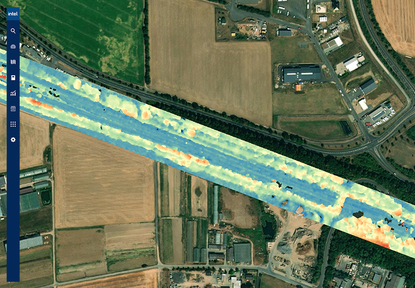
Technology giant Intel has quietly launched Intel Geospatial, a cloud platform that would support multi-source data types, geovisual data management, immersive 3D visualization, analytic applications, and enterprise integration for multifaceted industries such as utilities, smart cities, and oil and gas.

The scalable geospatial data management platform is designed to transform labor-intensive asset management practices into streamlined, data-driven workflows through which businesses can extract competitive insights easily.
Geovisual data – which is collected by remote sensing devices such as drones, satellites, manned aircraft, and autonomous vehicles – has the power to lay bare the dynamic reality of critical assets and infrastructure. Companies routinely use geospatial data to answer questions like:
- Where is my asset located?
- What is attached to/housed by it?
- What condition is it in?
- What is around it?
When coupled with automated analytics and AI, geospatial data can boost productivity with actionable insights, solve complex use cases, streamline operations by integrating intelligence with enterprise workflows, optimize asset and risk management operations, and maximize GIS investments and augment systems of record.
Intel’s new platform aims to do just that by leveraging Intel Geovisual Data Lake, which provides services specifically designed to solve the challenges of managing geospatial or geovisual data at scale. This includes a suite of services for data ingestion, storage, cataloging, and preparation.
To make its services more robust, Intel has also partnered with several leading geovisual technology providers including Bentley, Cesium, Enview, Hexagon, Pix4D, Drone Harmony, SAP, AWS, and Vexcel Imaging.
Benefits for Electric T&D
- Manage assets at scale
- Streamline operations and lower costs
- Reduce service interruption risk
Benefits for Smart Cities
- View asset inventory on a city scale
- Get automated maintenance alerts
- Optimize city infrastructure services
Benefits for Oil and Gas
- Proactively monitor the environment for oil spills
- Get a clear picture of assets in service
- Build enhanced geovisual intelligence


