 When was the last time you had that frustrating experience in a large supermarket, where you’ve been walking around in circles trying to find a small item? Indoor positioning technologies are one of the most hot topics around Location-Based Services. Every university linked with any kind of geo-stuff is currently working on indoor LBS including mapping, routing or positing.
The basic idea is that we are already pretty good in utilizing location outside, but people are spending more and more time inside buildings like offices, airports, shopping malls or supermarkets. Creating technology that would allow for truly great indoor LBS customer experience will allow to monetize a lot of great ideas including Location-Based Advertising but as well in indoor emergency procedures.
Why it is not there yet?
There are some technological and user adoption issues that need to be solved. The user experience needs to be indeed extraordinary in order for a broad adoption and basically, it’s not there yet. Although indoor positioning already works for example on Google Maps it’s far from being useful. The technology depends on WiFi and there are still no world-wide standards about creating indoor infrastructure and in order to create them there are so many parties to be involved…
But this is only one side of the problem. In order for the system to work venue owners/managers need to share indoor maps of their venues and giants like Google, Amazon or even Facebook could use it for advertising competitive products in leveraging their indoor location data. I could easily image entering getting text message in Zara store with $20 coupon from Banana Republic.
The Alliance to win indoor positioning battle
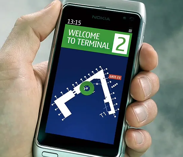
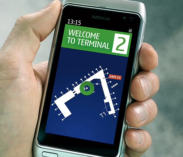
In order to deal with all those issues and introduce service that could be loved by customers Nokia announced The In-Location Alliance. It includes 22 companies across industries: phone makers such as Nokia, Samsung and Sony, chipset manufacturers such as Qualcomm, Broadcom, CSR, Dialog semiconductor, Nordic Semiconductor, indoor location pure players such as Insiteo and Visioglobe, and other companies linked to this market. Their mission is to “drive innovation and market adoption of high accuracy indoor positioning and related services“ according Nokia’s press release.
Who and why is not there?
But there are some notable exceptions in the alliance: Google, Apple or Amazon are not part of it. And I guess I know why: Nokia is in charge. First of all they’ve announced the alliance second of all Nokia’s HAIP ( High Accuracy Indoor Positioning Solution) will be the leading technology. It’s based on Bluetooth 4.0 and it has a minimal power consumption, which giving Google hard time.
As Nokia by itself has already developed the technology why do they want to share it? Nokia explains that due to the technicalities, developing the technology for indoor positioning requires different roles including telecom operators, system manufacturers, application developers and handset manufacturers. “The alliance members can bring the technology to the market sooner and also extend the technology in the future and provide new use cases and opportunities” we can read on Nokia’s blog. So basically they found some other companies to help them developing their technology. Smart move.
Conclusions
Whenever big companies are joining to create something good, creating some alternative to Google Maps domination it will be good for end-user, so for all of us. Congrats to Nokia for making such a huge brands working together on something.
source: Nokia Blog, GPS Business News


