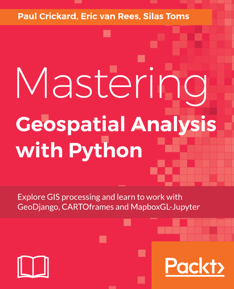
 For a long time, there was no reference book available with the most-used geospatial Python libraries, nor one that marks the transition from Python 2 to 3 – an important landmark because Python 3 has fixed many issues under the hood, which is why it’s a major language update. Finally, a book that included both raster and vector data analysis using Jupyter Notebooks was very much needed as this has become the new standard for writing code and visualizing spatial data in an interactive web environment, instead of working with a code editor.
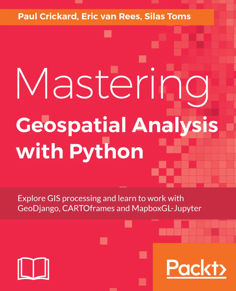
A new book, called “Mastering Geospatial Analysis with Python” (Packt Publishing), tries to fill this gap. Whereas other geospatial Python usually cover only a small sample of Python libraries, or even one type of application, this book takes a more holistic approach covering a wide range of tools available for interacting with geospatial data. This is done through short software tutorials that show how to use a dataset for real-world everyday data management, analysis and visualization problems.
A geospatial analyst toolkit
The book starts with an introduction the most powerful Python libraries. One example is GDAL, whose read and write capabilities are used throughout the industry on a daily basis, whether as a part of desktop software or as a standalone solution. Also included in the book are new, more Pythonic libraries built on top of GDAL, such as Rasterio, GeoPandas and Fiona. Brand new geospatial libraries such as Esri’s ArcGIS API for Python, Carto’s CARTOFrames and Mapbox’ MapboxGL-Jupyter that haven’t been covered anywhere else yet. These libraries are examples of how geospatial companies are releasing APIs to interact with a cloud-based infrastructure to store, visualize, analyze and edit geospatial data.
It´s no surprise that geospatial companies release these types of APIs. Taking Google and Amazon’s platforms as an example, spatial data only makes sense if you have the right platform and tools to manage that data. This book enables you to try out different geospatial platforms and APIs, so you can compare capabilities of each one. Raster and vector data analysis are another important topic. Vector and raster data analysis is still performed on a daily basis and therefore should be part of every geospatial analyst’s toolkit. Apart from spatial analysis, the book teaches you how to create a geospatial REST API, process data in the cloud and create a web mapping application.
If you interact on a daily basis with spatial databases, Python has got you covered. With some scripting experience under your belt, you’ll learn how to manage databases such as PostGIS, SQL Server and Spatialite. It´s no surprise that PostGIS is gaining more territory and is mentioned more often in job ads for geospatial analysts.
The future
Finally, some last words about the future of geospatial analysis. The adoption of AI, machine learning and blockchain technology is already transforming geospatial technology. Expect even more data types, formats, standards and converging technologies where geospatial as-we-know-it will have its place. It’s only recently that geospatial technology has been gaining interest from other domains. This book hopes to cross the bridge between different domains, showing that Python is an excellent way of getting into the geospatial domain and discover its many great tools.


