#Business #Featured

Google releases users’ location data to show COVID-19 lockdown impact

Google location data COVID-19

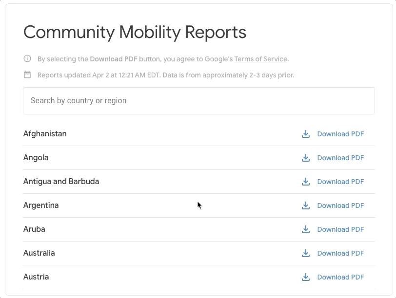
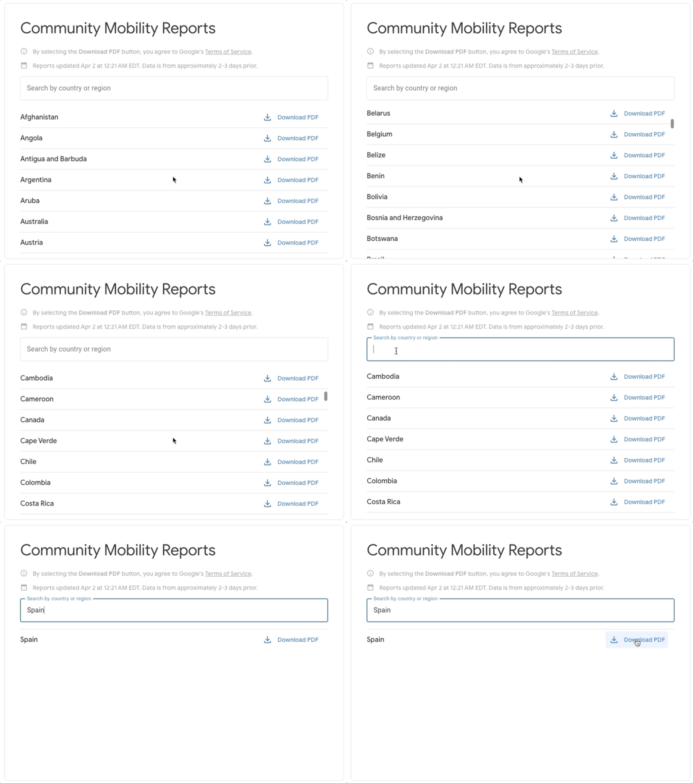
Google is publishing a region-wise analysis of aggregated, anonymized location data collected from users who have turned on the ‘Location History’ setting on their mobile devices. The tech giant says that its ‘COVID-19 Community Mobility Reports’ will help public health officials understand how people are responding to social distancing guidelines issued by governments in response to the coronavirus pandemic. The initial set of reports is available for 131 countries and regions across the globe.

Also see: Facebook bolsters COVID-19 fight with new Disease Prevention Maps

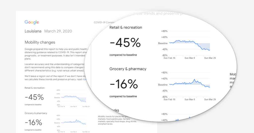
Google’s Mobility Reports chart movement trends across different categories of places such as retail and recreation, groceries and pharmacies, parks, transit stations, offices, and residential buildings. The trends are analyzed over several weeks, with the most recent information included in the data being at least 48-to-72 hours old.
Google location data COVID-19

Essentially, what Google displays is a percentage point increase or decrease in visits at a particular place and not the absolute number of visits. Also, to ensure privacy compliance, no personally identifiable information – such as an individual’s location, contacts or movement – is made public in the reports.

In a blog post, Google explains how it hopes these reports will help support decisions about how to manage the COVID-19 pandemic. “For example, this information could help officials understand changes in essential trips that can shape recommendations on business hours or inform delivery service offerings. Similarly, persistent visits to transportation hubs might indicate the need to add additional buses or trains in order to allow people who need to travel room to spread out for social distancing.”

Ultimately, understanding not only whether people are traveling, but also trends in destinations, can help officials design guidance to protect public health and the essential needs of communities.

Google will make the COVID-19 Community Mobility Reports available only for a limited time, so long as public health officials, civil society groups, local governments, and communities at large find them useful in their work to flatten the curve of COVID-19.

Say thanks for this article (0)
The community is supported by:
Become a sponsor
#Business
#Business #Events #Featured
Gain Insights from Spectral, SAR, and LiDAR Thoughts Leaders at Geo Sessions 2024
Avatar for NV5 Geospatial
NV5 Geospatial 09.30.2024
AWESOME 4
#Business #Events
SatSummit 2024 Reflections: The evolving landscape of Earth Observation
Avatar for Florian Fichtner
Florian Fichtner 05.22.2024
AWESOME 9
#Business #Featured
The Earth Observation Hub Report: 2024 Industry Trends and Analysis
Avatar for Muthukumar Kumar
Muthukumar Kumar 03.13.2024
AWESOME 4
Next article
#Featured #People

ESA offering weekly cash prizes for ideas on using satellite data to fight COVID-19

ESA COVID-19 Contest

How can earth observation data help with monitoring and mitigating the impacts of the deadly coronavirus outbreak on society? The European Space Agency (ESA), in coordination with the European Commission, is calling on remote sensing experts, machine learning scientists, and even ordinary citizens, to explore how satellite data could help ease the COVID-19 crisis for economic sectors such as industry, commerce, transport, and agriculture.

With the novel coronavirus virtually bringing the entire planet to its knees, ESA is well aware that industries around the world will continue to face huge challenges in getting back to ‘normal’ even after public health agencies have succeeded in flattening the curve and halting the spread of this highly infectious disease. Therefore, the intergovernmental organization has announced a new contest focusing on the support of space assets to alleviate the effects of this pandemic situation.

ESA COVID-19 ContestESA’s Custom Script Contest will focus on the following three categories:

  1. Economic Operators’ Activity(such as factories, supermarkets, transport networks, oil refineries, commercial ports)
  2. Human Activity Distribution(for example, parked car distributions over urban areas, social distancing estimations, etc.)
  3. Agriculture Activity(think unattended fields and crops, disruptions due to supply chain issues, or things that may contribute to the mitigation of problems appearing in 6 months from now)

The focus geographical area for this contest is the European Union, EEA, ESA member states, and cooperating states.

ESA will reward the best contributions with 1000€ cash prizes every week. There will also be 1000€ prizes for the best idea in each category every month and a final prize of 5000€ for the best overall contribution.

Participating in the contest is as simple as composing a set of slides presenting the ideas that would leverage satellite data, tools, and machine learning technologies. ESA has even made a plethora of Euro Data Cube Tools ready to be used for this purpose – starting from EO BrowserSentinel Hub and xcube services, eo-learnJupyter Notebooks, and more. Basically, something for any skill level and every analysis.

So, if you are a self-taught remote sensing enthusiast, you could check the data, play with it, come up with an idea, compile a presentation and send it through.  Providing a script or source code is not a compulsion. Similarly, EO experts can use the various tools made available by ESA to perform a detailed analysis and demonstrate the patterns. An idea for machine learning experts, meanwhile, could be to model agriculture activities and identify potentially abandoned areas, that may result in reduced yields in the harvest seasons.

There is no doubt that COVID-19 is putting society under huge strain. And while ESA may not be really placed to help forecast the progression of the virus, Josef Aschbacher, ESA’s Director of Earth Observation Programmes, acknowledges that the agency certainly continues to have a wealth of data streaming back to it from some of the most sophisticated satellites ever built as well as new artificial intelligence technologies that can be used to understand and monitor some of the societal shifts. “Innovation is key to using satellite data to help serve society during these challenging times,” he says.

The contest is open until May 31, 2020, but the urgency of the situation calls that you contribute to this humankind challenge right away – while staying home and healthy.

Read on
Search