Geospatial in Agriculture – WiG+ Essay
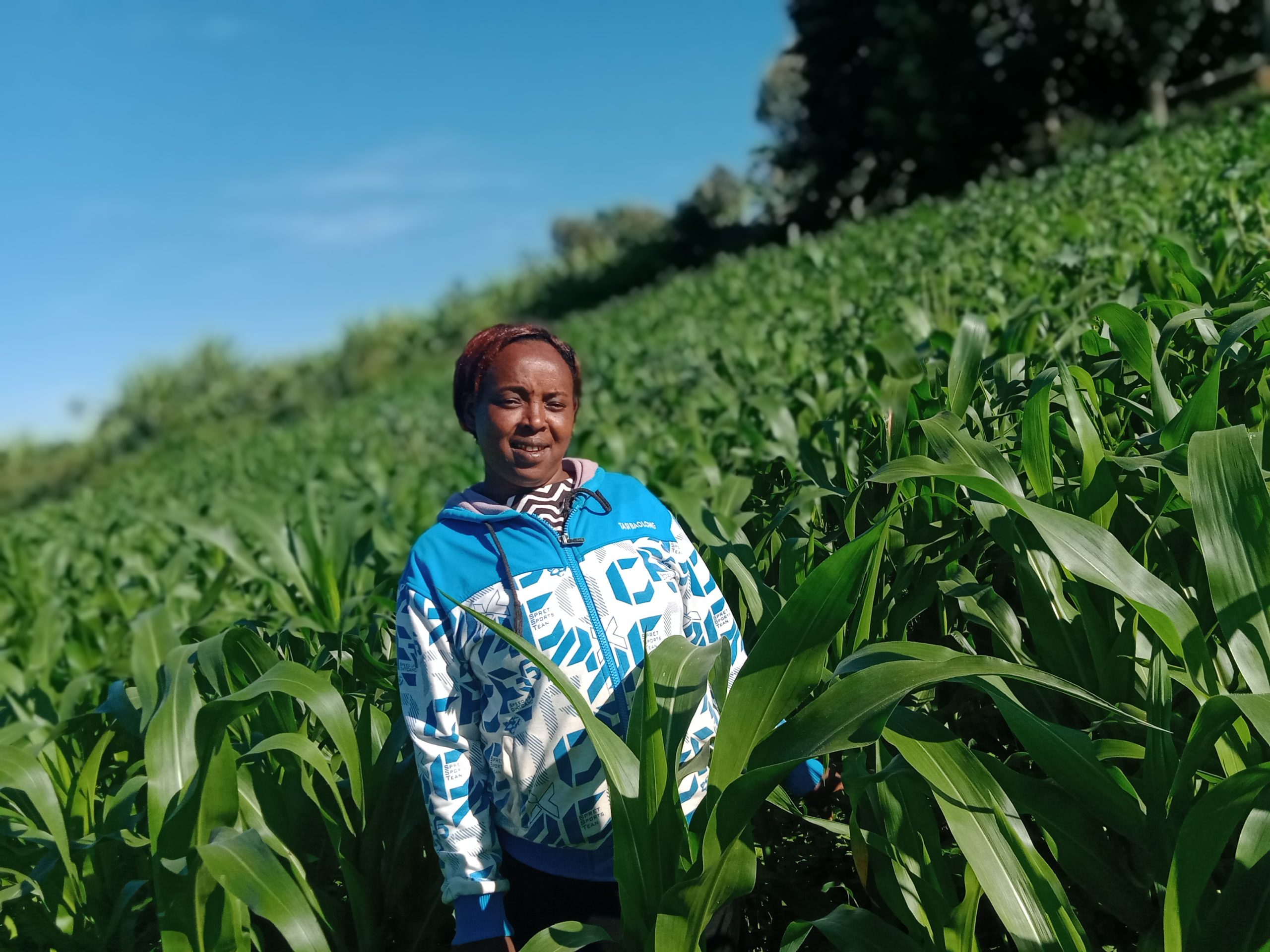
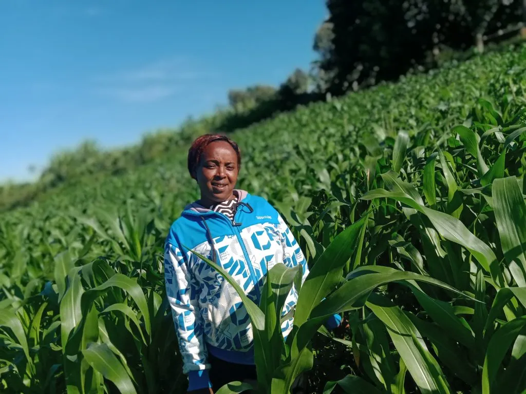
Photo by Njambi Kimani
It’s the beginning of April and Wambui a small-scale farmer in the Bahati Settlement area of Nakuru- Kenya is worried that the rains are a little late. She plans to plant potatoes, beans, and maize in the two hectares farm where she also resides and keeps three dairy cows. On the other side of the river, Mr. Ndoro has over a hundred laborers working to complete the wheat harvesting before the rains begin. He is a rich man with over two hundred hectares of both tea and wheat – an incredible combination that lay beside each other forming a beautiful canopy that transitions from green to brown. He uses a helicopter to spray herbicides on his crops- it’s beautiful. In the dry regions of Solai, Rono takes his two beef cattle to the farmers’ market. The two are the only remaining ones from a herd of almost three hundred cattle he had the previous year. He wants to shift to growing avocados and he is hopeful that the sixty seedlings he plans to acquire from the cooperation will give him a fortune.
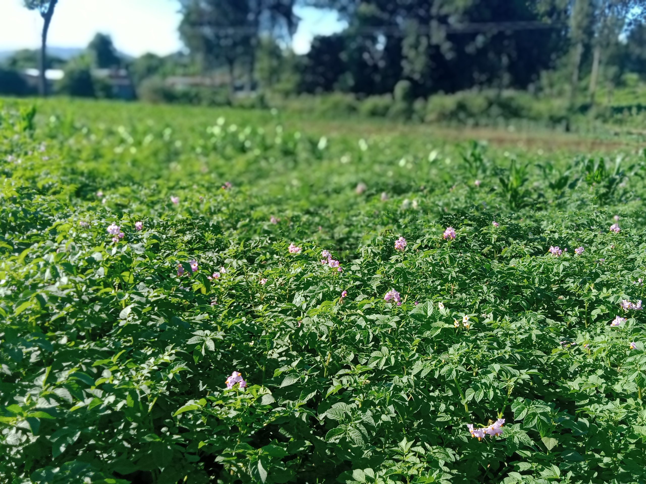
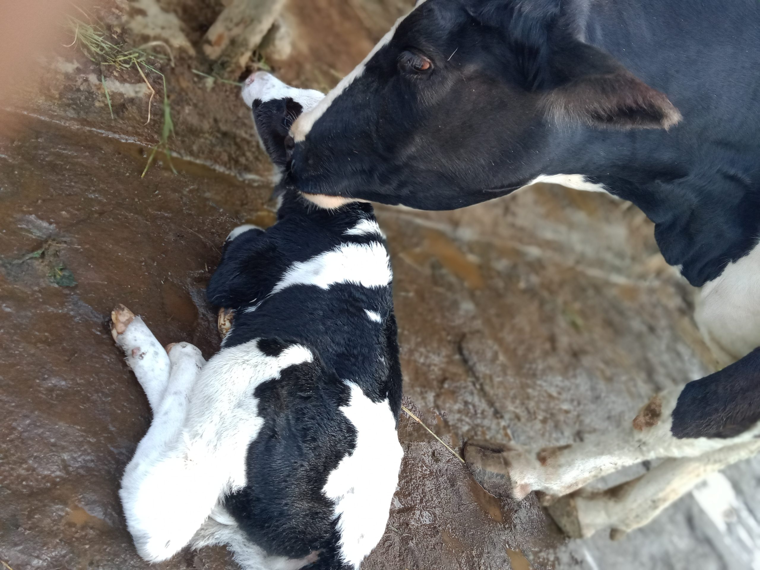
Wambui is my mother, and she is still a little green in the field of geospatial analysis even after she put me through five years of school. She laughs it off when I remind her of this and in her subtle way, challenges me to a task on how my experience can be of help to her agricultural prospects.
All around the different forms of agriculture vary from place to place affected by different factors. Ranging from environmental factors, climatic conditions, and soil composition, a lot of variables come into play in determining sustainable agricultural practices. Geostatistics, spatial analysis, soil mapping, and sampling are among the vital methods involved in the process. Understanding the different requirements for crops in terms of soil factors (eg. pH, organic carbon), climatic conditions (eg. temperature, precipitation), and environmental factors such as altitude and surrounding ecosystem is crucial. Geospatial technologies have become a holy grail in agricultural research and mapping. Geospatial data has made it possible to carry out suitability analysis for these crops. The area that meets the most of a crop requirement is usually mapped. Spatial analysis paves way for extensive agricultural research such as sustainable seeds and fertilisers.
Environmental modelling, climate modelling, and prediction are research themes that have now become achievable through geospatial science. Integrating both spatial and non-spatial data provides a clearer picture of the state of agriculture and food systems which are now a global concern. Given that the world continues to evolve in industrialization, technology, and urbanization, a healthy population is dependent on good and sustainable agricultural practices. To be conscious of this, incorporating modern technology with geospatial science to match the ever-evolving world is important. New methods of earth observation science are coming up and coupled with machine learning and data science it is fascinating to see how this geospatial field is becoming more dynamic.
Today, Wambui has become more conscious of the environment and her agricultural practices have become more sustainable. Through soil sampling, she can understand what seeds and fertilisers to purchase. From the climatic patterns and predictions, she can decide on what to plant and when. Once in a while, she gets the chance to showcase her farming methods to her neighbours, and when asked how she transitioned from the traditional methods of farming, she mentions geospatial science.


